43 Edmonds Rd Sherman, CT 06784
Estimated Value: $160,000 - $640,000
3
Beds
2
Baths
1,980
Sq Ft
$237/Sq Ft
Est. Value
About This Home
This home is located at 43 Edmonds Rd, Sherman, CT 06784 and is currently estimated at $468,544, approximately $236 per square foot. 43 Edmonds Rd is a home located in Fairfield County with nearby schools including Sherman School.
Ownership History
Date
Name
Owned For
Owner Type
Purchase Details
Closed on
Sep 22, 2022
Sold by
Plemmons Chesley J
Bought by
Gwyther Geoffrey and Whitelaw Flora
Current Estimated Value
Purchase Details
Closed on
Jun 9, 2015
Sold by
Gwyther Geoffrey
Bought by
Whitelaw Daniel
Purchase Details
Closed on
May 28, 2015
Sold by
Gwyther Geoffrey
Bought by
Whitelaw Flora
Purchase Details
Closed on
Mar 20, 2012
Sold by
Gywther Geoffrer
Bought by
Whitelaw Flora
Purchase Details
Closed on
Sep 10, 2004
Sold by
Griest Elinor P
Bought by
Gwyther Anthony and Gwyther Geoffrey
Home Financials for this Owner
Home Financials are based on the most recent Mortgage that was taken out on this home.
Original Mortgage
$230,000
Interest Rate
6.08%
Create a Home Valuation Report for This Property
The Home Valuation Report is an in-depth analysis detailing your home's value as well as a comparison with similar homes in the area
Home Values in the Area
Average Home Value in this Area
Purchase History
| Date | Buyer | Sale Price | Title Company |
|---|---|---|---|
| Gwyther Geoffrey | -- | None Available | |
| Whitelaw Daniel | $69,000 | -- | |
| Whitelaw Flora | -- | -- | |
| Gwyther Geoffrey | -- | -- | |
| Gwyther Geoffrey | -- | -- | |
| Whitelaw Flora | -- | -- | |
| Gwyther Geoffrey | -- | -- | |
| Gwyther Anthony | $287,500 | -- |
Source: Public Records
Mortgage History
| Date | Status | Borrower | Loan Amount |
|---|---|---|---|
| Previous Owner | Gwyther Anthony | $236,000 | |
| Previous Owner | Gwyther Anthony | $230,000 | |
| Previous Owner | Gwyther Anthony | $230,000 |
Source: Public Records
Tax History
| Year | Tax Paid | Tax Assessment Tax Assessment Total Assessment is a certain percentage of the fair market value that is determined by local assessors to be the total taxable value of land and additions on the property. | Land | Improvement |
|---|---|---|---|---|
| 2025 | $3,717 | $223,000 | $95,400 | $127,600 |
| 2024 | $3,648 | $223,000 | $95,400 | $127,600 |
| 2023 | $3,974 | $223,000 | $95,400 | $127,600 |
| 2022 | $4,054 | $223,000 | $95,400 | $127,600 |
| 2021 | $4,157 | $223,000 | $95,400 | $127,600 |
| 2020 | $4,262 | $223,000 | $95,400 | $127,600 |
| 2019 | $4,418 | $223,000 | $95,400 | $127,600 |
| 2018 | $4,599 | $226,200 | $95,400 | $130,800 |
| 2017 | $4,597 | $226,100 | $95,300 | $130,800 |
| 2016 | $4,598 | $226,170 | $95,340 | $130,830 |
| 2015 | $4,552 | $227,150 | $95,340 | $131,810 |
| 2014 | -- | $227,150 | $95,340 | $131,810 |
Source: Public Records
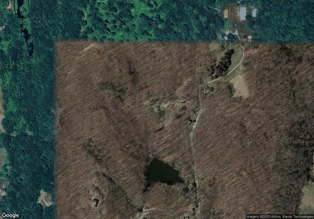
Map
Nearby Homes
- 105 Route 39 N
- 00 Anderson Rd
- 24 Colonial Ridge Dr
- 31 Cedar Hill Rd
- 612 Kent Rd
- 685 Kent Rd
- 6 Hoyt Rd
- 11 Gelston Rd
- 2 Coburn Road W, She Coburn Rd W
- 5 Lyric Ln
- 1 Hoyt Rd
- 1 Pond View Ln
- 3 Gelston Rd
- 20 Zacary Ln
- 34 Front of the Mountain Rd
- 60 Long River Rd
- 32 Long River Rd
- 41 Long River Rd
- 15 Twin Oaks
- 6 River Bend Ln
Your Personal Tour Guide
Ask me questions while you tour the home.