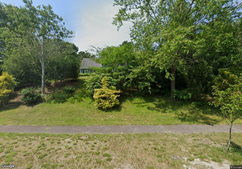
43 Fairview Ln Plymouth, MA 02360
Estimated Value: $890,000 - $989,000
4
Beds
3
Baths
2,756
Sq Ft
$342/Sq Ft
Est. Value
About This Home
This home is located at 43 Fairview Ln, Plymouth, MA 02360 and is currently estimated at $942,304, approximately $341 per square foot. 43 Fairview Ln is a home located in Plymouth County with nearby schools including Nathaniel Morton Elementary School, Plymouth Community Intermediate, and Plymouth North High School.
Ownership History
Date
Name
Owned For
Owner Type
Purchase Details
Closed on
Oct 3, 2025
Sold by
Roos Kenneth W and Roos Renee N
Bought by
Roos Ft and Roos
Current Estimated Value
Purchase Details
Closed on
Jul 9, 1998
Sold by
Old Sandwich T and Coll
Bought by
Roos Kenneth W and Roos Renee N
Create a Home Valuation Report for This Property
The Home Valuation Report is an in-depth analysis detailing your home's value as well as a comparison with similar homes in the area
Home Values in the Area
Average Home Value in this Area
Purchase History
| Date | Buyer | Sale Price | Title Company |
|---|---|---|---|
| Roos Ft | -- | -- | |
| Roos Kenneth W | $70,000 | -- |
Source: Public Records
Mortgage History
| Date | Status | Borrower | Loan Amount |
|---|---|---|---|
| Previous Owner | Roos Kenneth W | $250,000 | |
| Previous Owner | Roos Kenneth W | $26,000 | |
| Previous Owner | Roos Kenneth W | $214,000 |
Source: Public Records
Tax History Compared to Growth
Tax History
| Year | Tax Paid | Tax Assessment Tax Assessment Total Assessment is a certain percentage of the fair market value that is determined by local assessors to be the total taxable value of land and additions on the property. | Land | Improvement |
|---|---|---|---|---|
| 2025 | $9,531 | $751,100 | $240,600 | $510,500 |
| 2024 | $9,084 | $705,800 | $219,700 | $486,100 |
| 2023 | $8,752 | $638,400 | $198,900 | $439,500 |
| 2022 | $8,328 | $539,700 | $187,300 | $352,400 |
| 2021 | $8,329 | $515,400 | $187,300 | $328,100 |
| 2020 | $8,141 | $497,900 | $170,800 | $327,100 |
| 2019 | $8,083 | $488,700 | $159,800 | $328,900 |
| 2018 | $7,845 | $476,600 | $148,800 | $327,800 |
| 2017 | $7,347 | $443,100 | $148,800 | $294,300 |
| 2016 | $7,256 | $446,000 | $149,800 | $296,200 |
| 2015 | $6,869 | $442,000 | $143,800 | $298,200 |
| 2014 | $6,536 | $432,000 | $143,800 | $288,200 |
Source: Public Records
Map
Nearby Homes
- 81 Boatwrights Loop
- 79 Boatwright's Loop
- 39 Woodsong
- 5 Juneberry
- 48 Briarwood
- 68 Bentgrass Mist Unit 68
- 55 Bentgrass Mist Unit 55
- 16 Rebeccas Landing Unit 16
- 59 Bentgrass Mist Unit 59
- 61 Bentgrass Mist Unit 61
- 19 Red Leaf
- 11 Station Dr Unit 33
- 12 Broadleaf
- 7 Broadleaf
- 7 Broadleaf Unit 3
- 15 Broadleaf
- 10 Broadleaf
- 9 Broadleaf
- Hager Plan at Toll Brothers at The Pinehills - Broadleaf
- David Plan at Toll Brothers at The Pinehills - Broadleaf
- 49 Fairview Ln
- 37 Fairview Ln
- 33 Fairview Ln
- 55 Fairview Ln
- 26 Boatwrights Loop
- 46 Fairview Ln
- 42 Fairview Ln
- 44 Boatwright's Loop
- 24 Boatwrights Loop
- 50 Fairview Ln
- 22 Boatwright's Loop
- 46 Boatwright's Loop
- 38 Fairview Ln
- 20 Boatwrights Loop
- 48 Boatwright's Loop
- 25 Fairview Ln
- 54 Fairview Ln
- 18 Boatwrights Loop
- 50 Boatwright's Loop
- 34 Fairview Ln