Estimated Value: $126,479 - $277,000
--
Bed
--
Bath
--
Sq Ft
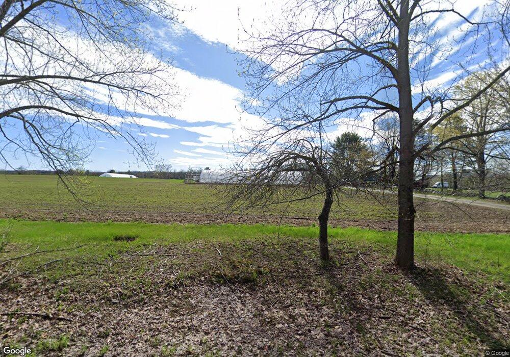
17
Acres
About This Home
This home is located at 43 Fisher Rd, Unity, ME 04988 and is currently estimated at $205,493. 43 Fisher Rd is a home with nearby schools including Mt. View Middle School, Mt. View High School, and Ecology Learning Center.
Ownership History
Date
Name
Owned For
Owner Type
Purchase Details
Closed on
May 4, 2018
Sold by
Maine Farmland Trust Inc
Bought by
Buckle James
Current Estimated Value
Home Financials for this Owner
Home Financials are based on the most recent Mortgage that was taken out on this home.
Original Mortgage
$111,800
Outstanding Balance
$96,186
Interest Rate
4.55%
Estimated Equity
$109,307
Purchase Details
Closed on
Apr 8, 2014
Sold by
Linehan Matthew
Bought by
Maine Farmland Tinc
Purchase Details
Closed on
Aug 22, 2008
Sold by
Unity Barn Raisers
Bought by
Linehan Matt
Create a Home Valuation Report for This Property
The Home Valuation Report is an in-depth analysis detailing your home's value as well as a comparison with similar homes in the area
Home Values in the Area
Average Home Value in this Area
Purchase History
| Date | Buyer | Sale Price | Title Company |
|---|---|---|---|
| Buckle James | -- | -- | |
| Maine Farmland Tinc | -- | -- | |
| Linehan Matt | -- | -- |
Source: Public Records
Mortgage History
| Date | Status | Borrower | Loan Amount |
|---|---|---|---|
| Open | Buckle James | $111,800 | |
| Closed | Buckle James | -- |
Source: Public Records
Tax History Compared to Growth
Tax History
| Year | Tax Paid | Tax Assessment Tax Assessment Total Assessment is a certain percentage of the fair market value that is determined by local assessors to be the total taxable value of land and additions on the property. | Land | Improvement |
|---|---|---|---|---|
| 2024 | $1,392 | $91,900 | $58,500 | $33,400 |
| 2022 | $1,169 | $73,500 | $46,800 | $26,700 |
| 2021 | $1,187 | $73,500 | $46,800 | $26,700 |
| 2020 | $1,283 | $73,500 | $46,800 | $26,700 |
| 2019 | $1,283 | $73,500 | $46,800 | $26,700 |
| 2018 | $1,231 | $73,500 | $46,800 | $26,700 |
| 2017 | $1,224 | $73,500 | $46,800 | $26,700 |
| 2016 | $1,238 | $73,500 | $46,800 | $26,700 |
| 2014 | $1,088 | $73,500 | $46,800 | $26,700 |
| 2013 | $985 | $73,500 | $46,800 | $26,700 |
Source: Public Records
Map
Nearby Homes
- 106 & 108 Ward Hill Rd
- 23 Bangor Rd
- Pond View Subdivision Us-202
- Lot 4.04 Palmer Rd
- Lot 45-1 Maine 220
- 227 Main St
- 126 Newell Ct
- 13 Chestnut St
- 5 Chestnut St
- Lot 9 Chestnut St
- Lot 8 Chestnut St
- TBD U S Highway 202
- M 6 L 2.01 Murray Rd
- 391 School St
- 92 Waning Rd
- 473 Mount View Rd
- M8 L19 U S Highway 202
- 194 E Gulch Rd
- 12-03 Horseback Rd
- M9L19 Horseback Rd
- 33 Fisher Rd
- 46 Fisher Rd
- 32 Fisher Rd
- 0 Fisher Rd
- 68 Fisher Rd
- 297 Ward Hill Rd
- 328 Ward Hill Rd
- 20 Fisher Rd
- 319 Ward Hill Rd
- 87 Fisher Rd
- 74 Ward Hill Rd
- Lot 5-5 Ward Hilland Mile Rd
- 94 Fisher Rd
- 275 Ward Hill Rd
- 84 Ward Hill Rd
- 109 Fisher Rd
- Lot23,24 Ward Hill Rd
- 114 Fisher Rd
- 115 Fisher Rd
- 335 Ward Hill Rd