43 Flat Swamp Rd Newtown, CT 06470
Estimated Value: $1,080,861 - $1,412,000
4
Beds
6
Baths
4,242
Sq Ft
$304/Sq Ft
Est. Value
About This Home
This home is located at 43 Flat Swamp Rd, Newtown, CT 06470 and is currently estimated at $1,290,465, approximately $304 per square foot. 43 Flat Swamp Rd is a home located in Fairfield County with nearby schools including Head O'Meadow Elementary School, Reed Intermediate School, and Newtown Middle School.
Ownership History
Date
Name
Owned For
Owner Type
Purchase Details
Closed on
Aug 30, 2005
Sold by
Munger Sandra
Bought by
Rogers Jennifer and Rogers Edward
Current Estimated Value
Purchase Details
Closed on
Aug 10, 1995
Sold by
Griffin David
Bought by
Munger Sandra
Create a Home Valuation Report for This Property
The Home Valuation Report is an in-depth analysis detailing your home's value as well as a comparison with similar homes in the area
Home Values in the Area
Average Home Value in this Area
Purchase History
| Date | Buyer | Sale Price | Title Company |
|---|---|---|---|
| Rogers Jennifer | $1,100,000 | -- | |
| Rogers Jennifer | $1,100,000 | -- | |
| Munger Sandra | $125,000 | -- | |
| Munger Sandra | $125,000 | -- |
Source: Public Records
Mortgage History
| Date | Status | Borrower | Loan Amount |
|---|---|---|---|
| Previous Owner | Munger Sandra | $480,000 | |
| Previous Owner | Munger Sandra | $105,000 | |
| Previous Owner | Munger Sandra | $392,000 |
Source: Public Records
Tax History Compared to Growth
Tax History
| Year | Tax Paid | Tax Assessment Tax Assessment Total Assessment is a certain percentage of the fair market value that is determined by local assessors to be the total taxable value of land and additions on the property. | Land | Improvement |
|---|---|---|---|---|
| 2025 | $16,171 | $562,680 | $157,200 | $405,480 |
| 2024 | $15,175 | $562,680 | $157,200 | $405,480 |
| 2023 | $14,806 | $564,240 | $157,200 | $407,040 |
| 2022 | $14,663 | $422,920 | $114,500 | $308,420 |
| 2021 | $14,654 | $422,920 | $114,500 | $308,420 |
| 2020 | $14,701 | $422,920 | $114,500 | $308,420 |
| 2019 | $14,705 | $422,920 | $114,500 | $308,420 |
| 2018 | $14,481 | $422,920 | $114,500 | $308,420 |
| 2017 | $15,758 | $465,250 | $122,970 | $342,280 |
| 2016 | $15,632 | $465,250 | $122,970 | $342,280 |
| 2015 | $15,386 | $465,250 | $122,970 | $342,280 |
| 2014 | $15,497 | $465,250 | $122,970 | $342,280 |
Source: Public Records
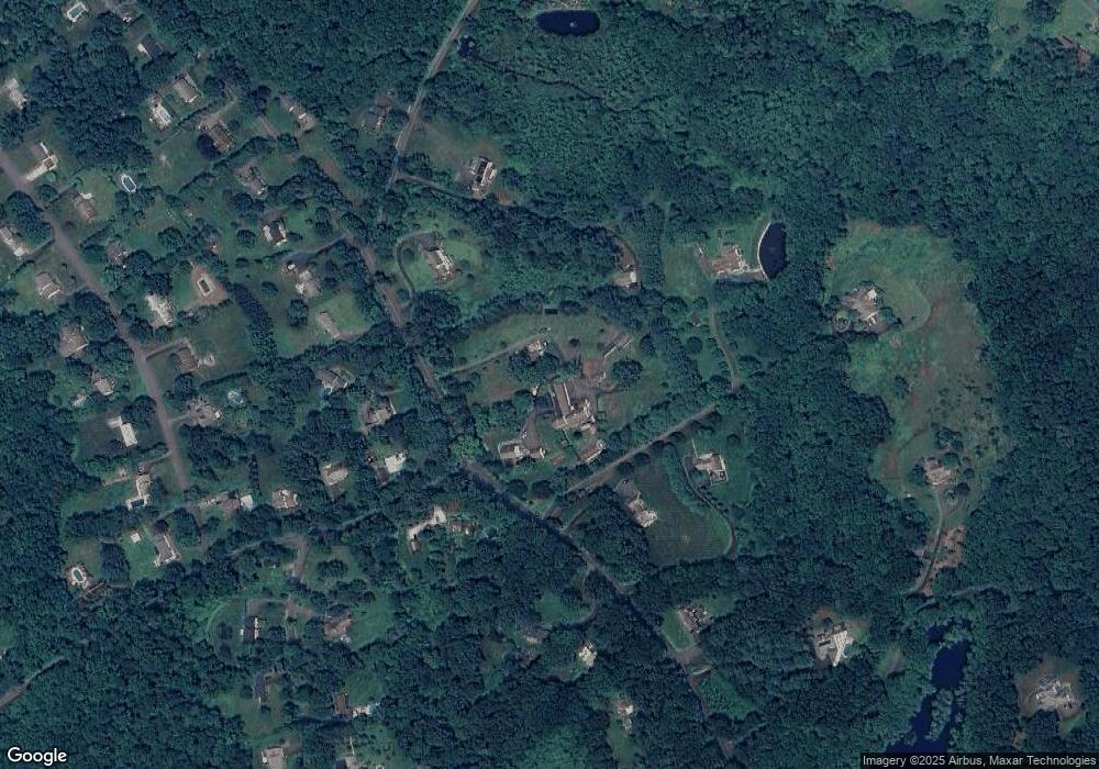
Map
Nearby Homes
- 16 Rock Ridge Rd
- 31 Poverty Hollow Rd
- 35 Poverty Hollow Rd
- 184 Sugar St
- 83 Birch Hill Rd
- 113 Codfish Hill Rd
- 68 Birch Hill Rd
- 7 Cross Brook Rd
- 3 Boulder Creek Rd
- 139 Codfish Hill Rd
- 38 Aunt Pattys Ln W
- 10 Wedgewood Ct
- 133 Sugar St
- 62 Codfish Hill Rd
- 4 Wentworth Dr
- 6 Windaway Rd
- 25 Wolfpits Rd
- 26 100 Acres Rd
- 62 Old Hawleyville Rd
- 11 Marywood Rd
- 19 Cemetery Rd
- 45 Flat Swamp Rd
- 41 Flat Swamp Rd
- 49 Flat Swamp Rd
- 39 Flat Swamp Rd
- 9 Cemetary Rd
- 49A Flat Swamp Rd
- 47 Flat Swamp Rd
- 17 Cemetary Rd
- 37 Flat Swamp Rd
- 15 Cemetery Rd
- 15 Cemetery Rd
- 51 Flat Swamp Rd
- 8 Hattertown Rd
- 1 Poor House Rd
- 4 Hattertown Rd
- 53 Flat Swamp Rd
- 10 Hattertown Rd
- 38 Flat Swamp Rd
- 46 Flat Swamp Rd