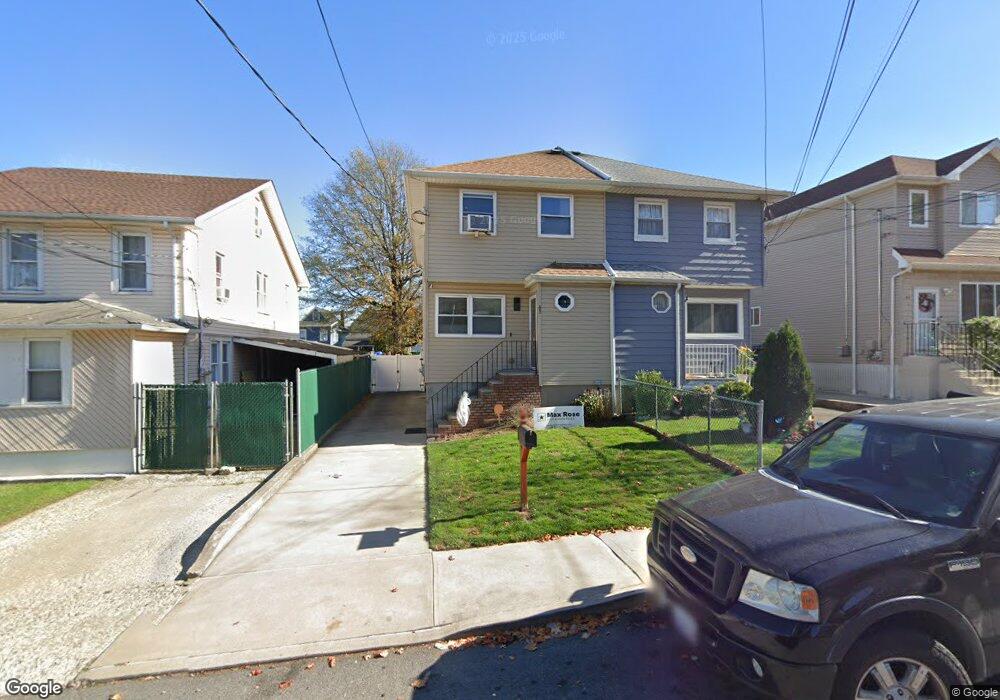
43 Harbor Rd Staten Island, NY 10303
Mariners Harbor NeighborhoodEstimated Value: $488,337 - $641,000
--
Bed
4
Baths
1,344
Sq Ft
$415/Sq Ft
Est. Value
About This Home
This home is located at 43 Harbor Rd, Staten Island, NY 10303 and is currently estimated at $558,084, approximately $415 per square foot. 43 Harbor Rd is a home located in Richmond County with nearby schools including P.S. 44 Thomas C Brown, I.S. 51 Edwin Markham, and Port Richmond High School.
Ownership History
Date
Name
Owned For
Owner Type
Purchase Details
Closed on
Mar 18, 2016
Sold by
Habitat For Humanity Housing Development
Bought by
Featherstone Yolanda
Current Estimated Value
Home Financials for this Owner
Home Financials are based on the most recent Mortgage that was taken out on this home.
Original Mortgage
$185,350
Interest Rate
3.56%
Mortgage Type
Purchase Money Mortgage
Purchase Details
Closed on
May 31, 2013
Sold by
Habitat For Humanity New York City Inc
Bought by
Habitat For Humanity Housing Development
Create a Home Valuation Report for This Property
The Home Valuation Report is an in-depth analysis detailing your home's value as well as a comparison with similar homes in the area
Home Values in the Area
Average Home Value in this Area
Purchase History
| Date | Buyer | Sale Price | Title Company |
|---|---|---|---|
| Featherstone Yolanda | $190,000 | First American Title Ins Co | |
| Habitat For Humanity Housing Development | -- | None Available | |
| Habitat For Humanity New York City Inc | -- | None Available |
Source: Public Records
Mortgage History
| Date | Status | Borrower | Loan Amount |
|---|---|---|---|
| Previous Owner | Featherstone Yolanda | $185,350 |
Source: Public Records
Tax History Compared to Growth
Tax History
| Year | Tax Paid | Tax Assessment Tax Assessment Total Assessment is a certain percentage of the fair market value that is determined by local assessors to be the total taxable value of land and additions on the property. | Land | Improvement |
|---|---|---|---|---|
| 2025 | $1,005 | $34,140 | $4,330 | $29,810 |
| 2024 | $1,005 | $29,100 | $5,004 | $24,096 |
| 2023 | $1,029 | $24,359 | $5,066 | $19,293 |
| 2022 | $1,126 | $22,980 | $5,640 | $17,340 |
| 2021 | $1,187 | $22,860 | $5,640 | $17,220 |
| 2020 | $1,194 | $21,840 | $5,640 | $16,200 |
| 2019 | $1,180 | $21,780 | $5,640 | $16,140 |
| 2018 | $1,075 | $20,988 | $5,275 | $15,713 |
| 2017 | $1,117 | $19,800 | $5,479 | $14,321 |
| 2016 | $1,095 | $21,860 | $5,479 | $16,381 |
| 2015 | $2,142 | $11,829 | $4,986 | $6,843 |
| 2014 | $2,142 | $11,160 | $5,640 | $5,520 |
Source: Public Records
Map
Nearby Homes
- 11 Coonley Ct
- 42 Union Ave
- 101 Lockman Ave
- 3020 Richmond Terrace
- 3018 Richmond Terrace
- 36 Lockman Ave
- 23 Union Ave
- 97 Bush Ave
- 3 Lockman Place
- 99 Union Ave
- 34 Andros Ave
- 121 Union Ave
- 138 Union Ave
- 51 Mersereau Ave
- 136 Union Ave
- 140 Union Ave
- 102 Mersereau Ave
- 167 Harbor Rd
- 33 Erastina Place
- 12 Maple Pkwy