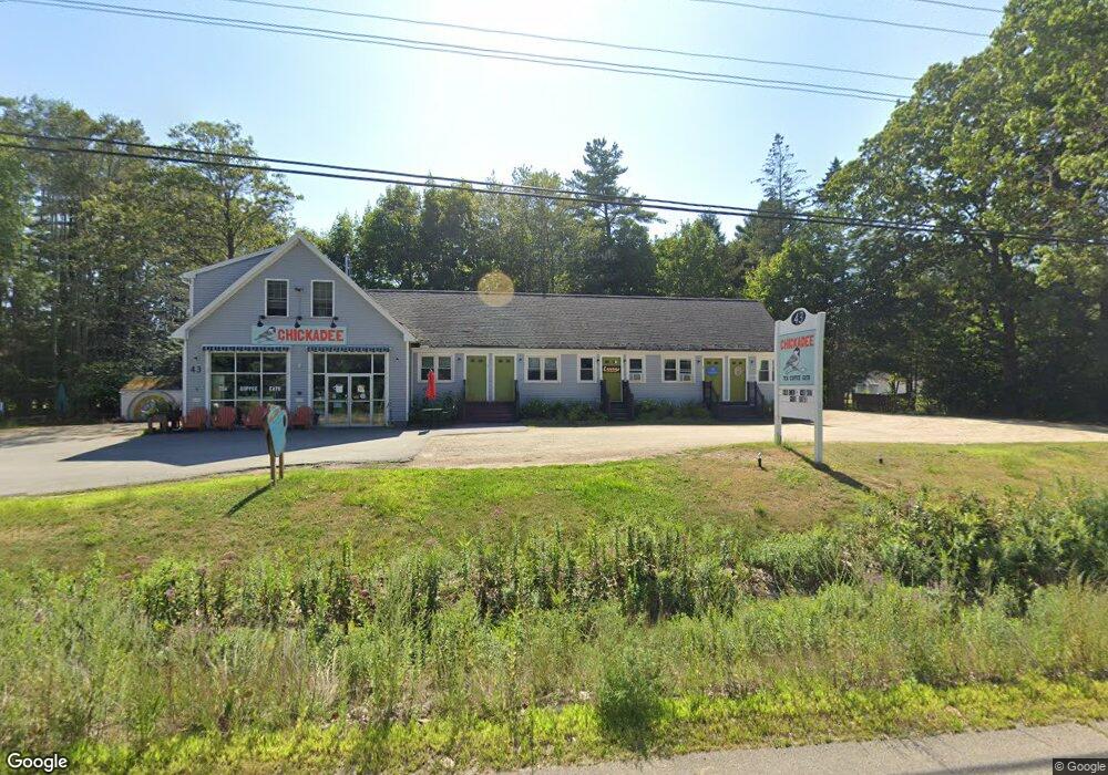
43 Harold L Dow Hwy Eliot, ME 03903
South Eliot NeighborhoodEstimated Value: $600,489
3
Beds
1
Bath
3,168
Sq Ft
$190/Sq Ft
Est. Value
About This Home
This home is located at 43 Harold L Dow Hwy, Eliot, ME 03903 and is currently estimated at $600,489, approximately $189 per square foot. 43 Harold L Dow Hwy is a home located in York County with nearby schools including Marshwood High School and Seacoast Waldorf School.
Ownership History
Date
Name
Owned For
Owner Type
Purchase Details
Closed on
Jan 21, 2020
Sold by
Amariah Properties Llc
Bought by
Blakeslee Mcelroy Llc
Current Estimated Value
Home Financials for this Owner
Home Financials are based on the most recent Mortgage that was taken out on this home.
Original Mortgage
$272,000
Outstanding Balance
$240,415
Interest Rate
3.73%
Mortgage Type
New Conventional
Estimated Equity
$360,074
Create a Home Valuation Report for This Property
The Home Valuation Report is an in-depth analysis detailing your home's value as well as a comparison with similar homes in the area
Home Values in the Area
Average Home Value in this Area
Purchase History
| Date | Buyer | Sale Price | Title Company |
|---|---|---|---|
| Blakeslee Mcelroy Llc | -- | None Available | |
| Blakeslee Mcelroy Llc | -- | None Available | |
| Blakeslee Mcelroy Llc | -- | None Available |
Source: Public Records
Mortgage History
| Date | Status | Borrower | Loan Amount |
|---|---|---|---|
| Open | Blakeslee Mcelroy Llc | $272,000 | |
| Closed | Blakeslee Mcelroy Llc | $272,000 |
Source: Public Records
Tax History Compared to Growth
Tax History
| Year | Tax Paid | Tax Assessment Tax Assessment Total Assessment is a certain percentage of the fair market value that is determined by local assessors to be the total taxable value of land and additions on the property. | Land | Improvement |
|---|---|---|---|---|
| 2024 | $5,336 | $450,300 | $194,600 | $255,700 |
| 2023 | $5,452 | $445,100 | $189,400 | $255,700 |
| 2022 | $5,386 | $445,100 | $189,400 | $255,700 |
| 2021 | $5,543 | $410,600 | $154,900 | $255,700 |
| 2020 | $5,201 | $353,800 | $133,900 | $219,900 |
| 2019 | $5,201 | $353,800 | $133,900 | $219,900 |
| 2018 | $4,323 | $353,800 | $133,900 | $219,900 |
| 2017 | $5,059 | $353,800 | $133,900 | $219,900 |
| 2016 | $4,971 | $353,800 | $133,900 | $219,900 |
| 2015 | $4,953 | $353,800 | $133,900 | $219,900 |
| 2014 | $4,882 | $353,800 | $133,900 | $219,900 |
| 2013 | $4,642 | $352,500 | $133,900 | $218,600 |
Source: Public Records
Map
Nearby Homes
- 8 Caslyn Dr
- 7 Fernald Rd
- 46 Littlebrook Ln
- 35 Leach Rd
- 850 Main St
- 956 Main St
- 493 Main St
- 197 State Rd
- 5 Spinney Way Unit 9
- 32 Regency Cir Unit 2
- 287 Goodwin Rd
- 100 Shepards Cove Rd Unit F204
- 100 Shepards Cove Rd Unit G204
- 165 Rogers Rd
- 7 Blackberry Place
- 0 Franks Fort Island Unit 1631886
- 122 Haley Rd
- 24 Regency Cir Unit 3
- 27 Oak Terrace
- 25 Oak Terrace
- 8 Sunrise St
- 4 Sunrise St
- 34 Seeley Ln
- 2 Sunrise St
- 17 Sunrise St
- 6 Sunrise St
- 3 Sunrise St
- 30 Harold L Dow Hwy
- 30 Harold Dow Hwy
- 22 Dow Hwy
- 7 Seely Ln
- 33 Seeley Ln
- 43 Pheasant Ln Unit 37
- 44 Pheasant Ln
- 417 Bolt Hill Rd
- 1 Sagamore Rd Unit 1
- Route 236 Harold Dow
- LOT 1 Route 236
- 14 Sharon Ln
- 4 Sagamore Rd Unit 4