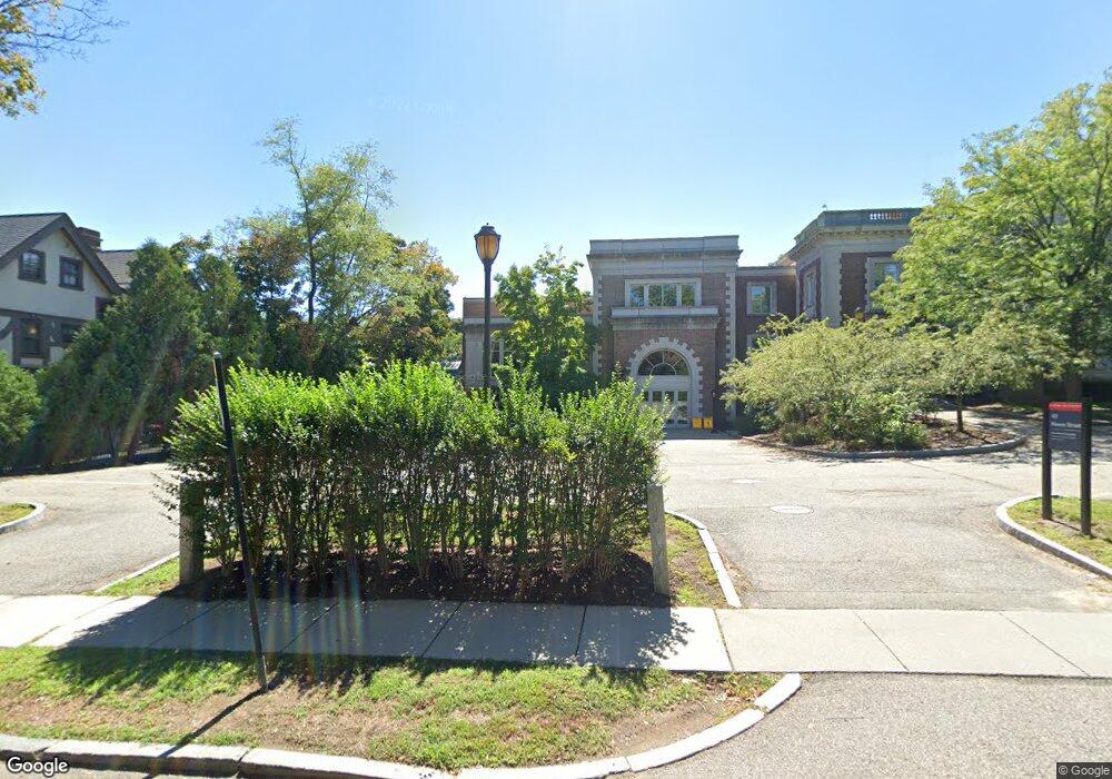
43 Hawes St Unit 4 Brookline, MA 02446
Coolidge Corner NeighborhoodEstimated Value: $23,532,972
3
Beds
2
Baths
--
Sq Ft
1.6
Acres
About This Home
This home is located at 43 Hawes St Unit 4, Brookline, MA 02446 and is currently estimated at $23,532,972. 43 Hawes St Unit 4 is a home located in Norfolk County with nearby schools including Amos A. Lawrence School, New England Hebrew Academy, and Winsor School.
Ownership History
Date
Name
Owned For
Owner Type
Purchase Details
Closed on
Dec 15, 1999
Sold by
Hebrew College
Bought by
Wheelock College
Current Estimated Value
Home Financials for this Owner
Home Financials are based on the most recent Mortgage that was taken out on this home.
Original Mortgage
$3,400,000
Outstanding Balance
$1,060,346
Interest Rate
7.81%
Mortgage Type
Purchase Money Mortgage
Estimated Equity
$22,472,626
Create a Home Valuation Report for This Property
The Home Valuation Report is an in-depth analysis detailing your home's value as well as a comparison with similar homes in the area
Home Values in the Area
Average Home Value in this Area
Purchase History
| Date | Buyer | Sale Price | Title Company |
|---|---|---|---|
| Wheelock College | $6,800,000 | -- |
Source: Public Records
Mortgage History
| Date | Status | Borrower | Loan Amount |
|---|---|---|---|
| Open | Wheelock College | $3,400,000 |
Source: Public Records
Tax History Compared to Growth
Tax History
| Year | Tax Paid | Tax Assessment Tax Assessment Total Assessment is a certain percentage of the fair market value that is determined by local assessors to be the total taxable value of land and additions on the property. | Land | Improvement |
|---|---|---|---|---|
| 2025 | -- | $15,686,900 | $8,829,100 | $6,857,800 |
| 2024 | -- | $15,519,500 | $8,489,600 | $7,029,900 |
| 2023 | $0 | $14,102,700 | $7,398,600 | $6,704,100 |
| 2022 | $0 | $13,329,700 | $7,046,000 | $6,283,700 |
| 2021 | $0 | $13,238,200 | $6,775,000 | $6,463,200 |
| 2020 | $0 | $12,819,800 | $6,159,100 | $6,660,700 |
| 2019 | $0 | $12,424,200 | $5,865,900 | $6,558,300 |
| 2018 | $0 | $11,030,400 | $5,068,100 | $5,962,300 |
| 2017 | $0 | $9,508,900 | $4,468,400 | $5,040,500 |
| 2016 | -- | $11,023,900 | $4,468,400 | $6,555,500 |
| 2015 | -- | $11,063,900 | $4,176,100 | $6,887,800 |
| 2014 | -- | $11,157,500 | $3,793,500 | $7,364,000 |
Source: Public Records
Map
Nearby Homes
- 20 Chapel St Unit APH4
- 20 Chapel St Unit B712
- 20 Chapel St Unit B811
- 132 St Mary's St
- 15 Keswick St Unit B1
- 178 Ivy St
- 180 Ivy St
- 462 Park Dr
- 116 Riverway Unit 14
- 151 Longwood Ave Unit 1
- 18 Browne St Unit 2
- 188 Brookline Ave Unit 20J
- 188 Brookline Ave Unit 29D
- 188 Brookline Ave Unit 27A/C
- 188 Brookline Ave Unit PH29A
- 188 Brookline Ave Unit 21B
- 188 Brookline Ave Unit 22E
- 188 Brookline Ave Unit 20H
- 16 Miner St Unit 501
- 15 James St Unit 2
- 40 Hawes St
- 40 Hawes St
- 40 Hawes St Unit 7
- 7 Chatham St
- 17 Hawes St
- 4 Monmouth St
- 4 Monmouth St Unit 3
- 26 Monmouth St
- 25 Colchester St
- 11 Hawes St
- 19 Colchester St
- 29 Colchester St
- 27 Colchester St
- 29 Colchester St Unit 2
- 27 Colchester St Unit 2
- 27 Colchester St Unit 1
- 29 Colchester St Unit 2,1
- 9 Hawes St
- 48 Hawes St
- 10 Beech Rd