43 Hetty Green St Unit 43 Dartmouth, MA 02748
Cow Yard/Nonquitt NeighborhoodEstimated Value: $1,108,000 - $1,907,000
3
Beds
2
Baths
1,847
Sq Ft
$744/Sq Ft
Est. Value
About This Home
This home is located at 43 Hetty Green St Unit 43, Dartmouth, MA 02748 and is currently estimated at $1,374,708, approximately $744 per square foot. 43 Hetty Green St Unit 43 is a home located in Bristol County with nearby schools including Dartmouth High School.
Ownership History
Date
Name
Owned For
Owner Type
Purchase Details
Closed on
Jan 30, 2025
Sold by
Cottage T T and Cottage Evoy
Bought by
A Steinert-Evoy Ret and Steinert-Evoy
Current Estimated Value
Purchase Details
Closed on
Feb 9, 1996
Sold by
Goodman Sally F
Bought by
Cottage T
Purchase Details
Closed on
Aug 11, 1995
Sold by
Hillman Miriam S
Bought by
Schwartz Jonathan H
Home Financials for this Owner
Home Financials are based on the most recent Mortgage that was taken out on this home.
Original Mortgage
$66,250
Interest Rate
7.48%
Mortgage Type
Purchase Money Mortgage
Create a Home Valuation Report for This Property
The Home Valuation Report is an in-depth analysis detailing your home's value as well as a comparison with similar homes in the area
Home Values in the Area
Average Home Value in this Area
Purchase History
| Date | Buyer | Sale Price | Title Company |
|---|---|---|---|
| A Steinert-Evoy Ret | -- | None Available | |
| A Steinert-Evoy Ret | -- | None Available | |
| A Steinert-Evoy Ret | -- | None Available | |
| Cottage T | $250,000 | -- | |
| Cottage T T | $250,000 | -- | |
| Schwartz Jonathan H | $66,250 | -- | |
| Schwartz Jonathan H | $165,000 | -- |
Source: Public Records
Mortgage History
| Date | Status | Borrower | Loan Amount |
|---|---|---|---|
| Previous Owner | Schwartz Jonathan H | $66,250 |
Source: Public Records
Tax History Compared to Growth
Tax History
| Year | Tax Paid | Tax Assessment Tax Assessment Total Assessment is a certain percentage of the fair market value that is determined by local assessors to be the total taxable value of land and additions on the property. | Land | Improvement |
|---|---|---|---|---|
| 2025 | $8,200 | $952,400 | $0 | $952,400 |
| 2024 | $7,584 | $872,700 | $0 | $872,700 |
| 2023 | $5,901 | $643,500 | $0 | $643,500 |
| 2022 | $5,539 | $559,500 | $0 | $559,500 |
| 2021 | $4,904 | $473,400 | $0 | $473,400 |
| 2020 | $5,335 | $514,000 | $0 | $514,000 |
| 2019 | $4,469 | $429,700 | $0 | $429,700 |
| 2018 | $4,622 | $436,800 | $0 | $436,800 |
| 2017 | $4,181 | $417,300 | $0 | $417,300 |
| 2016 | $4,799 | $472,300 | $0 | $472,300 |
| 2015 | $4,953 | $488,500 | $0 | $488,500 |
| 2014 | $4,574 | $448,000 | $0 | $448,000 |
Source: Public Records
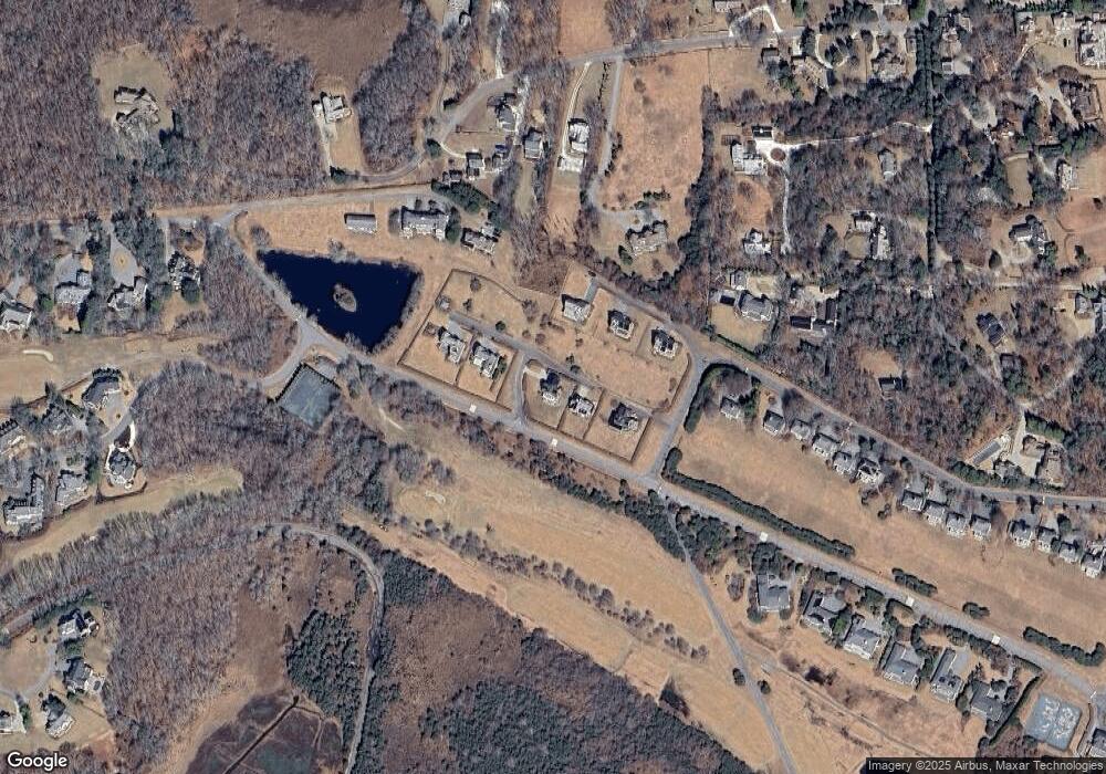
Map
Nearby Homes
- 48 N Shore Dr Unit 3&7
- 48 N Shore Dr Unit 8
- 62 Hetty Green St Unit 62
- 24 Eagle Dr
- 12 Meadow Shores Rd
- 482 Smith Neck Rd
- 158 Little River Rd
- 738 Smith Neck Rd
- 105 Rock Odundee Rd
- 24 White Alder Way
- Lot 1 Rafael Rd
- 61 Pardon Hill Rd
- 23 High St
- 40 School St
- 248 Bakerville Rd
- 0 Stoneledge Rd
- 00 Prospect St
- 76 Shipyard Ln
- 48 Wilson St
- Lot 2E Horseneck Rd
- 45 Hetty Green St
- 16 N Shore Dr
- 33 Hetty Green St Unit 33
- 32 N Shore Dr
- 32 N Shore Dr Unit 4
- 32 N Shore Dr Unit LC 4
- 31 Hetty Green St Unit 1
- 12 N Shore Dr
- 29 Hetty Green St Unit D
- 29 Hetty Green St
- 30 N Shore Dr
- 34 N Shore Dr
- 34 N Shore Dr Unit 3
- 34 N Shore Dr Unit 34
- 34 N Shore Dr Unit 1
- 21 Mattarest Ln
- 00 Hetty Green
- 48-12 N Shore Dr Unit 12
- 44 N Shore Dr
- 30 Shore St