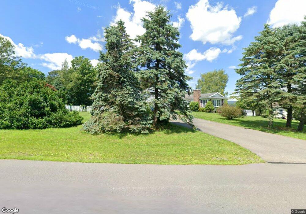
43 High Point Dr Kunkletown, PA 18058
Estimated Value: $392,254 - $598,000
4
Beds
3
Baths
2,050
Sq Ft
$233/Sq Ft
Est. Value
About This Home
This home is located at 43 High Point Dr, Kunkletown, PA 18058 and is currently estimated at $478,064, approximately $233 per square foot. 43 High Point Dr is a home located in Monroe County with nearby schools including Pleasant Valley Elementary School, Pleasant Valley Intermediate School, and Pleasant Valley Middle School.
Ownership History
Date
Name
Owned For
Owner Type
Purchase Details
Closed on
Aug 7, 2006
Sold by
Dull Frank
Bought by
Borsky John E and Borsky Margherita
Current Estimated Value
Home Financials for this Owner
Home Financials are based on the most recent Mortgage that was taken out on this home.
Original Mortgage
$117,000
Outstanding Balance
$70,702
Interest Rate
6.88%
Mortgage Type
New Conventional
Estimated Equity
$407,362
Create a Home Valuation Report for This Property
The Home Valuation Report is an in-depth analysis detailing your home's value as well as a comparison with similar homes in the area
Home Values in the Area
Average Home Value in this Area
Purchase History
| Date | Buyer | Sale Price | Title Company |
|---|---|---|---|
| Borsky John E | $265,000 | None Available |
Source: Public Records
Mortgage History
| Date | Status | Borrower | Loan Amount |
|---|---|---|---|
| Open | Borsky John E | $117,000 |
Source: Public Records
Tax History
| Year | Tax Paid | Tax Assessment Tax Assessment Total Assessment is a certain percentage of the fair market value that is determined by local assessors to be the total taxable value of land and additions on the property. | Land | Improvement |
|---|---|---|---|---|
| 2025 | $1,378 | $213,080 | $36,790 | $176,290 |
| 2024 | $980 | $213,080 | $36,790 | $176,290 |
| 2023 | $6,069 | $213,080 | $36,790 | $176,290 |
| 2022 | $5,894 | $213,080 | $36,790 | $176,290 |
| 2021 | $5,759 | $213,080 | $36,790 | $176,290 |
| 2019 | $7,640 | $43,580 | $6,260 | $37,320 |
| 2018 | $7,553 | $43,580 | $6,260 | $37,320 |
| 2017 | $7,553 | $43,580 | $6,260 | $37,320 |
| 2016 | $1,113 | $43,580 | $6,260 | $37,320 |
| 2015 | -- | $43,580 | $6,260 | $37,320 |
| 2014 | -- | $43,580 | $6,260 | $37,320 |
Source: Public Records
Map
Nearby Homes
- 118 Sterner Run Rd
- 4193 Forest Dr
- 217 Lower Valley Dr
- 208 Ash Ln
- 1116 Dr
- 0 Rd
- Lot K15 Lincoln Green Dr K15
- 687 Dotters Corner Rd
- 725 Dotters Corner Rd
- 9153 Twin Lake Dr
- 9064 Robinhood Dr
- 183 Dogwood Ln
- 9153 Robinhood Dr
- 240 Bird Ln
- 115 Gumwood Ln
- 196 Dogwood Ln
- 8676 Twin Lake Dr
- 500 Sumac Ct
- 0 Lot#2 Haney Rd
- 1 Tioga Dr
- 136 High Point Dr
- 42 High Point Dr
- 44 High Point Dr
- 142 High Point Dr
- 131 High Point Dr
- 45 High Point Dr
- 64 Frantz Rd
- 129 High Point Dr
- 34 High Point Dr
- 65 Memorial Dr
- 30 High Point Dr
- 35 High Point Dr
- 165 Memorial Dr
- 41 High Point Dr
- 119 Frantz Rd
- 123 High Point Dr
- 137 High Point Dr
- 63 Frantz Rd
- 106 Jason Ln
- 46 High Point Dr
Your Personal Tour Guide
Ask me questions while you tour the home.