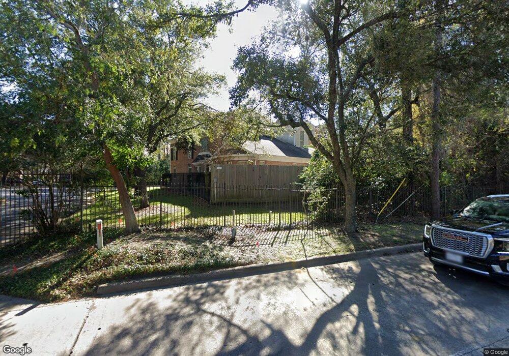
43 Hudson Cir Houston, TX 77024
Memorial NeighborhoodEstimated Value: $977,455 - $1,171,000
4
Beds
4
Baths
3,987
Sq Ft
$264/Sq Ft
Est. Value
About This Home
This home is located at 43 Hudson Cir, Houston, TX 77024 and is currently estimated at $1,053,614, approximately $264 per square foot. 43 Hudson Cir is a home located in Harris County with nearby schools including Memorial Drive Elementary School, Spring Branch Middle School, and Memorial High School.
Ownership History
Date
Name
Owned For
Owner Type
Purchase Details
Closed on
Feb 20, 2014
Sold by
Batt Nancy A
Bought by
Batt Nancy A Living Trust
Current Estimated Value
Purchase Details
Closed on
Oct 28, 1999
Sold by
Quigley Geneva L
Bought by
Batt Nancy A
Purchase Details
Closed on
Mar 21, 1994
Sold by
Promenade Homes Inc
Bought by
Quigley Geneva L
Home Financials for this Owner
Home Financials are based on the most recent Mortgage that was taken out on this home.
Original Mortgage
$380,000
Interest Rate
5.75%
Create a Home Valuation Report for This Property
The Home Valuation Report is an in-depth analysis detailing your home's value as well as a comparison with similar homes in the area
Home Values in the Area
Average Home Value in this Area
Purchase History
| Date | Buyer | Sale Price | Title Company |
|---|---|---|---|
| Batt Nancy A Living Trust | -- | -- | |
| Batt Nancy A Living Trust | -- | -- | |
| Batt Nancy A | -- | Houston Title | |
| Quigley Geneva L | -- | Regency Title |
Source: Public Records
Mortgage History
| Date | Status | Borrower | Loan Amount |
|---|---|---|---|
| Previous Owner | Quigley Geneva L | $380,000 |
Source: Public Records
Tax History Compared to Growth
Tax History
| Year | Tax Paid | Tax Assessment Tax Assessment Total Assessment is a certain percentage of the fair market value that is determined by local assessors to be the total taxable value of land and additions on the property. | Land | Improvement |
|---|---|---|---|---|
| 2025 | $6,089 | $852,326 | $270,192 | $582,134 |
| 2024 | $6,089 | $774,848 | $270,192 | $504,656 |
| 2023 | $6,089 | $807,586 | $270,192 | $537,394 |
| 2022 | $18,496 | $841,236 | $270,192 | $571,044 |
| 2021 | $17,559 | $719,214 | $270,192 | $449,022 |
| 2020 | $18,246 | $728,204 | $270,192 | $458,012 |
| 2019 | $18,042 | $689,143 | $270,192 | $418,951 |
| 2018 | $4,788 | $689,143 | $270,192 | $418,951 |
| 2017 | $19,490 | $745,000 | $270,192 | $474,808 |
| 2016 | $19,660 | $751,500 | $270,192 | $481,308 |
| 2015 | $10,301 | $785,000 | $270,192 | $514,808 |
| 2014 | $10,301 | $642,243 | $270,192 | $372,051 |
Source: Public Records
Map
Nearby Homes
- 251 Sugarberry Cir
- 9171 Briar Forest Dr
- 9109 Briar Forest Dr
- 9400 Doliver Dr Unit 70
- 9400 Doliver Dr Unit 12
- 9400 Doliver Dr Unit 36
- 9400 Doliver Dr Unit 56
- 22 Sugarberry Cir
- 148 Sugarberry Cir
- 14 1/2 W Shady Ln
- 2003 Arrowwood Cir N
- 9518 Bayou Brook St
- 31 Knipp Rd
- 45 Patti Lynn Ln
- 11711 Memorial Dr Unit 570
- 11711 Memorial Dr Unit 55
- 11711 Memorial Dr Unit 21
- 11711 Memorial Dr Unit 565
- 11711 Memorial Dr Unit 695
- 11711 Memorial Dr Unit 644
- 39 Hudson Cir
- 35 Hudson Cir
- 9015 Briar Forest Dr
- 9017 Briar Forest Dr
- 9013 Briar Forest Dr
- 9019 Briar Forest Dr
- 26 Hudson Cir
- 9021 Briar Forest Dr
- 31 Hudson Cir
- 9023 Briar Forest Dr
- 22 Hudson Cir
- 9203 Hudson Ct
- 9207 Hudson Ct
- 9011 Briar Forest Dr
- 9107 Hudson Ct
- 9027 Briar Forest Dr
- 9009 Briar Forest Dr
- 18 Hudson Cir
- 23 Hudson Cir
- 9007 Briar Forest Dr