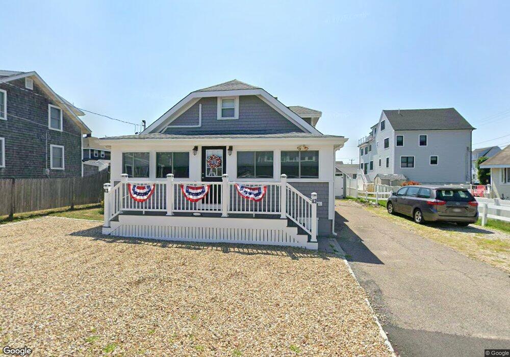
43 Kearsarge Rd Marshfield, MA 02050
Ocean Bluff-Brant Rock NeighborhoodEstimated Value: $661,438 - $760,000
4
Beds
2
Baths
1,193
Sq Ft
$608/Sq Ft
Est. Value
About This Home
This home is located at 43 Kearsarge Rd, Marshfield, MA 02050 and is currently estimated at $724,860, approximately $607 per square foot. 43 Kearsarge Rd is a home located in Plymouth County with nearby schools including Daniel Webster, Furnace Brook Middle School, and Marshfield High School.
Create a Home Valuation Report for This Property
The Home Valuation Report is an in-depth analysis detailing your home's value as well as a comparison with similar homes in the area
Home Values in the Area
Average Home Value in this Area
Tax History
| Year | Tax Paid | Tax Assessment Tax Assessment Total Assessment is a certain percentage of the fair market value that is determined by local assessors to be the total taxable value of land and additions on the property. | Land | Improvement |
|---|---|---|---|---|
| 2025 | $5,430 | $548,500 | $377,000 | $171,500 |
| 2024 | $5,386 | $518,400 | $357,200 | $161,200 |
| 2023 | $4,803 | $441,900 | $309,600 | $132,300 |
| 2022 | $4,803 | $370,900 | $248,100 | $122,800 |
| 2021 | $4,739 | $359,300 | $248,100 | $111,200 |
| 2020 | $4,711 | $353,400 | $248,100 | $105,300 |
| 2019 | $4,651 | $347,600 | $248,100 | $99,500 |
| 2018 | $4,020 | $300,700 | $208,400 | $92,300 |
| 2017 | $3,917 | $285,500 | $208,400 | $77,100 |
| 2016 | $3,963 | $285,500 | $208,400 | $77,100 |
| 2015 | $3,604 | $271,200 | $198,400 | $72,800 |
| 2014 | $3,727 | $280,400 | $208,400 | $72,000 |
Source: Public Records
Map
Nearby Homes
- 85 Constitution Rd
- 155 Quincy Ave
- 32 Gratto Rd
- 122 June St
- 78 Tower Ave
- 30 Chandler Dr
- 17 Dyke Rd
- 42 Carr Rd
- 7 Pierce Rd
- 1192 S River St
- 255 Ridge Rd
- 106 Careswell St
- 116 Island St
- 92 Salt Meadow Waye
- 86 Telegraph Hill Rd
- 39 High Beacon Way
- 16 Schooner Way
- 29 Spyglass Landing Dr
- 290 S River St
- 566 Holly Rd
Your Personal Tour Guide
Ask me questions while you tour the home.