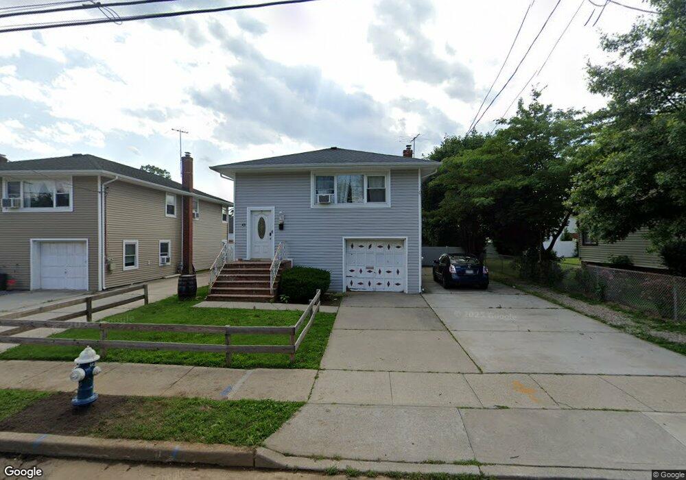
43 Kernochan Ave Hempstead, NY 11550
Estimated Value: $551,000 - $612,742
--
Bed
2
Baths
1,125
Sq Ft
$517/Sq Ft
Est. Value
About This Home
This home is located at 43 Kernochan Ave, Hempstead, NY 11550 and is currently estimated at $581,871, approximately $517 per square foot. 43 Kernochan Ave is a home located in Nassau County with nearby schools including St Martin De Porres Marianist School and Hebrew Academy of Nassau County Middle School and Brookdale High School.
Ownership History
Date
Name
Owned For
Owner Type
Purchase Details
Closed on
Jul 10, 2017
Sold by
Pytharoulis Maria and Last Will And Testament Of Ray
Bought by
Kernochan Avenue Properties Llc
Current Estimated Value
Home Financials for this Owner
Home Financials are based on the most recent Mortgage that was taken out on this home.
Original Mortgage
$480,000
Interest Rate
3.89%
Mortgage Type
Purchase Money Mortgage
Create a Home Valuation Report for This Property
The Home Valuation Report is an in-depth analysis detailing your home's value as well as a comparison with similar homes in the area
Home Values in the Area
Average Home Value in this Area
Purchase History
| Date | Buyer | Sale Price | Title Company |
|---|---|---|---|
| Kernochan Avenue Properties Llc | $300,000 | Judicial Title |
Source: Public Records
Mortgage History
| Date | Status | Borrower | Loan Amount |
|---|---|---|---|
| Closed | Kernochan Avenue Properties Llc | $480,000 |
Source: Public Records
Tax History Compared to Growth
Tax History
| Year | Tax Paid | Tax Assessment Tax Assessment Total Assessment is a certain percentage of the fair market value that is determined by local assessors to be the total taxable value of land and additions on the property. | Land | Improvement |
|---|---|---|---|---|
| 2025 | $6,822 | $392 | $130 | $262 |
| 2024 | $956 | $385 | $127 | $258 |
| 2023 | $5,561 | $399 | $132 | $267 |
| 2022 | $5,561 | $399 | $132 | $267 |
| 2021 | $7,404 | $387 | $128 | $259 |
| 2020 | $8,087 | $374 | $319 | $55 |
| 2019 | $804 | $374 | $299 | $75 |
| 2018 | $3,352 | $399 | $0 | $0 |
| 2017 | $1,124 | $424 | $301 | $123 |
| 2016 | $1,787 | $449 | $287 | $162 |
| 2015 | $609 | $474 | $303 | $171 |
| 2014 | $609 | $474 | $303 | $171 |
| 2013 | $586 | $499 | $319 | $180 |
Source: Public Records
Map
Nearby Homes
- 50 Cameron Ave
- 28 Cornwall Ln
- 23 Elizabeth Ct
- 27 Elizabeth Ct
- 112 Meadowbrook Rd
- 749 Front St
- 64 Fairview Blvd
- 18 Perry St
- 132 Duncan Rd
- 119 Broadfield Rd
- 65 Surrey Ln
- 66 Warner Ave
- 41 Perry St
- 28 Dakota Place
- 109 Leverich St
- 136 Fairview Blvd
- 59 Ingraham Blvd
- 155 Fairview Blvd
- 72 Ingraham Blvd
- 93 Vermont Ave
- 47 Kernochan Ave
- 35 Kernochan Ave
- 51 Kernochan Ave
- 34 Cameron Ave
- 40 Cameron Ave
- 40 Cameron Ave
- 31 Kernochan Ave
- 30 Cameron Ave
- 55 Kernochan Ave
- 46 Cameron Ave
- 26 Cameron Ave
- 27 Kernochan Ave
- 40 Kernochan Ave
- 44 Kernochan Ave
- 59 Kernochan Ave
- 36 Kernochan Ave
- 50 Kernochan Ave
- 22 Cameron Ave
- 34 Kernochan Ave
- 54 Kernochan Ave