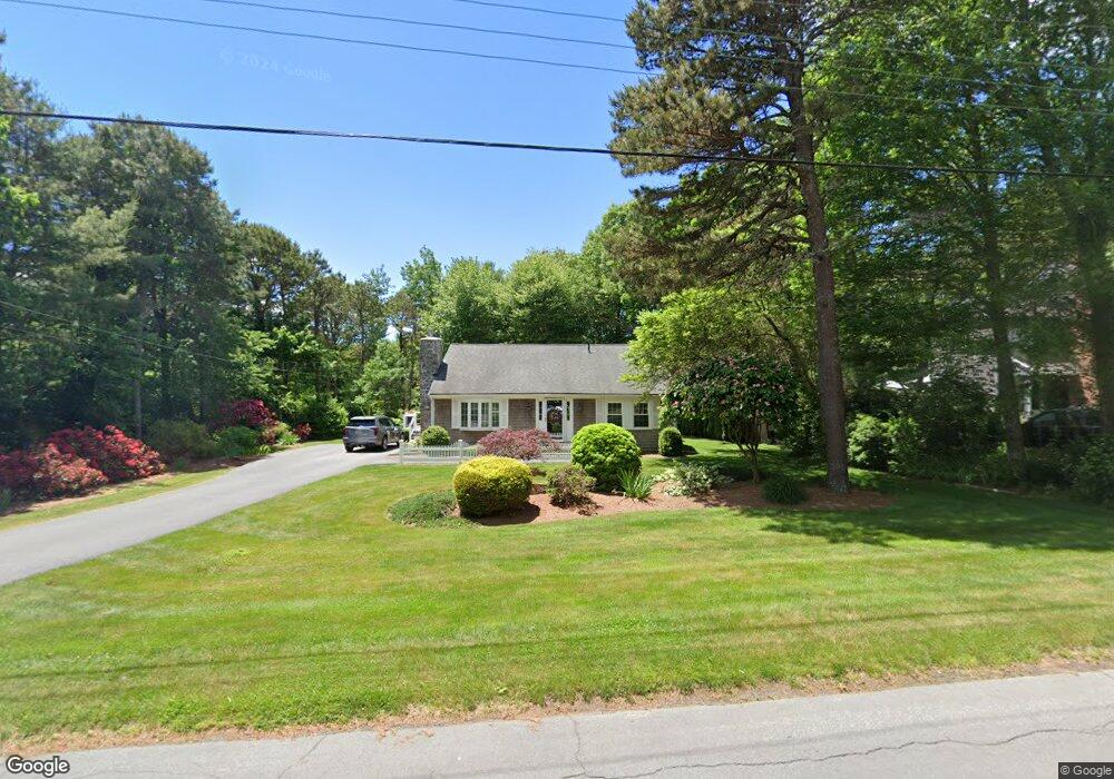
43 Kiahs Way East Sandwich, MA 02537
Estimated Value: $593,364 - $695,000
2
Beds
2
Baths
1,943
Sq Ft
$328/Sq Ft
Est. Value
About This Home
This home is located at 43 Kiahs Way, East Sandwich, MA 02537 and is currently estimated at $637,841, approximately $328 per square foot. 43 Kiahs Way is a home located in Barnstable County with nearby schools including Sandwich Middle High School, Sandwich Montessori School, and Riverview School.
Ownership History
Date
Name
Owned For
Owner Type
Purchase Details
Closed on
Dec 28, 2016
Sold by
T John
Bought by
Sullivan John R and Sullivan Mary F
Current Estimated Value
Home Financials for this Owner
Home Financials are based on the most recent Mortgage that was taken out on this home.
Original Mortgage
$240,000
Outstanding Balance
$196,758
Interest Rate
3.94%
Mortgage Type
New Conventional
Estimated Equity
$441,083
Purchase Details
Closed on
Sep 17, 2013
Sold by
Sullivan John R and Sullivan Mary F
Bought by
T John and John Mary Sullivan
Purchase Details
Closed on
Oct 26, 1983
Bought by
Mary John and Mary Sullivan T
Create a Home Valuation Report for This Property
The Home Valuation Report is an in-depth analysis detailing your home's value as well as a comparison with similar homes in the area
Home Values in the Area
Average Home Value in this Area
Purchase History
| Date | Buyer | Sale Price | Title Company |
|---|---|---|---|
| Sullivan John R | -- | -- | |
| T John | -- | -- | |
| Mary John | -- | -- |
Source: Public Records
Mortgage History
| Date | Status | Borrower | Loan Amount |
|---|---|---|---|
| Open | Sullivan John R | $240,000 | |
| Previous Owner | Mary John | $100,000 | |
| Previous Owner | Mary John | $112,000 | |
| Previous Owner | Mary John | $70,000 | |
| Previous Owner | Mary John | $70,000 |
Source: Public Records
Tax History Compared to Growth
Tax History
| Year | Tax Paid | Tax Assessment Tax Assessment Total Assessment is a certain percentage of the fair market value that is determined by local assessors to be the total taxable value of land and additions on the property. | Land | Improvement |
|---|---|---|---|---|
| 2025 | $4,882 | $461,900 | $154,400 | $307,500 |
| 2024 | $4,653 | $430,800 | $137,800 | $293,000 |
| 2023 | $4,551 | $395,700 | $125,300 | $270,400 |
| 2022 | $4,343 | $330,000 | $111,900 | $218,100 |
| 2021 | $4,156 | $301,800 | $107,600 | $194,200 |
| 2020 | $4,101 | $286,600 | $105,100 | $181,500 |
| 2019 | $3,906 | $272,800 | $103,100 | $169,700 |
| 2018 | $3,678 | $257,400 | $99,600 | $157,800 |
| 2017 | $3,641 | $243,900 | $96,400 | $147,500 |
| 2016 | $3,367 | $232,700 | $95,400 | $137,300 |
| 2015 | $3,272 | $220,800 | $85,900 | $134,900 |
Source: Public Records
Map
Nearby Homes
- 77 Kiahs Way
- 186 Quaker Meeting House Rd
- 17 Kensington Dr
- 9 Crestview Drive Extension
- 2 Marie Ln
- 21 Manor Dr
- 376 Route 6a Unit 17
- 7 Highfield Dr
- 58 Southpoint Dr Unit J
- 20 Crestview Dr
- 36 Atkins Rd Unit D2
- 363 Service Rd
- 59 Southpoint Dr Unit 59
- 5 Whiffletree Cir
- 49 Atkins Rd
- 49 Atkins Rd
- 5 Aviators Ln
- 15 Surrey Ln
- 390 Massachusetts 6a
- 420 Massachusetts 6a