43 Leonard Rd Boxborough, MA 01719
Estimated Value: $210,241 - $276,000
1
Bed
1
Bath
642
Sq Ft
$368/Sq Ft
Est. Value
About This Home
This home is located at 43 Leonard Rd, Boxborough, MA 01719 and is currently estimated at $236,060, approximately $367 per square foot. 43 Leonard Rd is a home located in Middlesex County with nearby schools including Acton-Boxborough Regional High School.
Ownership History
Date
Name
Owned For
Owner Type
Purchase Details
Closed on
Nov 6, 1996
Sold by
Kearney Caryn Land
Bought by
Kero Lisa M
Current Estimated Value
Home Financials for this Owner
Home Financials are based on the most recent Mortgage that was taken out on this home.
Original Mortgage
$39,375
Interest Rate
8.1%
Mortgage Type
Purchase Money Mortgage
Create a Home Valuation Report for This Property
The Home Valuation Report is an in-depth analysis detailing your home's value as well as a comparison with similar homes in the area
Home Values in the Area
Average Home Value in this Area
Purchase History
| Date | Buyer | Sale Price | Title Company |
|---|---|---|---|
| Kero Lisa M | $52,500 | -- |
Source: Public Records
Mortgage History
| Date | Status | Borrower | Loan Amount |
|---|---|---|---|
| Open | Kero Lisa M | $36,600 | |
| Closed | Kero Lisa M | $39,375 | |
| Previous Owner | Kero Lisa M | $15,000 |
Source: Public Records
Tax History Compared to Growth
Tax History
| Year | Tax Paid | Tax Assessment Tax Assessment Total Assessment is a certain percentage of the fair market value that is determined by local assessors to be the total taxable value of land and additions on the property. | Land | Improvement |
|---|---|---|---|---|
| 2025 | $3,019 | $199,400 | $0 | $199,400 |
| 2024 | $2,548 | $170,000 | $0 | $170,000 |
| 2023 | $2,229 | $143,600 | $0 | $143,600 |
| 2022 | $2,139 | $122,800 | $0 | $122,800 |
| 2020 | $1,975 | $118,100 | $0 | $118,100 |
| 2019 | $1,471 | $89,600 | $0 | $89,600 |
| 2018 | $1,422 | $86,500 | $0 | $86,500 |
| 2017 | $1,550 | $92,200 | $0 | $92,200 |
| 2016 | $1,503 | $91,900 | $0 | $91,900 |
| 2015 | $1,339 | $80,400 | $0 | $80,400 |
| 2014 | $1,339 | $75,700 | $0 | $75,700 |
Source: Public Records
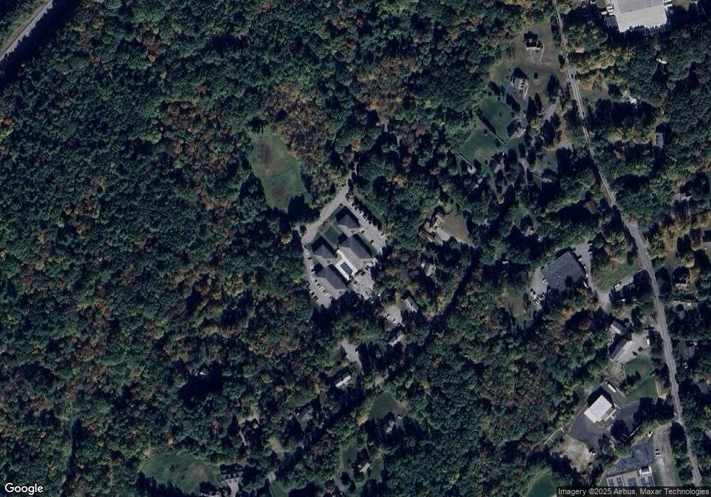
Map
Nearby Homes
- 63 Leonard Rd Unit 63
- 62 Waite Rd
- Lot 2 Strawberry Farm
- 89 School House Ln
- 139 Picnic St
- 221 Foster St
- 777 Depot Rd
- 150 Whitcomb Ave
- 332 Old Littleton Rd
- 58 Spencer Rd Unit 18K
- 50 Spencer Rd Unit 36
- 42 Swanson Ct Unit 14A
- 53 Swanson Ct Unit 36C
- 18 Pleasant St
- 3 Taylor St
- 305 Harwood Ave
- 220 Swanson Rd Unit 605
- 220 Swanson Rd Unit 606
- 176 Swanson Rd Unit 309
- 1155 Burroughs Rd
- 7 Leonard Rd Unit Bldg 1
- 1 Leonard Rd Unit 7
- 3 Leonard Rd Unit 63
- 79 Leonard Rd
- 77 Leonard Rd
- 75 Leonard Rd
- 73 Leonard Rd
- 71 Leonard Rd
- 69 Leonard Rd
- 67 Leonard Rd
- 65 Leonard Rd
- 63 Leonard Rd
- 61 Leonard Rd
- 59 Leonard Rd
- 57 Leonard Rd
- 55 Leonard Rd
- 53 Leonard Rd
- 51 Leonard Rd
- 47 Leonard Rd
- 45 Leonard Rd