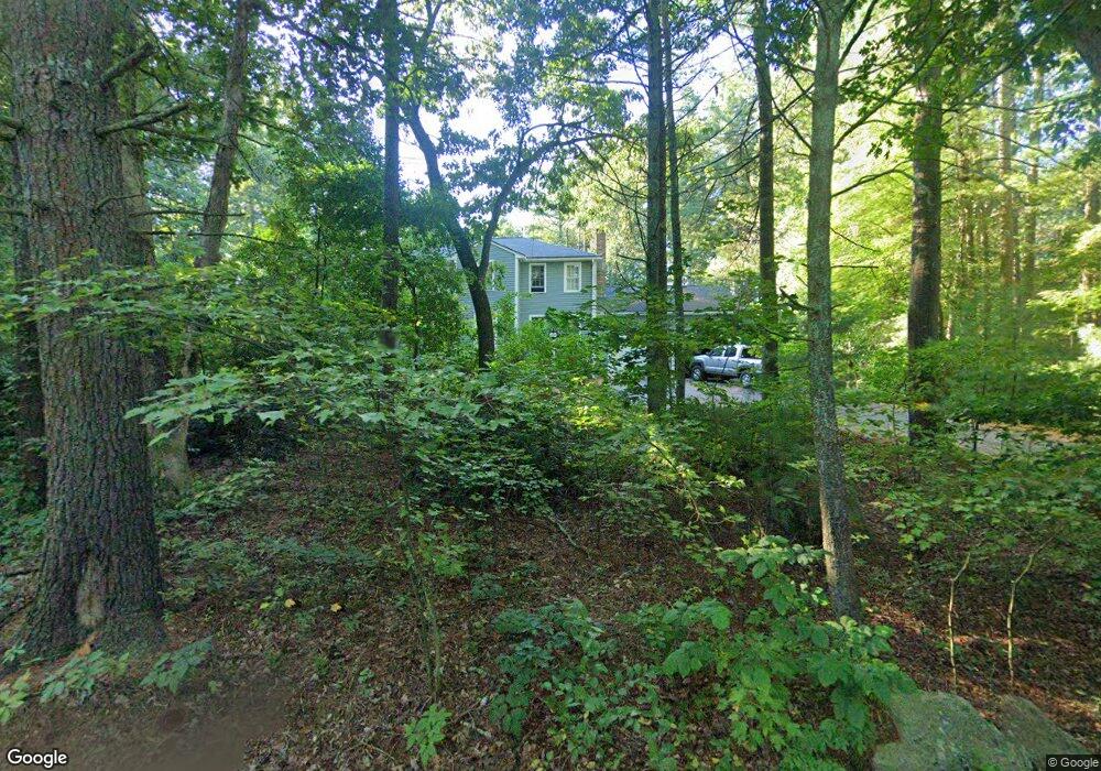
43 Maple St Norfolk, MA 02056
Estimated Value: $865,793 - $962,000
4
Beds
3
Baths
2,460
Sq Ft
$372/Sq Ft
Est. Value
About This Home
This home is located at 43 Maple St, Norfolk, MA 02056 and is currently estimated at $914,198, approximately $371 per square foot. 43 Maple St is a home located in Norfolk County with nearby schools including H. Olive Day School, Freeman-Kennedy School, and Woodside Montessori Academy.
Ownership History
Date
Name
Owned For
Owner Type
Purchase Details
Closed on
Apr 13, 2019
Sold by
Taylor James E and Taylor Marian D
Bought by
Taylor Ft
Current Estimated Value
Purchase Details
Closed on
Jun 18, 1998
Sold by
Maletta Mario J and Maletta Branda H
Bought by
Taylor James E
Home Financials for this Owner
Home Financials are based on the most recent Mortgage that was taken out on this home.
Original Mortgage
$227,000
Interest Rate
7.09%
Mortgage Type
Purchase Money Mortgage
Purchase Details
Closed on
Jan 6, 1988
Sold by
Cheung Raymond
Bought by
Maletta Mario J
Create a Home Valuation Report for This Property
The Home Valuation Report is an in-depth analysis detailing your home's value as well as a comparison with similar homes in the area
Home Values in the Area
Average Home Value in this Area
Purchase History
| Date | Buyer | Sale Price | Title Company |
|---|---|---|---|
| Taylor Ft | -- | -- | |
| Taylor James E | $284,500 | -- | |
| Maletta Mario J | $239,000 | -- |
Source: Public Records
Mortgage History
| Date | Status | Borrower | Loan Amount |
|---|---|---|---|
| Previous Owner | Maletta Mario J | $181,000 | |
| Previous Owner | Maletta Mario J | $227,000 | |
| Previous Owner | Maletta Mario J | $185,000 | |
| Previous Owner | Maletta Mario J | $186,000 |
Source: Public Records
Tax History Compared to Growth
Tax History
| Year | Tax Paid | Tax Assessment Tax Assessment Total Assessment is a certain percentage of the fair market value that is determined by local assessors to be the total taxable value of land and additions on the property. | Land | Improvement |
|---|---|---|---|---|
| 2025 | $12,267 | $768,100 | $242,200 | $525,900 |
| 2024 | $11,569 | $743,000 | $242,200 | $500,800 |
| 2023 | $11,111 | $677,100 | $242,200 | $434,900 |
| 2022 | $10,474 | $575,500 | $226,800 | $348,700 |
| 2021 | $10,013 | $556,600 | $220,200 | $336,400 |
| 2020 | $10,056 | $539,500 | $200,300 | $339,200 |
| 2019 | $9,685 | $529,500 | $200,300 | $329,200 |
| 2018 | $9,303 | $499,600 | $200,300 | $299,300 |
| 2017 | $9,170 | $503,300 | $200,300 | $303,000 |
| 2016 | $9,139 | $505,500 | $208,000 | $297,500 |
| 2015 | $8,772 | $496,700 | $195,400 | $301,300 |
| 2014 | $8,598 | $493,300 | $195,400 | $297,900 |
Source: Public Records
Map
Nearby Homes
- 45 Joshua Rd
- 14 Essex St
- 20 Waites Crossing
- 13 Waites Crossing
- 19 Waites Crossing
- 9 Waites Crossing
- 8 Waites Crossing
- 11 Waites Crossing
- 32 Waites Crossing
- 14 Robin Rd
- 50 Reed Fulton Ave Unit Lot 61
- 8 Analore Cir
- 12 Waites Crossing Way
- 23 Fredrickson Rd
- 26 Ridge Rd
- 246 Forest Grove Ave
- 38 Robin Rd
- 3 Pheasanthill Rd
- 6 Forest Grove Ave
- 48 Mirror Lake Ave