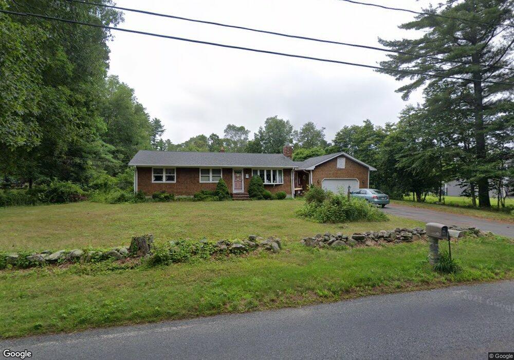
43 Mattapoisett Rd Acushnet, MA 02743
Estimated Value: $510,826 - $552,000
--
Bed
2
Baths
2,150
Sq Ft
$249/Sq Ft
Est. Value
About This Home
This home is located at 43 Mattapoisett Rd, Acushnet, MA 02743 and is currently estimated at $534,957, approximately $248 per square foot. 43 Mattapoisett Rd is a home located in Bristol County with nearby schools including Acushnet Elementary School, Albert F Ford Middle School, and Alma Del Mar Charter School.
Create a Home Valuation Report for This Property
The Home Valuation Report is an in-depth analysis detailing your home's value as well as a comparison with similar homes in the area
Home Values in the Area
Average Home Value in this Area
Tax History Compared to Growth
Tax History
| Year | Tax Paid | Tax Assessment Tax Assessment Total Assessment is a certain percentage of the fair market value that is determined by local assessors to be the total taxable value of land and additions on the property. | Land | Improvement |
|---|---|---|---|---|
| 2025 | $42 | $391,600 | $125,200 | $266,400 |
| 2024 | $4,110 | $360,200 | $118,400 | $241,800 |
| 2023 | $3,938 | $328,200 | $102,500 | $225,700 |
| 2022 | $3,946 | $297,400 | $97,900 | $199,500 |
| 2021 | $2,918 | $275,400 | $97,900 | $177,500 |
| 2020 | $3,669 | $275,400 | $97,900 | $177,500 |
| 2019 | $78 | $267,600 | $100,200 | $167,400 |
| 2018 | $3,681 | $255,300 | $100,200 | $155,100 |
| 2017 | $3,581 | $248,000 | $100,200 | $147,800 |
| 2016 | $3,445 | $237,100 | $93,400 | $143,700 |
| 2015 | $3,273 | $229,200 | $93,400 | $135,800 |
Source: Public Records
Map
Nearby Homes
- 41 Mattapoisett Rd
- 45 Mattapoisett Rd
- 45 Mattapoisett Rd
- 40 Mattapoisett Rd
- 37 Mattapoisett Rd
- 47 Mattapoisett Rd
- 38 Mattapoisett Rd
- 55 Mattapoisett Rd
- 54 Mattapoisett Rd
- 36 Mattapoisett Rd
- 35 Mattapoisett Rd
- 60 Mattapoisett Rd
- 34 Mattapoisett Rd
- 2 Dotys Mill Rd
- 24 Holly Ave
- 63 Mattapoisett Rd
- 10 Andys Ct
- 66 Mattapoisett Rd
- 32 Mattapoisett Rd
- 4 Dotys Mill Rd