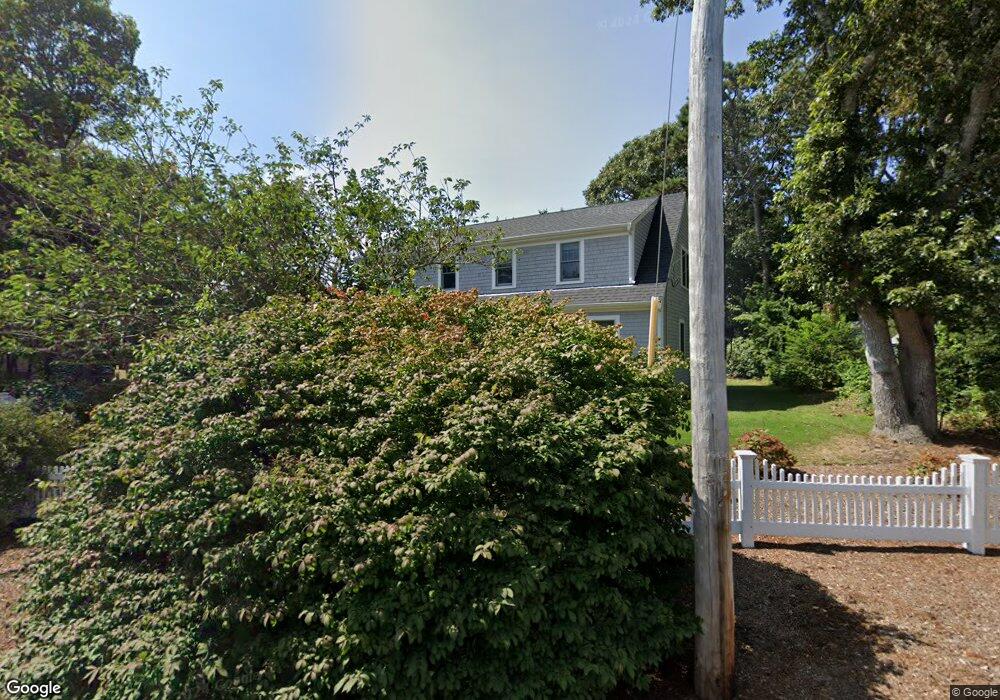
43 Michaels Ave Dennis Port, MA 02639
Dennis Port NeighborhoodEstimated Value: $657,000 - $1,314,000
3
Beds
2
Baths
1,420
Sq Ft
$639/Sq Ft
Est. Value
About This Home
This home is located at 43 Michaels Ave, Dennis Port, MA 02639 and is currently estimated at $907,483, approximately $639 per square foot. 43 Michaels Ave is a home located in Barnstable County with nearby schools including Dennis-Yarmouth Regional High School.
Ownership History
Date
Name
Owned For
Owner Type
Purchase Details
Closed on
Mar 27, 2006
Sold by
Rayment Dolores M and Rayment Paul J
Bought by
Macneill Deirdre B and Macneill James F
Current Estimated Value
Home Financials for this Owner
Home Financials are based on the most recent Mortgage that was taken out on this home.
Original Mortgage
$300,000
Outstanding Balance
$171,602
Interest Rate
6.28%
Mortgage Type
Purchase Money Mortgage
Estimated Equity
$735,881
Purchase Details
Closed on
Sep 18, 1989
Sold by
Pries William T
Bought by
Rayment Paul J
Create a Home Valuation Report for This Property
The Home Valuation Report is an in-depth analysis detailing your home's value as well as a comparison with similar homes in the area
Home Values in the Area
Average Home Value in this Area
Purchase History
| Date | Buyer | Sale Price | Title Company |
|---|---|---|---|
| Macneill Deirdre B | $380,000 | -- | |
| Rayment Paul J | $152,000 | -- |
Source: Public Records
Mortgage History
| Date | Status | Borrower | Loan Amount |
|---|---|---|---|
| Open | Macneill Deirdre B | $300,000 | |
| Previous Owner | Rayment Paul J | $180,000 | |
| Previous Owner | Rayment Paul J | $81,000 | |
| Previous Owner | Rayment Paul J | $91,100 | |
| Previous Owner | Rayment Paul J | $96,500 |
Source: Public Records
Tax History Compared to Growth
Tax History
| Year | Tax Paid | Tax Assessment Tax Assessment Total Assessment is a certain percentage of the fair market value that is determined by local assessors to be the total taxable value of land and additions on the property. | Land | Improvement |
|---|---|---|---|---|
| 2025 | $3,738 | $863,200 | $210,900 | $652,300 |
| 2024 | $3,608 | $821,800 | $202,800 | $619,000 |
| 2023 | $3,424 | $733,100 | $184,400 | $548,700 |
| 2022 | $2,520 | $450,000 | $166,100 | $283,900 |
| 2021 | $2,672 | $443,200 | $186,100 | $257,100 |
| 2020 | $2,416 | $396,100 | $162,800 | $233,300 |
| 2019 | $2,266 | $367,300 | $159,600 | $207,700 |
| 2018 | $2,177 | $343,300 | $152,000 | $191,300 |
| 2017 | $2,007 | $326,400 | $141,100 | $185,300 |
| 2016 | $2,026 | $310,300 | $152,000 | $158,300 |
| 2015 | $1,986 | $310,300 | $152,000 | $158,300 |
| 2014 | $1,833 | $288,600 | $130,300 | $158,300 |
Source: Public Records
Map
Nearby Homes
- 80 Michaels Ave
- 19 Standish Way
- 12 Spoonbill Rd
- 71 Main St
- 4 Coffey Ln
- 31 Easy St
- 125 Main St Unit 3
- 22 Wixon Rd
- 15 Woodside Park Rd
- 72 Bassett Ln
- 37 Ocean Dr Unit 2
- 61 Trotters Ln
- 268 Main St
- 26 Center St
- 95 Center St
- 64 Beaten Rd
- 112 Old Wharf Rd Unit E4
- 112 Old Wharf Rd Unit E1
- 3 Pinefield Ln
- 154 Old Wharf Rd Unit 26