43 N 470 W American Fork, UT 84003
Estimated Value: $363,976
--
Bed
--
Bath
1,920
Sq Ft
$190/Sq Ft
Est. Value
About This Home
This home is located at 43 N 470 W, American Fork, UT 84003 and is currently priced at $363,976, approximately $189 per square foot. 43 N 470 W is a home located in Utah County with nearby schools including American Fork Junior High School, American Fork High School, and Athenian eAcademy.
Ownership History
Date
Name
Owned For
Owner Type
Purchase Details
Closed on
Apr 1, 2014
Sold by
Barney Ventures Llc
Bought by
Almosta Venture Llc
Current Estimated Value
Home Financials for this Owner
Home Financials are based on the most recent Mortgage that was taken out on this home.
Original Mortgage
$96,040
Outstanding Balance
$72,898
Interest Rate
4.3%
Mortgage Type
Commercial
Purchase Details
Closed on
Jan 19, 2006
Sold by
Barney Charles L and Barney Ranee A
Bought by
Barney Ventures Llc
Purchase Details
Closed on
Jan 17, 1996
Sold by
Gillen Steve F and Gillen Betty Jo
Bought by
Gillen Investments Llc
Create a Home Valuation Report for This Property
The Home Valuation Report is an in-depth analysis detailing your home's value as well as a comparison with similar homes in the area
Home Values in the Area
Average Home Value in this Area
Purchase History
| Date | Buyer | Sale Price | Title Company |
|---|---|---|---|
| Almosta Venture Llc | -- | United West Title | |
| Barney Ventures Llc | -- | Old Republic Title Company | |
| Gillen Investments Llc | -- | -- | |
| Gillen Steve F | -- | -- |
Source: Public Records
Mortgage History
| Date | Status | Borrower | Loan Amount |
|---|---|---|---|
| Open | Almosta Venture Llc | $96,040 |
Source: Public Records
Tax History Compared to Growth
Tax History
| Year | Tax Paid | Tax Assessment Tax Assessment Total Assessment is a certain percentage of the fair market value that is determined by local assessors to be the total taxable value of land and additions on the property. | Land | Improvement |
|---|---|---|---|---|
| 2025 | $3,029 | $353,400 | $70,100 | $283,300 |
| 2024 | $2,698 | $336,600 | $0 | $0 |
| 2023 | $2,698 | $317,800 | $0 | $0 |
| 2022 | $2,725 | $316,800 | $68,600 | $248,200 |
| 2021 | $2,115 | $211,200 | $68,600 | $142,600 |
| 2020 | $2,180 | $211,200 | $68,600 | $142,600 |
| 2019 | $2,108 | $211,200 | $68,600 | $142,600 |
| 2018 | $2,205 | $211,200 | $68,600 | $142,600 |
| 2017 | $1,941 | $182,400 | $0 | $0 |
| 2016 | $2,089 | $182,400 | $0 | $0 |
| 2015 | $2,201 | $182,400 | $0 | $0 |
| 2014 | $2,231 | $182,400 | $0 | $0 |
Source: Public Records
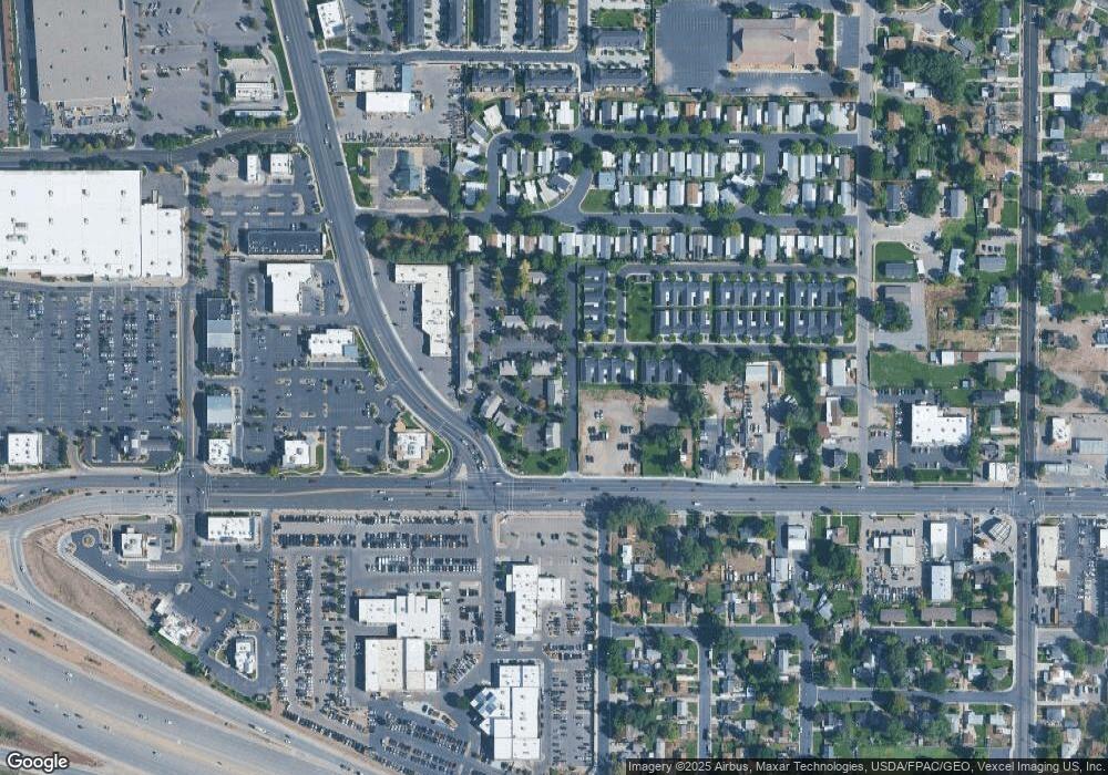
Map
Nearby Homes
- 217 W Main St
- 120 N 350 W Unit 133
- 120 N 350 W Unit 130
- 55 Roosevelt Ave
- 82 S Lincoln Ave
- 399 W Pacific Dr
- 351 Washington Ave
- 370 W Pacific Dr Unit 1
- 356 N 480 W
- 55 S 200 W
- 129 W Pacific Dr
- 271 S Barratt Cir
- 105 N 100 W
- 382 W 330 S
- 304 S 680 W
- 391 W 370 S
- 334 S 680 W
- 365 W 370 S
- 326 S 650 W
- 365 N 100 W