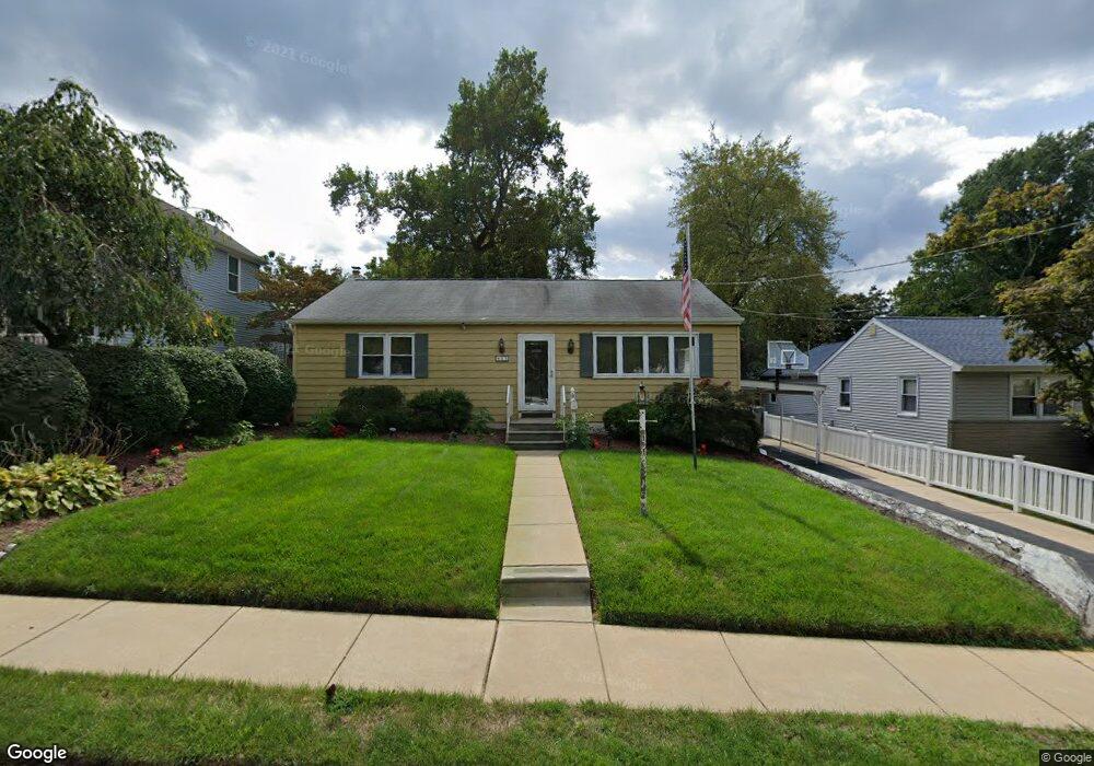
43 N Rowand Ave Runnemede, NJ 08078
Estimated Value: $231,971 - $300,000
--
Bed
--
Bath
1,064
Sq Ft
$255/Sq Ft
Est. Value
About This Home
This home is located at 43 N Rowand Ave, Runnemede, NJ 08078 and is currently estimated at $271,743, approximately $255 per square foot. 43 N Rowand Ave is a home located in Camden County with nearby schools including Mary E. Volz Elementary School, Bingham Elementary School, and Triton High School.
Ownership History
Date
Name
Owned For
Owner Type
Purchase Details
Closed on
Nov 16, 1993
Sold by
Onorato Robert
Bought by
Redmer Richard and Redmer Marie
Current Estimated Value
Home Financials for this Owner
Home Financials are based on the most recent Mortgage that was taken out on this home.
Original Mortgage
$101,000
Interest Rate
7%
Mortgage Type
FHA
Create a Home Valuation Report for This Property
The Home Valuation Report is an in-depth analysis detailing your home's value as well as a comparison with similar homes in the area
Home Values in the Area
Average Home Value in this Area
Purchase History
| Date | Buyer | Sale Price | Title Company |
|---|---|---|---|
| Redmer Richard | $101,000 | -- |
Source: Public Records
Mortgage History
| Date | Status | Borrower | Loan Amount |
|---|---|---|---|
| Closed | Redmer Richard | $101,000 |
Source: Public Records
Tax History Compared to Growth
Tax History
| Year | Tax Paid | Tax Assessment Tax Assessment Total Assessment is a certain percentage of the fair market value that is determined by local assessors to be the total taxable value of land and additions on the property. | Land | Improvement |
|---|---|---|---|---|
| 2025 | $6,340 | $140,700 | $46,200 | $94,500 |
| 2024 | $6,147 | $140,700 | $46,200 | $94,500 |
| 2023 | $6,147 | $140,700 | $46,200 | $94,500 |
| 2022 | $5,952 | $140,700 | $46,200 | $94,500 |
| 2021 | $5,811 | $140,700 | $46,200 | $94,500 |
| 2020 | $5,753 | $140,700 | $46,200 | $94,500 |
| 2019 | $5,648 | $140,700 | $46,200 | $94,500 |
| 2018 | $5,539 | $140,700 | $46,200 | $94,500 |
| 2017 | $5,397 | $140,700 | $46,200 | $94,500 |
| 2016 | $5,330 | $140,700 | $46,200 | $94,500 |
| 2015 | $5,345 | $140,700 | $46,200 | $94,500 |
| 2014 | $5,276 | $140,700 | $46,200 | $94,500 |
Source: Public Records
Map
Nearby Homes
- 525 W Evesham Rd
- 924 W Evesham Rd
- 37 Whaler Ave
- 41 Whaler Ave
- 43 Whaler Ave
- 45 Whaler Ave
- 47 Whaler Dr
- 420 Zane Ave
- 524 Hirsch Ave
- 600 Williams Ave
- 21 S Oakland Ave
- 405 Melvin Ave
- 115 W 1st Ave
- 613 Williams Terrace
- 206 W 5th Ave
- 14 E Evesham Rd
- 688 Dettmar Terrace
- 30 12th Ave
- 516 Huntington Ave
- 37 W 5th Ave
- 53 N Rowand Ave
- 41 N Rowand Ave
- 504 Sheppard Ave
- 414 Sheppard Ave
- 33 N Rowand Ave
- 506 Sheppard Ave
- 412 Sheppard Ave
- 25 N Rowand Ave
- 28 N Rowand Ave
- 410 Sheppard Ave
- 36 N Rowand Ave
- 32 Holly Ave
- 512 Sheppard Ave
- 413 Sheppard Ave
- 408 Sheppard Ave
- 15 N Rowand Ave
- 411 Sheppard Ave
- 16 N Rowand Ave
- 406 Sheppard Ave
- 28 Holly Ave