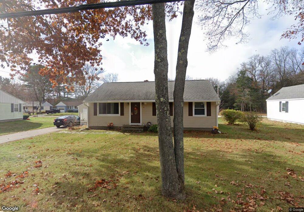
43 New Boston Rd Sturbridge, MA 01566
Estimated Value: $309,774 - $368,000
2
Beds
1
Bath
912
Sq Ft
$380/Sq Ft
Est. Value
About This Home
This home is located at 43 New Boston Rd, Sturbridge, MA 01566 and is currently estimated at $346,694, approximately $380 per square foot. 43 New Boston Rd is a home located in Worcester County with nearby schools including Burgess Elementary School, Tantasqua Regional Junior High School, and Tantasqua Regional High School.
Ownership History
Date
Name
Owned For
Owner Type
Purchase Details
Closed on
Apr 8, 2005
Sold by
Cloutier Christine M
Bought by
Patterson Cynthia A and Patterson Robert J
Current Estimated Value
Purchase Details
Closed on
Jun 14, 1991
Sold by
Floyd Doris E and Hellstrom Wallace G
Bought by
Demauro Bruce N and Cloutier Christine
Create a Home Valuation Report for This Property
The Home Valuation Report is an in-depth analysis detailing your home's value as well as a comparison with similar homes in the area
Home Values in the Area
Average Home Value in this Area
Purchase History
| Date | Buyer | Sale Price | Title Company |
|---|---|---|---|
| Patterson Cynthia A | $209,000 | -- | |
| Demauro Bruce N | $82,000 | -- |
Source: Public Records
Mortgage History
| Date | Status | Borrower | Loan Amount |
|---|---|---|---|
| Open | Demauro Bruce N | $100,000 | |
| Previous Owner | Demauro Bruce N | $103,000 | |
| Previous Owner | Demauro Bruce N | $25,000 | |
| Previous Owner | Demauro Bruce N | $71,000 |
Source: Public Records
Tax History
| Year | Tax Paid | Tax Assessment Tax Assessment Total Assessment is a certain percentage of the fair market value that is determined by local assessors to be the total taxable value of land and additions on the property. | Land | Improvement |
|---|---|---|---|---|
| 2025 | $3,764 | $236,300 | $60,400 | $175,900 |
| 2024 | $3,428 | $207,900 | $59,200 | $148,700 |
| 2023 | $3,231 | $178,800 | $51,400 | $127,400 |
| 2022 | $3,102 | $162,000 | $46,500 | $115,500 |
| 2021 | $2,785 | $146,400 | $44,200 | $102,200 |
| 2020 | $2,785 | $146,400 | $44,200 | $102,200 |
| 2019 | $2,602 | $135,900 | $45,600 | $90,300 |
| 2018 | $2,502 | $128,700 | $43,400 | $85,300 |
| 2017 | $2,382 | $122,800 | $41,700 | $81,100 |
| 2016 | $2,392 | $124,500 | $40,500 | $84,000 |
| 2015 | $2,347 | $122,000 | $40,500 | $81,500 |
Source: Public Records
Map
Nearby Homes
- 73 New Boston Rd
- 368 Main St
- 8 Village Green
- 365 Main St Unit 3
- 26 Cedar Lake Dr
- 14 Maple St
- 9 Haynes St
- 1 Chase Rd
- 146a Cedar St
- 8 Stoneybrook Dr
- 7 Crescent Way Unit 302
- 7 Crescent Way Unit 105
- 7 Crescent Way Unit 315
- 7 Crescent Way Unit 209
- 41 Westwood Dr
- 24 Evergreen Ln
- 208 New Boston Rd
- 19 Arnold Rd
- 5 Hinman St Unit 4
- 0 Fiske Hill Rd
- 41 New Boston Rd
- 45 New Boston Rd
- 8 Sunset Dr
- 44 New Boston Rd
- 10 Sunset Dr
- 42 New Boston Rd
- 46 New Boston Rd
- 39 New Boston Rd
- Lot 4 New Boston Rd
- Lot 5 New Boston Rd
- 12 Sunset Dr
- 19 Cove Dr
- Lot 2 (5) Preserve Way
- 40 New Boston Rd
- 11 Cove Dr
- 37 New Boston Rd
- LOT 3C New Boston Rd
- 38 New Boston Rd
- 14 Sunset Dr
- 9 Cove Dr
Your Personal Tour Guide
Ask me questions while you tour the home.