43 Ozark Trail Damascus, AR 72039
Estimated Value: $194,704 - $292,000
Studio
--
Bath
1,622
Sq Ft
$152/Sq Ft
Est. Value
About This Home
This home is located at 43 Ozark Trail, Damascus, AR 72039 and is currently estimated at $246,568, approximately $152 per square foot. 43 Ozark Trail is a home with nearby schools including Greenbrier Westside Elementary School, Greenbrier Junior High School, and Greenbrier High School.
Ownership History
Date
Name
Owned For
Owner Type
Purchase Details
Closed on
Mar 20, 2003
Bought by
Assignment Of Easements
Current Estimated Value
Purchase Details
Closed on
Jul 1, 2002
Bought by
Waterline R Of W Town Of Damas
Purchase Details
Closed on
Apr 12, 1993
Bought by
01 35 and 01 Ac No Stamps
Purchase Details
Closed on
Nov 2, 1992
Bought by
Pelletier
Purchase Details
Closed on
Oct 28, 1992
Bought by
Comm Deed No Address
Purchase Details
Closed on
Jan 22, 1992
Bought by
Trust
Create a Home Valuation Report for This Property
The Home Valuation Report is an in-depth analysis detailing your home's value as well as a comparison with similar homes in the area
Purchase History
| Date | Buyer | Sale Price | Title Company |
|---|---|---|---|
| Assignment Of Easements | -- | -- | |
| Waterline R Of W Town Of Damas | -- | -- | |
| 01 35 | -- | -- | |
| Pelletier | $129,000 | -- | |
| Comm Deed No Address | -- | -- | |
| Trust | -- | -- |
Source: Public Records
Tax History
| Year | Tax Paid | Tax Assessment Tax Assessment Total Assessment is a certain percentage of the fair market value that is determined by local assessors to be the total taxable value of land and additions on the property. | Land | Improvement |
|---|---|---|---|---|
| 2025 | $751 | $25,400 | $3,470 | $21,930 |
| 2024 | $757 | $25,400 | $3,470 | $21,930 |
| 2023 | $757 | $19,030 | $3,470 | $15,560 |
| 2022 | $382 | $19,030 | $3,470 | $15,560 |
| 2021 | $382 | $19,030 | $3,470 | $15,560 |
| 2020 | $420 | $17,970 | $2,740 | $15,230 |
| 2019 | $420 | $17,970 | $2,740 | $15,230 |
| 2018 | $445 | $17,970 | $2,740 | $15,230 |
| 2017 | $445 | $17,970 | $2,740 | $15,230 |
| 2016 | $445 | $16,050 | $2,740 | $13,310 |
| 2015 | $733 | $15,830 | $2,910 | $12,920 |
| 2014 | $387 | $15,280 | $2,360 | $12,920 |
Source: Public Records
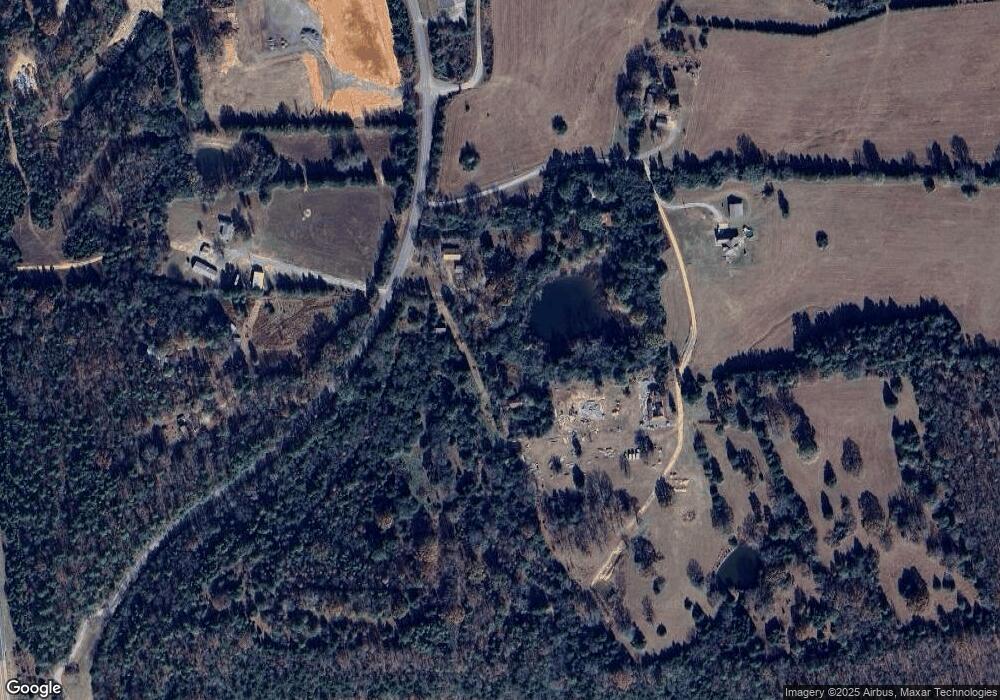
Map
Nearby Homes
- 17 Ozark Dr
- 0 Beene Rd
- 36 E Republican Rd
- 21 Treasure Creek
- TBD Highway 65
- 0 Spears Ln Unit 26006649
- 151 Latigo Ln
- 36 Sky Eagle Dr
- 10 Sethstone Dr
- Lot 1 Hwy 65 Sky Eagle Dr
- 19 Sky Eagle Dr
- 27 Woodridge Dr
- Lot 3 Hwy 65 Sky Eagle Dr
- Lot 5 Hwy 65 Sky Eagle Dr
- Lot 4 Hwy 65 Sky Eagle Dr
- Tract 2 Hwy 65 Sky Eagle Dr
- Tract 1 Hwy 65 Sky Eagle Dr
- 4 Woodridge Dr
- 22 Diamond Dr
- 120 Blackjack Rd
Your Personal Tour Guide
Ask me questions while you tour the home.