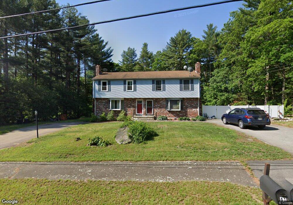
43 Residential Ln Blackstone, MA 01504
Estimated Value: $329,594 - $389,000
3
Beds
2
Baths
1,200
Sq Ft
$293/Sq Ft
Est. Value
About This Home
This home is located at 43 Residential Ln, Blackstone, MA 01504 and is currently estimated at $351,899, approximately $293 per square foot. 43 Residential Ln is a home located in Worcester County with nearby schools including Blackstone-Millville Regional High School, Founders Academy, and Beacon Charter School.
Ownership History
Date
Name
Owned For
Owner Type
Purchase Details
Closed on
Jul 20, 1992
Sold by
Peterson David M
Bought by
Ernest William and Ernest Deborah
Current Estimated Value
Home Financials for this Owner
Home Financials are based on the most recent Mortgage that was taken out on this home.
Original Mortgage
$58,500
Interest Rate
8.54%
Mortgage Type
Purchase Money Mortgage
Purchase Details
Closed on
Feb 10, 1989
Sold by
C & A Bldrs Inc
Bought by
Peterson David M
Home Financials for this Owner
Home Financials are based on the most recent Mortgage that was taken out on this home.
Original Mortgage
$25,980
Interest Rate
10.75%
Create a Home Valuation Report for This Property
The Home Valuation Report is an in-depth analysis detailing your home's value as well as a comparison with similar homes in the area
Home Values in the Area
Average Home Value in this Area
Purchase History
| Date | Buyer | Sale Price | Title Company |
|---|---|---|---|
| Ernest William | $65,000 | -- | |
| Peterson David M | $129,900 | -- |
Source: Public Records
Mortgage History
| Date | Status | Borrower | Loan Amount |
|---|---|---|---|
| Open | Peterson David M | $101,250 | |
| Closed | Peterson David M | $24,500 | |
| Closed | Peterson David M | $58,500 | |
| Previous Owner | Peterson David M | $25,980 |
Source: Public Records
Tax History Compared to Growth
Tax History
| Year | Tax Paid | Tax Assessment Tax Assessment Total Assessment is a certain percentage of the fair market value that is determined by local assessors to be the total taxable value of land and additions on the property. | Land | Improvement |
|---|---|---|---|---|
| 2025 | $4,811 | $318,600 | $0 | $318,600 |
| 2024 | $3,971 | $243,200 | $0 | $243,200 |
| 2023 | $4,098 | $253,300 | $0 | $253,300 |
| 2022 | $3,526 | $197,000 | $0 | $197,000 |
| 2021 | $4,229 | $225,900 | $0 | $225,900 |
| 2020 | $3,340 | $177,100 | $0 | $177,100 |
| 2019 | $3,205 | $169,500 | $0 | $169,500 |
| 2018 | $3,333 | $171,000 | $0 | $171,000 |
| 2017 | $3,097 | $160,800 | $0 | $160,800 |
| 2016 | $3,253 | $168,200 | $0 | $168,200 |
| 2015 | $3,298 | $169,300 | $0 | $169,300 |
Source: Public Records
Map
Nearby Homes
- 162 Blackstone St
- 183-183R Mendon St
- 10 Autumn Ln
- 1, 3, 5 Old Lincoln St
- 15 Blackstone St
- 96 Main St Unit 1
- 6 Old Mendon St
- 227 Blackstone St
- 259 Main St
- 24 Ascension St
- 122 Canal St
- 0 Main St
- 302 Main St
- 2-4-6-7 Quarry Hill Ln
- 25 Milk St
- 44 Federal St
- 11 Federal St
- 22 Colerick Ave
- 1 Tupperware Dr Unit 326
- 1 Tupperware Dr Unit 209
- 41 Residential Ln
- 26 Residential Ln
- 24 Residential Ln
- 47 Residential Ln
- 45 Residential Ln
- 47 Residential Ln Unit a
- 39 Residential Ln
- 37 Residential Ln
- 39 Residential Ln Unit 39
- 39 Residential Ln Unit A
- 28 Residential Ln
- 35 Residential Ln
- 33 Residential Ln
- 33 Residential Ln Unit a
- 22 Residential Ln
- 20 Residential Ln
- 4 Residential Ln
- 4 Residential Ln Unit 4,4
- 51 Residential Ln
- 49 Residential Ln