43 Robbins Dr Cascade, ID 83611
Estimated Value: $508,000 - $677,000
2
Beds
2
Baths
1,716
Sq Ft
$327/Sq Ft
Est. Value
About This Home
This home is located at 43 Robbins Dr, Cascade, ID 83611 and is currently estimated at $561,212, approximately $327 per square foot. 43 Robbins Dr is a home with nearby schools including Cascade Elementary School, Cascade Junior/Senior High School, and ALZAR SCHOOL.
Ownership History
Date
Name
Owned For
Owner Type
Purchase Details
Closed on
Dec 30, 2021
Sold by
Mills Arthur and Vandorn Alice Van
Bought by
Nichols Jamie and Nichols Stacie
Current Estimated Value
Purchase Details
Closed on
Dec 21, 2018
Sold by
Vandorn Alice Van and Mills Arthur
Bought by
Dorn Alice L Van and Mills Arthur
Purchase Details
Closed on
Jun 30, 2016
Sold by
Vanvandorn Alice Van and Smart Virginia L
Bought by
Vanvandorn Alice Van and Smart Virginia L
Purchase Details
Closed on
Aug 27, 2010
Sold by
Smart Alvin M and Smart Virginia L
Bought by
Smart Alvin M and Smart Virginia L
Create a Home Valuation Report for This Property
The Home Valuation Report is an in-depth analysis detailing your home's value as well as a comparison with similar homes in the area
Purchase History
| Date | Buyer | Sale Price | Title Company |
|---|---|---|---|
| Nichols Jamie | -- | Pioneer Title Co Of Ada Cnty | |
| Dorn Alice L Van | -- | None Available | |
| Dorn Alice L Van | -- | None Available | |
| Vanvandorn Alice Van | -- | None Available | |
| Smart Alvin M | -- | -- |
Source: Public Records
Tax History
| Year | Tax Paid | Tax Assessment Tax Assessment Total Assessment is a certain percentage of the fair market value that is determined by local assessors to be the total taxable value of land and additions on the property. | Land | Improvement |
|---|---|---|---|---|
| 2025 | $1,217 | $436,955 | $93,911 | $343,044 |
| 2023 | $1,217 | $479,006 | $144,478 | $334,528 |
| 2022 | $729 | $201,674 | $134,072 | $67,602 |
| 2021 | $724 | $124,850 | $44,492 | $80,358 |
| 2020 | $739 | $108,750 | $41,732 | $67,018 |
| 2019 | $839 | $117,970 | $47,055 | $70,915 |
| 2018 | $815 | $114,637 | $51,687 | $62,950 |
| 2017 | $794 | $113,997 | $51,687 | $62,310 |
| 2016 | $738 | $99,490 | $43,404 | $56,086 |
| 2015 | $633 | $81,370 | $0 | $0 |
| 2013 | -- | $94,673 | $0 | $0 |
Source: Public Records
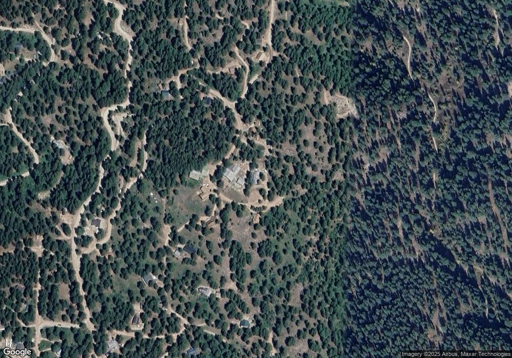
Map
Nearby Homes
- 1292 Shore Dr
- 1618 Crown Point Pkwy
- 1307 Crown Point Pkwy
- 1353 Sterling Dr
- 1353 Sterling Dr Unit 68
- TBD 2 Warm Lake Rd
- 614 Crawford Ave
- 614 Crawford Ave Unit 17
- 104 W Glen St
- 45 Sunset Loop
- 511 Lakeview Dr Unit 3
- 511 Lakeview Dr
- TBD 4 Warm Lake Rd
- 515 Lakeview Dr
- 29 B St
- 2 P St Unit 1
- 4 P St
- 514 Sawyer St F49
- 512 Jeffery Ave
- 512 Jeffery Ave Unit 2
- 39 Robbins Dr
- 18 Robbins Dr Unit 26
- 18 Robbins Dr
- 46 Robbins Dr
- 31 Robbins Dr Unit 15
- 42 Robbins Dr Unit 19
- 31 Robbins Dr
- 42 Robbins Dr
- 36 Robbins Dr
- 38 Robbins Dr
- 29 Robbins Dr
- 40 Robbins Dr
- 1246 Woodside Rd
- 22 Robbins Dr
- 1261 Laurel Dr
- 1262 Laurel Dr
- 1242 Woodside Rd
- 21 Robbins Dr
- 1240 Woodside Rd
- 1243 Woodside Rd
Your Personal Tour Guide
Ask me questions while you tour the home.