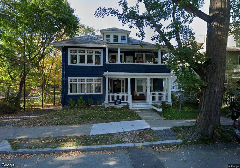
43 Russell St Brookline, MA 02446
Coolidge Corner NeighborhoodEstimated Value: $1,360,000 - $1,622,000
4
Beds
2
Baths
1,832
Sq Ft
$796/Sq Ft
Est. Value
About This Home
This home is located at 43 Russell St, Brookline, MA 02446 and is currently estimated at $1,458,954, approximately $796 per square foot. 43 Russell St is a home located in Norfolk County with nearby schools including Match Charter Public School and St. Mary of the Assumption Elementary School.
Ownership History
Date
Name
Owned For
Owner Type
Purchase Details
Closed on
Nov 29, 2004
Sold by
Chiler Abram and Chiler Barry
Bought by
Dean Gabrielle S and Mitra Himal
Current Estimated Value
Home Financials for this Owner
Home Financials are based on the most recent Mortgage that was taken out on this home.
Original Mortgage
$474,900
Outstanding Balance
$238,147
Interest Rate
5.75%
Mortgage Type
Purchase Money Mortgage
Estimated Equity
$1,220,807
Create a Home Valuation Report for This Property
The Home Valuation Report is an in-depth analysis detailing your home's value as well as a comparison with similar homes in the area
Home Values in the Area
Average Home Value in this Area
Purchase History
| Date | Buyer | Sale Price | Title Company |
|---|---|---|---|
| Dean Gabrielle S | $595,000 | -- |
Source: Public Records
Mortgage History
| Date | Status | Borrower | Loan Amount |
|---|---|---|---|
| Open | Dean Gabrielle S | $474,900 |
Source: Public Records
Tax History Compared to Growth
Tax History
| Year | Tax Paid | Tax Assessment Tax Assessment Total Assessment is a certain percentage of the fair market value that is determined by local assessors to be the total taxable value of land and additions on the property. | Land | Improvement |
|---|---|---|---|---|
| 2025 | $10,725 | $1,086,600 | $0 | $1,086,600 |
| 2024 | $10,408 | $1,065,300 | $0 | $1,065,300 |
| 2023 | $9,946 | $997,600 | $0 | $997,600 |
| 2022 | $9,870 | $968,600 | $0 | $968,600 |
| 2021 | $9,398 | $959,000 | $0 | $959,000 |
| 2020 | $8,973 | $949,500 | $0 | $949,500 |
| 2019 | $8,473 | $904,300 | $0 | $904,300 |
| 2018 | $8,147 | $861,200 | $0 | $861,200 |
| 2017 | $7,878 | $797,400 | $0 | $797,400 |
| 2016 | $7,553 | $724,900 | $0 | $724,900 |
| 2015 | $7,038 | $659,000 | $0 | $659,000 |
| 2014 | $6,893 | $605,200 | $0 | $605,200 |
Source: Public Records
Map
Nearby Homes
- 28 Verndale St
- 200 Winchester St Unit 1
- 5 Fiske Terrace
- 188 Mason Terrace Unit 188
- 186 Mason Terrace Unit 186
- 107 Centre St Unit A
- 116 Thorndike St
- 116 Thorndike St Unit 2
- 116 Thorndike St Unit 1
- 150+152 Jordan Rd
- 85 Brainerd Rd Unit TH7
- 1304 Commonwealth Ave Unit 5
- 93 Centre St Unit 2
- 373 Harvard St Unit 1
- 239 Kelton St Unit 41
- 245 Kelton St Unit 21
- 138 Mason Terrace Unit 1
- 5 Spofford Rd Unit 17
- 30 Glenville Ave Unit 1
- 86 Glenville Ave Unit 2
- 41 Russell St
- 45 Russell St
- 39 Russell St
- 39 Russell St Unit 1
- 33 Russell St
- 35 Russell St
- 33 Russell St Unit 3D
- 33 Russell St Unit 2
- 42 Russell St
- 46 Russell St
- 46 Russell St Unit 1
- 36 Russell St
- 34 Russell St
- 50 Kenwood St
- 50 Kenwood St Unit 1
- 50 Kenwood St Unit 6
- 46 Kenwood St
- 50 Russell St
- 50 Russell St Unit 1
- 50 Russell St Unit 2