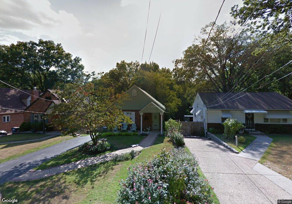
43 S Barat Ave Saint Louis, MO 63135
Estimated Value: $93,000 - $129,000
2
Beds
2
Baths
1,048
Sq Ft
$106/Sq Ft
Est. Value
About This Home
This home is located at 43 S Barat Ave, Saint Louis, MO 63135 and is currently estimated at $111,060, approximately $105 per square foot. 43 S Barat Ave is a home located in St. Louis County with nearby schools including Vogt Elementary School, Ferguson Middle School, and McCluer High School.
Ownership History
Date
Name
Owned For
Owner Type
Purchase Details
Closed on
Mar 3, 2005
Sold by
Scout Properties Llc
Bought by
Nelson Patsy
Current Estimated Value
Purchase Details
Closed on
Dec 28, 2004
Sold by
Bowman Kathy L
Bought by
Scout Properties Llc
Home Financials for this Owner
Home Financials are based on the most recent Mortgage that was taken out on this home.
Original Mortgage
$47,659
Interest Rate
5.76%
Mortgage Type
Purchase Money Mortgage
Create a Home Valuation Report for This Property
The Home Valuation Report is an in-depth analysis detailing your home's value as well as a comparison with similar homes in the area
Home Values in the Area
Average Home Value in this Area
Purchase History
| Date | Buyer | Sale Price | Title Company |
|---|---|---|---|
| Nelson Patsy | $56,500 | -- | |
| Scout Properties Llc | $45,000 | -- |
Source: Public Records
Mortgage History
| Date | Status | Borrower | Loan Amount |
|---|---|---|---|
| Previous Owner | Scout Properties Llc | $47,659 |
Source: Public Records
Tax History Compared to Growth
Tax History
| Year | Tax Paid | Tax Assessment Tax Assessment Total Assessment is a certain percentage of the fair market value that is determined by local assessors to be the total taxable value of land and additions on the property. | Land | Improvement |
|---|---|---|---|---|
| 2025 | $1,396 | $22,800 | $3,400 | $19,400 |
| 2024 | $1,396 | $19,190 | $2,360 | $16,830 |
| 2023 | $1,388 | $19,190 | $2,360 | $16,830 |
| 2022 | $1,319 | $15,880 | $2,960 | $12,920 |
| 2021 | $1,277 | $15,880 | $2,960 | $12,920 |
| 2020 | $1,272 | $14,220 | $2,740 | $11,480 |
| 2019 | $1,248 | $14,220 | $2,740 | $11,480 |
| 2018 | $1,333 | $13,570 | $2,380 | $11,190 |
| 2017 | $1,307 | $13,570 | $2,380 | $11,190 |
| 2016 | $1,102 | $11,220 | $2,000 | $9,220 |
| 2015 | $1,110 | $11,220 | $2,000 | $9,220 |
| 2014 | $1,168 | $11,690 | $1,940 | $9,750 |
Source: Public Records
Map
Nearby Homes
- 47 S Barat Ave
- 35 S Barat Ave
- 51 S Barat Ave
- 29 S Barat Ave
- 615 Derinda Ave
- 23 S Barat Ave
- 545 Derinda Ave
- 101 S Barat Ave
- 19 S Barat Ave
- 610 Derinda Ave
- 48 S Barat Ave
- 50 S Barat Ave
- 38 S Barat Ave
- 109 S Barat Ave
- 54 S Barat Ave
- 539 Derinda Ave
- 58 S Barat Ave
- 26 S Barat Ave
- 15 S Barat Ave
- 62 S Barat Ave