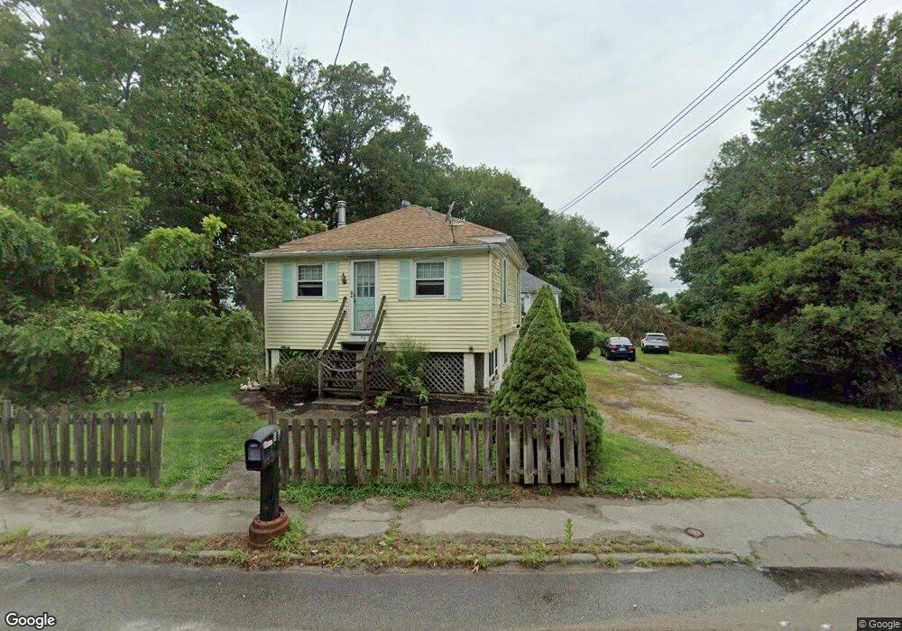
43 Sanford Rd Westport, MA 02790
North Westport NeighborhoodEstimated Value: $303,000 - $441,000
2
Beds
--
Bath
682
Sq Ft
$545/Sq Ft
Est. Value
About This Home
This home is located at 43 Sanford Rd, Westport, MA 02790 and is currently estimated at $371,931, approximately $545 per square foot. 43 Sanford Rd is a home located in Bristol County with nearby schools including Alice A. Macomber Primary School, Westport Elementary School, and Westport Middle-High School.
Ownership History
Date
Name
Owned For
Owner Type
Purchase Details
Closed on
Sep 4, 1998
Sold by
Patenaude Joyce
Bought by
Hickey Brian
Current Estimated Value
Home Financials for this Owner
Home Financials are based on the most recent Mortgage that was taken out on this home.
Original Mortgage
$45,000
Outstanding Balance
$9,613
Interest Rate
6.9%
Mortgage Type
Purchase Money Mortgage
Estimated Equity
$362,318
Purchase Details
Closed on
Apr 20, 1965
Bought by
Hickey Brian K and Hickey Barbara Ann
Create a Home Valuation Report for This Property
The Home Valuation Report is an in-depth analysis detailing your home's value as well as a comparison with similar homes in the area
Home Values in the Area
Average Home Value in this Area
Purchase History
| Date | Buyer | Sale Price | Title Company |
|---|---|---|---|
| Hickey Brian | $65,000 | -- | |
| Hickey Brian K | $65,000 | -- |
Source: Public Records
Mortgage History
| Date | Status | Borrower | Loan Amount |
|---|---|---|---|
| Open | Hickey Brian K | $6,000 | |
| Open | Hickey Brian K | $45,000 | |
| Previous Owner | Hickey Brian K | $5,500 |
Source: Public Records
Tax History Compared to Growth
Tax History
| Year | Tax Paid | Tax Assessment Tax Assessment Total Assessment is a certain percentage of the fair market value that is determined by local assessors to be the total taxable value of land and additions on the property. | Land | Improvement |
|---|---|---|---|---|
| 2025 | $2,286 | $306,900 | $177,000 | $129,900 |
| 2024 | $2,209 | $285,800 | $156,900 | $128,900 |
| 2023 | $2,047 | $250,800 | $142,600 | $108,200 |
| 2022 | $1,973 | $232,700 | $142,600 | $90,100 |
| 2021 | $3,745 | $217,100 | $123,500 | $93,600 |
| 2020 | $5,805 | $212,100 | $118,500 | $93,600 |
| 2019 | $1,720 | $208,000 | $118,500 | $89,500 |
| 2018 | $1,597 | $195,500 | $117,000 | $78,500 |
| 2017 | $1,506 | $189,000 | $113,200 | $75,800 |
| 2016 | $1,466 | $185,300 | $109,500 | $75,800 |
| 2015 | $1,394 | $175,800 | $112,000 | $63,800 |
Source: Public Records
Map
Nearby Homes
- 128 Old Bedford Rd
- 33 William St
- 25 Beaulieu St
- 6 Beaulieu St
- 9 Register Ave
- 125 Angell St
- 34 Alsop St
- 3 Diane Way
- 37 Eaton St
- 219 Earle St Unit 3
- 217 Earle St Unit 2
- 215 Earle St Unit 1
- 1792 Pleasant St Unit 1808
- 85 Reney St
- 172 Earle St
- 89 Lafayette St
- 92 Benoit St
- 10 Choate St
- 383 Alden St
- 31 Choate St
- 41 Sanford Rd
- 57 Sanford Rd
- 146 State Rd
- 146 State Rd Unit 1
- 25 Sanford Rd
- 142 State Rd
- 25 Hebert Terrace
- 151 State Rd Unit # 6 2nd Floor
- 138 State Rd
- 174 State Rd
- 85 State Rd
- 153 State Rd
- 153 State Rd
- 994 State
- 20 Sanford Rd
- 22 Hebert Terrace
- 21 Sanford Rd
- 19 Hebert Terrace
- 134 State Rd
- 136 State Rd