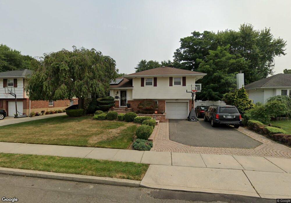
43 Sherman Ave Plainview, NY 11803
Estimated Value: $838,263 - $907,000
Studio
--
Bath
1,106
Sq Ft
$789/Sq Ft
Est. Value
About This Home
This home is located at 43 Sherman Ave, Plainview, NY 11803 and is currently estimated at $872,632, approximately $788 per square foot. 43 Sherman Ave is a home located in Nassau County with nearby schools including Pasadena Elementary School, Plainview Old Bethpage Middle School, and Plainview-Old Bethpage John F. Kennedy High School.
Ownership History
Date
Name
Owned For
Owner Type
Purchase Details
Closed on
Jul 6, 2009
Sold by
Kass Jason S and Kass Laurie F
Bought by
Dais Jubal and Dais Joan
Current Estimated Value
Home Financials for this Owner
Home Financials are based on the most recent Mortgage that was taken out on this home.
Original Mortgage
$498,575
Outstanding Balance
$325,402
Interest Rate
5.31%
Mortgage Type
Purchase Money Mortgage
Estimated Equity
$547,230
Purchase Details
Closed on
Jul 28, 2003
Sold by
Hecht Edward
Bought by
Kass Jason
Create a Home Valuation Report for This Property
The Home Valuation Report is an in-depth analysis detailing your home's value as well as a comparison with similar homes in the area
Home Values in the Area
Average Home Value in this Area
Purchase History
| Date | Buyer | Sale Price | Title Company |
|---|---|---|---|
| Dais Jubal | $550,000 | -- | |
| Kass Jason | $465,000 | -- |
Source: Public Records
Mortgage History
| Date | Status | Borrower | Loan Amount |
|---|---|---|---|
| Open | Dais Jubal | $498,575 |
Source: Public Records
Tax History
| Year | Tax Paid | Tax Assessment Tax Assessment Total Assessment is a certain percentage of the fair market value that is determined by local assessors to be the total taxable value of land and additions on the property. | Land | Improvement |
|---|---|---|---|---|
| 2025 | $14,201 | $512 | $267 | $245 |
| 2024 | $4,488 | $535 | $279 | $256 |
Source: Public Records
Map
Nearby Homes
- 43 Sherman Ave
- 41 Sherman Ave
- 41 Sherman Ave
- 45 Sherman Ave
- 39 Sherman Ave
- 47 Sherman Ave
- 42 Sherman Ave
- 42 Sherman Ave
- 40 Sherman Ave
- 65 Belmont Ave
- 65 Belmont Ave Unit A
- 44 Sherman Ave
- 67 Belmont Ave
- 67 Belmont Ave Unit A
- 38 Sherman Ave
- 37 Sherman Ave
- 49 Sherman Ave
- 63 Belmont Ave
- 48 Sherman Ave
- 36 Sherman Ave
Your Personal Tour Guide
Ask me questions while you tour the home.