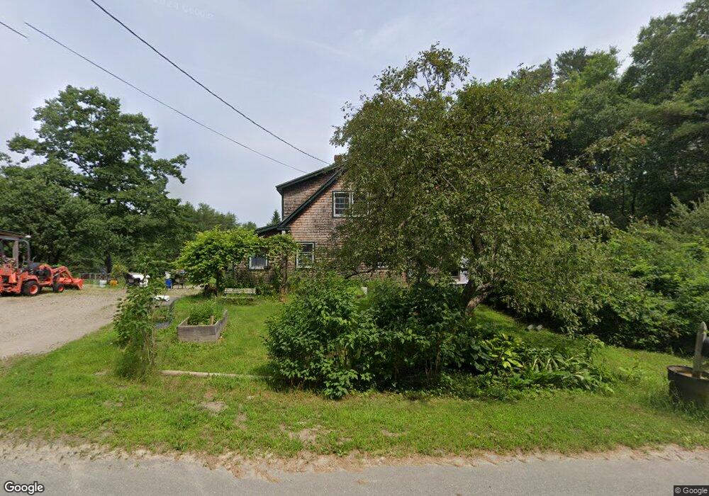
43 Sorey Rd Stockton Springs, ME 04981
Estimated Value: $334,000 - $424,000
3
Beds
2
Baths
1,919
Sq Ft
$195/Sq Ft
Est. Value
About This Home
This home is located at 43 Sorey Rd, Stockton Springs, ME 04981 and is currently estimated at $373,477, approximately $194 per square foot. 43 Sorey Rd is a home located in Waldo County.
Ownership History
Date
Name
Owned For
Owner Type
Purchase Details
Closed on
Oct 26, 2009
Sold by
Nickerson Emily K
Bought by
Ericson Richard R and Ericson Stacey B
Current Estimated Value
Home Financials for this Owner
Home Financials are based on the most recent Mortgage that was taken out on this home.
Original Mortgage
$108,000
Outstanding Balance
$70,844
Interest Rate
5.09%
Mortgage Type
Purchase Money Mortgage
Estimated Equity
$302,633
Create a Home Valuation Report for This Property
The Home Valuation Report is an in-depth analysis detailing your home's value as well as a comparison with similar homes in the area
Home Values in the Area
Average Home Value in this Area
Purchase History
| Date | Buyer | Sale Price | Title Company |
|---|---|---|---|
| Ericson Richard R | -- | -- |
Source: Public Records
Mortgage History
| Date | Status | Borrower | Loan Amount |
|---|---|---|---|
| Open | Ericson Richard R | $108,000 |
Source: Public Records
Tax History Compared to Growth
Tax History
| Year | Tax Paid | Tax Assessment Tax Assessment Total Assessment is a certain percentage of the fair market value that is determined by local assessors to be the total taxable value of land and additions on the property. | Land | Improvement |
|---|---|---|---|---|
| 2024 | $4,274 | $257,460 | $45,050 | $212,410 |
| 2023 | $3,537 | $159,310 | $45,050 | $114,260 |
| 2022 | $3,250 | $159,310 | $45,050 | $114,260 |
| 2021 | $3,234 | $159,310 | $45,050 | $114,260 |
| 2020 | $3,282 | $159,310 | $45,050 | $114,260 |
| 2019 | $3,234 | $159,310 | $45,050 | $114,260 |
| 2018 | $3,218 | $159,310 | $45,050 | $114,260 |
| 2017 | $3,266 | $159,310 | $45,050 | $114,260 |
| 2016 | $3,122 | $159,310 | $45,050 | $114,260 |
| 2015 | $3,019 | $159,310 | $45,050 | $114,260 |
| 2014 | $2,179 | $113,210 | $34,900 | $78,310 |
| 2013 | $2,014 | $111,900 | $34,900 | $77,000 |
Source: Public Records
Map
Nearby Homes
- 81 Blueberry Ln
- 57 Ocean View Dr
- 306 Pout Town Rd
- 1357 U S Route 1
- 15 Windjammer Ln
- 19 Bracken Ln
- 45 Sandy Point Rd
- R1-137A Morningside Place
- 671 U S Route 1
- 00 Stagecoach Rd
- 22 Bayview Dr
- 4 Switzer Spring Rd
- 00 Switzer Spring Rd
- 95 Osprey Reach Rd
- 311 & 313 N North Searsport Rd
- 38 Osprey Reach Rd
- 43 Verona Park
- 55 Upper Sylvan St
- 271 U S Route 1
- 390 N Searsport Rd
- 199 Sorey
- 19 Sorey Rd
- 1 Sorey Rd
- 451 Muskrat Farm Rd
- 450 Muskrat Farm Rd
- 500 Muskrat Farm Rd
- 0 Blanket Ln Unit 820556
- 0 Blanket Ln Unit 756309
- 0 Blanket Ln Unit 753805
- 0 Blanket Ln Unit 604479
- 0 Blanket Ln Unit 239024
- 0 Blanket Ln Unit 1274203
- 0 Blanket Ln Unit 1301374
- 0 Blanket Ln Unit 1346107
- 505 Muskrat Farm Rd
- 34 Blanket Ln
- 430 Muskrat Farm Rd
- 512 Muskrat Farm Rd
- 431 Muskrat Farm Rd
- 45 Blanket Ln