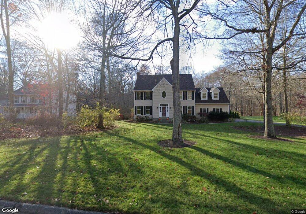
43 Spring Rock Rd East Lyme, CT 06333
Estimated Value: $725,826 - $880,000
3
Beds
3
Baths
2,674
Sq Ft
$300/Sq Ft
Est. Value
About This Home
This home is located at 43 Spring Rock Rd, East Lyme, CT 06333 and is currently estimated at $801,957, approximately $299 per square foot. 43 Spring Rock Rd is a home located in New London County with nearby schools including East Lyme Middle School, East Lyme High School, and Carelot Children's Center - East Lyme.
Ownership History
Date
Name
Owned For
Owner Type
Purchase Details
Closed on
Apr 25, 2002
Sold by
Kuperman Alexander V and Cohan Victoria L
Bought by
Apicelli Keith T and Apicelli Kathleen A
Current Estimated Value
Purchase Details
Closed on
Mar 21, 1995
Sold by
Nazarko Prop Inc
Bought by
Kuperman Alexander and Cohan Victoria L
Create a Home Valuation Report for This Property
The Home Valuation Report is an in-depth analysis detailing your home's value as well as a comparison with similar homes in the area
Home Values in the Area
Average Home Value in this Area
Purchase History
| Date | Buyer | Sale Price | Title Company |
|---|---|---|---|
| Apicelli Keith T | $411,500 | -- | |
| Kuperman Alexander | $265,000 | -- | |
| Apicelli Keith T | $411,500 | -- | |
| Kuperman Alexander V | $265,000 | -- |
Source: Public Records
Mortgage History
| Date | Status | Borrower | Loan Amount |
|---|---|---|---|
| Open | Kuperman Alexander V | $200,000 | |
| Closed | Kuperman Alexander V | $224,000 |
Source: Public Records
Tax History Compared to Growth
Tax History
| Year | Tax Paid | Tax Assessment Tax Assessment Total Assessment is a certain percentage of the fair market value that is determined by local assessors to be the total taxable value of land and additions on the property. | Land | Improvement |
|---|---|---|---|---|
| 2025 | $9,945 | $355,040 | $105,910 | $249,130 |
| 2024 | $9,355 | $355,040 | $105,910 | $249,130 |
| 2023 | $8,833 | $355,040 | $105,910 | $249,130 |
| 2022 | $8,464 | $355,040 | $105,910 | $249,130 |
| 2021 | $8,482 | $297,500 | $105,910 | $191,590 |
| 2020 | $8,437 | $297,500 | $105,910 | $191,590 |
| 2019 | $8,387 | $297,500 | $105,910 | $191,590 |
| 2018 | $8,137 | $297,500 | $105,910 | $191,590 |
| 2017 | $7,783 | $297,500 | $105,910 | $191,590 |
| 2016 | $7,383 | $291,130 | $105,910 | $185,220 |
| 2015 | $7,194 | $291,130 | $105,910 | $185,220 |
| 2014 | $6,996 | $291,130 | $105,910 | $185,220 |
Source: Public Records
Map
Nearby Homes
- 57 Spring Rock Rd
- Waramaug Plan at Riverside Reserve
- Highland Plan at Riverside Reserve
- Hayward Plan at Riverside Reserve
- Ashford Plan at Riverside Reserve
- Lillinonah Plan at Riverside Reserve
- 16 Twin Valley Rd
- 18 Twin Valley Rd
- 496 Boston Post Rd
- 223 N Bride Brook Rd
- 188 4 Mile River Rd
- 270 N Bride Brook Rd
- 14 Colton Rd
- 287 Boston Post Rd
- 15 Freedom Way Unit 92
- 420 Boston Post Rd
- 15 Short Hills Rd
- 23 Lords Meadow Ln
- 13 Willow Ln
- 4 Jean Dr
- 45 Spring Rock Rd
- 41 Spring Rock Rd
- 47 Spring Rock Rd
- 39 Spring Rock Rd
- 37 Spring Rock Rd
- 49 Spring Rock Rd
- 40 Spring Rock Rd
- 33 Spring Rock Rd
- 51 Spring Rock Rd
- 44 Spring Rock Rd
- 27 Spring Rock Rd
- 46 Spring Rock Rd
- 40 Spring Rock Rd
- 48 Spring Rock Rd
- 38 Spring Rock Rd
- 55 Spring Rock Rd
- 53 Spring Rock Rd
- 36 Spring Rock Rd
- 34 Spring Rock Rd
- 52 Spring Rock Rd