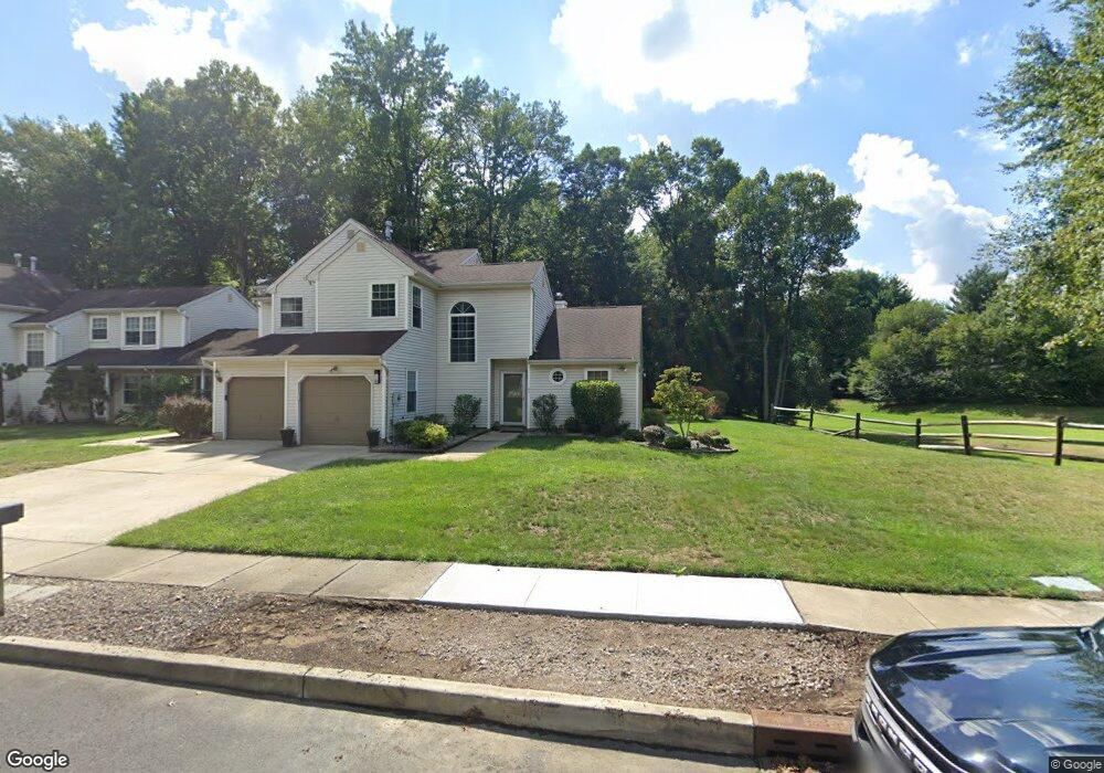
43 Spruce Rd Hightstown, NJ 08520
Estimated Value: $463,925 - $499,000
Studio
--
Bath
1,605
Sq Ft
$303/Sq Ft
Est. Value
About This Home
This home is located at 43 Spruce Rd, Hightstown, NJ 08520 and is currently estimated at $486,981, approximately $303 per square foot. 43 Spruce Rd is a home located in Mercer County with nearby schools including Melvin H. Kreps Middle School, Hightstown High School, and SciCore Academy.
Ownership History
Date
Name
Owned For
Owner Type
Purchase Details
Closed on
Jan 31, 2013
Sold by
Borosko Mark A and Valenti Lisa C
Bought by
Valenti Lisa C
Current Estimated Value
Purchase Details
Closed on
Jul 20, 2006
Sold by
Valenti Carl
Bought by
Valenti Lisa and Borosko Mark
Home Financials for this Owner
Home Financials are based on the most recent Mortgage that was taken out on this home.
Original Mortgage
$80,000
Interest Rate
6.67%
Mortgage Type
Purchase Money Mortgage
Purchase Details
Closed on
Feb 12, 1991
Sold by
Turcotte Rena E
Bought by
Valenti Carl M
Purchase Details
Closed on
Jul 28, 1989
Sold by
Valenti Carl M
Bought by
Valenti Carl M
Purchase Details
Closed on
Jan 16, 1989
Sold by
Valenti Carl M
Bought by
Valenti Carl M and Valenti Turcotte,Rena E
Create a Home Valuation Report for This Property
The Home Valuation Report is an in-depth analysis detailing your home's value as well as a comparison with similar homes in the area
Home Values in the Area
Average Home Value in this Area
Purchase History
| Date | Buyer | Sale Price | Title Company |
|---|---|---|---|
| Valenti Lisa C | -- | None Available | |
| Valenti Lisa | $210,000 | -- | |
| Valenti Carl M | $70,000 | -- | |
| Valenti Carl M | $70,000 | -- | |
| Valenti Carl M | $100,000 | -- |
Source: Public Records
Mortgage History
| Date | Status | Borrower | Loan Amount |
|---|---|---|---|
| Previous Owner | Valenti Lisa | $80,000 |
Source: Public Records
Tax History
| Year | Tax Paid | Tax Assessment Tax Assessment Total Assessment is a certain percentage of the fair market value that is determined by local assessors to be the total taxable value of land and additions on the property. | Land | Improvement |
|---|---|---|---|---|
| 2025 | $9,341 | $251,100 | $95,400 | $155,700 |
| 2024 | $8,844 | $251,100 | $95,400 | $155,700 |
Source: Public Records
Map
Nearby Homes
- 569 Route 130
- 7 Rembrandt Way
- 98 Winchester Dr
- 14 Chatham Ct
- 5 Charred Oak La
- 13 Meadow Ln
- 102 Teal Ct
- 28 Columbia Ave
- 221 Hickory Corner Rd
- 2 Carriage Ct
- 505 Summit St
- 109 Pebble Rd
- 17 Vintage Dr
- 357 Stockton St
- 336 Stockton St
- 378 Blanketflower Ln
- 115 J the Orchards
- 305 Stockton St
- 138 the Orchards Unit C
- 125 Orchard Ave
Your Personal Tour Guide
Ask me questions while you tour the home.