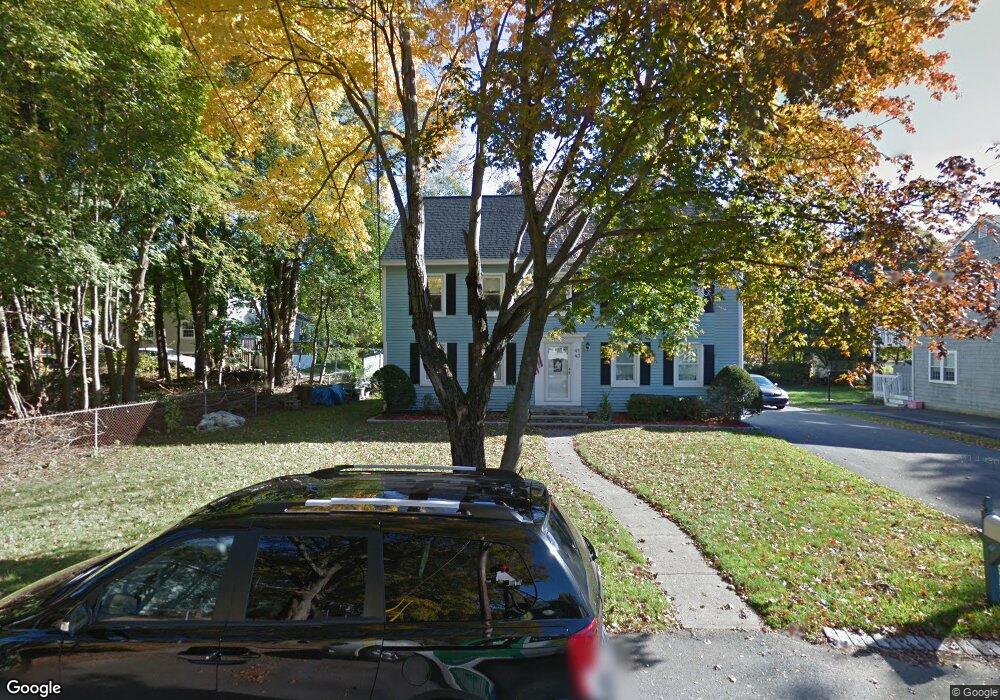
43 Summit St North Andover, MA 01845
Estimated Value: $879,469 - $1,040,000
5
Beds
3
Baths
3,435
Sq Ft
$277/Sq Ft
Est. Value
About This Home
This home is located at 43 Summit St, North Andover, MA 01845 and is currently estimated at $951,367, approximately $276 per square foot. 43 Summit St is a home located in Essex County with nearby schools including Thomson Elementary School, North Andover Middle School, and North Andover High School.
Ownership History
Date
Name
Owned For
Owner Type
Purchase Details
Closed on
Nov 18, 2015
Sold by
Mercier Russell P and Mercier Barbara A
Bought by
Mercier Ft
Current Estimated Value
Purchase Details
Closed on
Nov 21, 2012
Sold by
Mercier Russell P
Bought by
Mercier Russell P and Mercier Barbara A
Purchase Details
Closed on
Mar 2, 2004
Sold by
Mercier Claire D and Mercier Russell P
Bought by
41-43 Summit Street Rt
Create a Home Valuation Report for This Property
The Home Valuation Report is an in-depth analysis detailing your home's value as well as a comparison with similar homes in the area
Home Values in the Area
Average Home Value in this Area
Purchase History
| Date | Buyer | Sale Price | Title Company |
|---|---|---|---|
| Mercier Ft | -- | -- | |
| Mercier Russell P | -- | -- | |
| Mercier Russell P | -- | -- | |
| 41-43 Summit Street Rt | -- | -- |
Source: Public Records
Tax History Compared to Growth
Tax History
| Year | Tax Paid | Tax Assessment Tax Assessment Total Assessment is a certain percentage of the fair market value that is determined by local assessors to be the total taxable value of land and additions on the property. | Land | Improvement |
|---|---|---|---|---|
| 2025 | $8,676 | $770,500 | $301,800 | $468,700 |
| 2024 | $8,396 | $757,100 | $284,100 | $473,000 |
| 2023 | $8,116 | $663,100 | $261,000 | $402,100 |
| 2022 | $7,685 | $568,000 | $234,300 | $333,700 |
| 2021 | $7,461 | $526,500 | $213,000 | $313,500 |
| 2020 | $6,992 | $508,900 | $213,000 | $295,900 |
| 2019 | $6,824 | $508,900 | $213,000 | $295,900 |
| 2018 | $7,394 | $508,900 | $213,000 | $295,900 |
| 2017 | $6,119 | $428,500 | $176,800 | $251,700 |
| 2016 | $5,838 | $409,100 | $173,400 | $235,700 |
| 2015 | $4,865 | $338,100 | $167,500 | $170,600 |
Source: Public Records
Map
Nearby Homes
- 33 Upland St
- 12 Walker Rd Unit 6
- 9 Walker Rd Unit 8
- 3 Walker Rd Unit 1
- 148 Main St Unit S327
- 148 Main St Unit O102
- 148 Main St Unit A510
- 148-150 Water St
- 88 Elm St Unit 1
- 64 E Water St
- 3 Elm St Unit 3
- 59 Maple Ave Unit 59
- 33 Pilgrim St
- 53 May St
- 58 May St
- 0 Great Pond Rd
- 60 Park St
- 24 Marblehead St
- 11 Putnam Rd
- 8 Little Rd
- 39 Summit St Unit 2
- 37-39 Summit St
- 37 Summit St Unit 39
- 37 Summit St Unit 37 Summit Street
- 73 Furber Ave
- 55 Furber Ave Unit 57
- 40 Moody St
- 81 Furber Ave
- 21 Summit St
- 20 Summit St
- 40 Summit St
- 32 Summit St
- 30 Summit St
- 32 Summit St Unit 32
- 32 Summit St Unit 2
- 32 Summit St Unit 1
- 30 Summit St Unit 30
- 28 Moody St
- 41 Mount Vernon St
- 17 Summit St