43 Sunset Point Barnstable, MA 02655
Osterville NeighborhoodEstimated Value: $1,404,000 - $5,649,604
About This Home
This home is located at 43 Sunset Point, Barnstable, MA 02655 and is currently estimated at $3,526,802, approximately $1,101 per square foot. 43 Sunset Point is a home located in Barnstable County with nearby schools including Barnstable United Elementary School, West Villages Elementary School, and Barnstable Intermediate School.
Ownership History
We collect this data history from publicly available records. To have your information removed, we recommend requesting removal directly through your county’s website.
Purchase Details
Purchase Details
Home Values in the Area
Average Home Value in this Area
Purchase History
We collect this data history from publicly available records. To have your information removed, we recommend requesting removal directly through your county’s website.
| Date | Buyer | Sale Price | Title Company |
|---|---|---|---|
| $4,125,000 | -- | ||
| $1,010,000 | -- |
Mortgage History
We collect this data history from publicly available records. To have your information removed, we recommend requesting removal directly through your county’s website.
| Date | Status | Borrower | Loan Amount |
|---|---|---|---|
| Previous Owner | $400,000 | ||
| Previous Owner | $300,000 |
Tax History
We collect this data history from publicly available records. To have your information removed, we recommend requesting removal directly through your county’s website.
| Year | Tax Paid | Tax Assessment Tax Assessment Total Assessment is a certain percentage of the fair market value that is determined by local assessors to be the total taxable value of land and additions on the property. | Land | Improvement |
|---|---|---|---|---|
| 2025 | $60,182 | $7,439,000 | $5,300,700 | $2,138,300 |
| 2024 | $56,165 | $7,191,400 | $5,300,700 | $1,890,700 |
| 2023 | $54,129 | $6,490,300 | $4,851,900 | $1,638,400 |
| 2022 | $57,664 | $5,981,700 | $4,610,200 | $1,371,500 |
| 2021 | $3,225 | $5,618,400 | $4,346,700 | $1,271,700 |
| 2020 | $2,681 | $5,980,600 | $4,783,700 | $1,196,900 |
| 2019 | $3,218 | $6,004,600 | $4,783,700 | $1,220,900 |
| 2018 | $68,624 | $6,116,200 | $5,035,500 | $1,080,700 |
| 2017 | $65,540 | $6,091,100 | $5,035,500 | $1,055,600 |
| 2016 | $66,558 | $6,106,200 | $5,030,300 | $1,075,900 |
| 2015 | $63,259 | $5,830,300 | $4,817,900 | $1,012,400 |
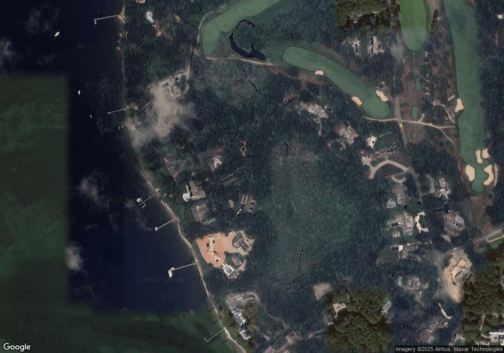
Map
- 440 Grand Island Dr
- 179 Pineleigh Path
- Lot 288 Seapuit River Rd A
- Lot 289 Seapuit River Road B
- Lot 289 Seapuit River B Rd
- Lot 288 Seapuit River A Rd
- 33 Oyster Place Rd
- 994 Main St
- 93 Oyster Way
- 14 Indian Trail
- 120 Ocean View Ave
- 1089 Main St
- 1081 Main St
- 30 Wings Ln
- 134 School St
- 174 Little River Rd
- 205 Little River Rd
- 1331 Main St
- 71 Sand Point
- 6 Cedar St
- 47 Sunset Point
- 250 Windswept Way
- 43 Sunset Ln
- 47 Sunset Ln
- 59 Windswept Way
- 51 Sunset Ln
- 51 Sunset Point
- 220 Windswept Way
- 285 Windswept Way
- 285 Windswept Way
- 315 Windswept Way
- 196 Windswept Way
- 65 Pirates Cove
- 345 Windswept Dr
- 63 Pirates Cove
- 63 Pirates Cove
- 345 Windswept Way
- 186 Windswept Way
- 186 Windswept Way
- 350 Windswept Way
Ask me questions while you tour the home.