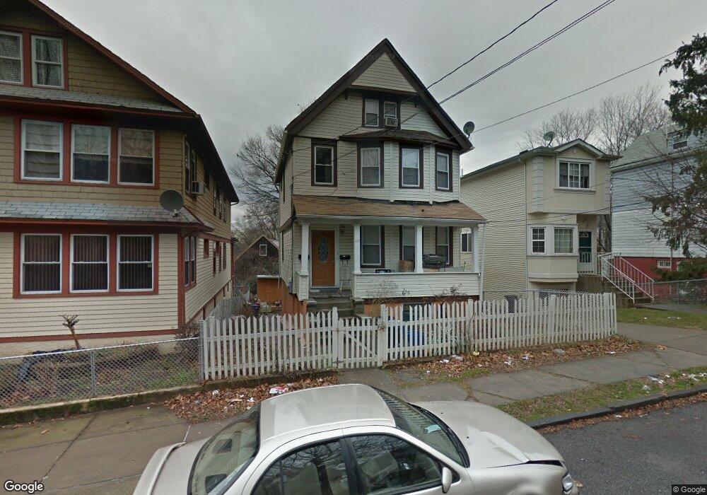
43 Taft Ave Staten Island, NY 10301
New Brighton NeighborhoodEstimated Value: $548,582 - $675,000
--
Bed
--
Bath
2,010
Sq Ft
$303/Sq Ft
Est. Value
About This Home
This home is located at 43 Taft Ave, Staten Island, NY 10301 and is currently estimated at $609,896, approximately $303 per square foot. 43 Taft Ave is a home located in Richmond County with nearby schools including P.S. 31 - William T. Davis, Is 61 William A Morris, and Curtis High School.
Ownership History
Date
Name
Owned For
Owner Type
Purchase Details
Closed on
Apr 23, 2003
Sold by
Mcbride Sargent B and Mcbride Edwin M
Bought by
Nelson Lucian and Mcbride Sargent B
Current Estimated Value
Home Financials for this Owner
Home Financials are based on the most recent Mortgage that was taken out on this home.
Original Mortgage
$166,500
Interest Rate
5.69%
Mortgage Type
Purchase Money Mortgage
Purchase Details
Closed on
Nov 16, 1995
Sold by
Mcbride Maryann
Bought by
Mcbride Edwin M and Mcbride Sargent B
Home Financials for this Owner
Home Financials are based on the most recent Mortgage that was taken out on this home.
Original Mortgage
$93,000
Interest Rate
7.31%
Create a Home Valuation Report for This Property
The Home Valuation Report is an in-depth analysis detailing your home's value as well as a comparison with similar homes in the area
Home Values in the Area
Average Home Value in this Area
Purchase History
| Date | Buyer | Sale Price | Title Company |
|---|---|---|---|
| Nelson Lucian | -- | The Judicial Title Ins Agenc | |
| Mcbride Edwin M | -- | -- |
Source: Public Records
Mortgage History
| Date | Status | Borrower | Loan Amount |
|---|---|---|---|
| Closed | Nelson Lucian | $166,500 | |
| Closed | Mcbride Edwin M | $93,000 |
Source: Public Records
Tax History Compared to Growth
Tax History
| Year | Tax Paid | Tax Assessment Tax Assessment Total Assessment is a certain percentage of the fair market value that is determined by local assessors to be the total taxable value of land and additions on the property. | Land | Improvement |
|---|---|---|---|---|
| 2025 | $4,576 | $36,900 | $7,606 | $29,294 |
| 2024 | $4,576 | $34,440 | $7,701 | $26,739 |
| 2023 | $4,576 | $22,784 | $6,748 | $16,036 |
| 2022 | $4,291 | $31,980 | $11,640 | $20,340 |
| 2021 | $4,478 | $29,160 | $11,640 | $17,520 |
| 2020 | $4,253 | $30,180 | $11,640 | $18,540 |
| 2019 | $3,972 | $27,780 | $11,640 | $16,140 |
| 2018 | $3,870 | $18,987 | $6,963 | $12,024 |
| 2017 | $3,652 | $17,914 | $8,435 | $9,479 |
| 2016 | $3,545 | $17,733 | $9,149 | $8,584 |
| 2015 | $3,037 | $16,744 | $7,728 | $9,016 |
| 2014 | $3,037 | $15,823 | $6,267 | $9,556 |
Source: Public Records
Map
Nearby Homes
- 75 Taft Ave
- 93 Taft Ave
- 118 Hendricks Ave
- 181 Benziger Ave
- 138 Hendricks Ave
- 301 Westervelt Ave
- 12 Pauw St
- 203 York Ave
- 61 York Ave
- 135 Highview Ave
- 102 Winter Ave
- 344 Westervelt Ave
- 20 Winter Ave
- 19 Scribner Ave
- 31 Crescent Ave
- 32 Scribner Ave
- 0 Van Tuyl St
- 416 Westervelt Ave
- 50 Fort Place Unit B3C
- 50 Fort Place Unit A6B