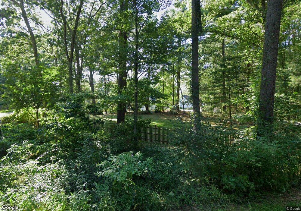
43 Todd Pond Rd Lincoln, MA 01773
Estimated Value: $645,935 - $706,000
3
Beds
2
Baths
1,682
Sq Ft
$406/Sq Ft
Est. Value
About This Home
This home is located at 43 Todd Pond Rd, Lincoln, MA 01773 and is currently estimated at $682,734, approximately $405 per square foot. 43 Todd Pond Rd is a home located in Middlesex County with nearby schools including Lincoln-Sudbury Regional High School and Tremont School.
Ownership History
Date
Name
Owned For
Owner Type
Purchase Details
Closed on
Oct 2, 2001
Sold by
Roeher Marcia A
Bought by
Whitman Lawrence W and Whitman Joanne S
Current Estimated Value
Home Financials for this Owner
Home Financials are based on the most recent Mortgage that was taken out on this home.
Original Mortgage
$190,000
Outstanding Balance
$74,482
Interest Rate
6.91%
Mortgage Type
Purchase Money Mortgage
Estimated Equity
$608,252
Purchase Details
Closed on
Jun 29, 1994
Sold by
Comstock Charles B
Bought by
Roehr Marcia A
Purchase Details
Closed on
Jan 15, 1988
Sold by
Jennings Charles E
Bought by
Comstock Charles B
Home Financials for this Owner
Home Financials are based on the most recent Mortgage that was taken out on this home.
Original Mortgage
$213,000
Interest Rate
10.58%
Mortgage Type
Purchase Money Mortgage
Create a Home Valuation Report for This Property
The Home Valuation Report is an in-depth analysis detailing your home's value as well as a comparison with similar homes in the area
Home Values in the Area
Average Home Value in this Area
Purchase History
| Date | Buyer | Sale Price | Title Company |
|---|---|---|---|
| Whitman Lawrence W | $348,000 | -- | |
| Roehr Marcia A | $248,000 | -- | |
| Comstock Charles B | $265,000 | -- |
Source: Public Records
Mortgage History
| Date | Status | Borrower | Loan Amount |
|---|---|---|---|
| Open | Comstock Charles B | $190,000 | |
| Previous Owner | Comstock Charles B | $180,000 | |
| Previous Owner | Comstock Charles B | $213,000 |
Source: Public Records
Tax History Compared to Growth
Tax History
| Year | Tax Paid | Tax Assessment Tax Assessment Total Assessment is a certain percentage of the fair market value that is determined by local assessors to be the total taxable value of land and additions on the property. | Land | Improvement |
|---|---|---|---|---|
| 2025 | $68 | $533,000 | $0 | $533,000 |
| 2024 | $6,415 | $497,700 | $0 | $497,700 |
| 2023 | $6,885 | $494,600 | $0 | $494,600 |
| 2022 | $5,962 | $399,300 | $0 | $399,300 |
| 2021 | $5,842 | $376,400 | $0 | $376,400 |
| 2020 | $5,782 | $376,400 | $0 | $376,400 |
| 2019 | $4,612 | $328,700 | $0 | $328,700 |
| 2018 | $4,470 | $328,700 | $0 | $328,700 |
| 2017 | $4,300 | $313,900 | $0 | $313,900 |
| 2016 | $4,349 | $310,900 | $0 | $310,900 |
| 2015 | $4,609 | $325,700 | $0 | $325,700 |
| 2014 | $4,737 | $328,700 | $0 | $328,700 |
Source: Public Records
Map
Nearby Homes
- 130 Tower Rd
- 44 Baker Bridge Rd
- 152 S Great Rd
- 60 Baker Bridge Rd
- 244 Lincoln Rd
- 22 Lincoln Rd
- 3 Clifford Ln
- 93 Old Sudbury Rd
- 6 Clifford Ln
- 19 Conant Rd
- 12 Laurel Dr
- 33 Old Concord Rd
- 75 Westland Rd
- 121 Cherry Brook Rd
- 5 Peakes Ln
- 426 Conant Rd
- 416 Conant Rd
- 51 Willard Rd
- 134 Chestnut Cir
- 50 Windingwood Ln
- 40 Todd Pond Rd
- 41 Todd Pond Rd
- 39 Todd Pond Rd
- 42 Todd Pond Rd
- 42 Todd Pond Rd Unit 42
- 38 Todd Pond Rd
- 36 Todd Pond Rd
- 35 Todd Pond Rd
- 34 Todd Pond Rd
- 33 Todd Pond Rd
- 33 Todd Pond Rd Unit 33
- 63 Todd Pond Rd
- 48 Todd Pond Rd
- 46 Todd Pond Rd
- 45 Todd Pond Rd
- 45 Todd Pond Rd Unit 45
- 48 Todd Pond Rd Unit 48,48
- 51 Greenridge Ln
- 27 Greenridge Ln
- 27 Greenridge Ln Unit 13
