Estimated Value: $401,525 - $507,000
3
Beds
1
Bath
1,044
Sq Ft
$438/Sq Ft
Est. Value
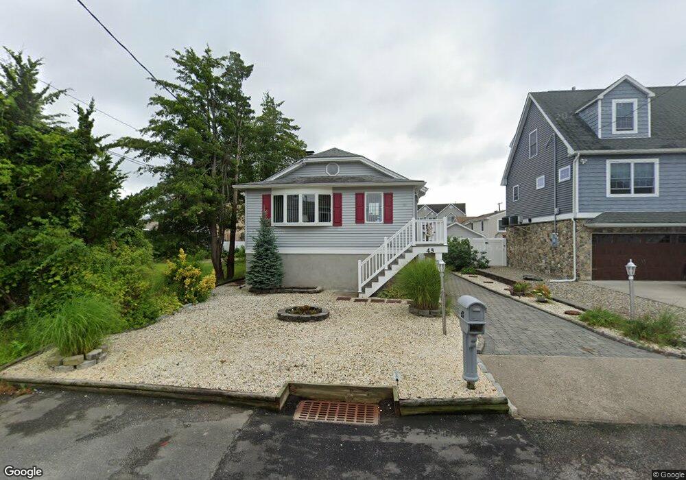
About This Home
This home is located at 43 Vanard Dr, Brick, NJ 08723 and is currently estimated at $456,881, approximately $437 per square foot. 43 Vanard Dr is a home located in Ocean County with nearby schools including Osbornville Elementary School, Lake Riviera Middle School, and Brick Township High School.
Ownership History
Date
Name
Owned For
Owner Type
Purchase Details
Closed on
Jun 20, 2013
Sold by
Woytowicz Edward J
Bought by
Woytowicz Edward J
Current Estimated Value
Purchase Details
Closed on
Nov 15, 2012
Sold by
Guzzi Jsoeph C and Guzzi Carol A
Bought by
Woytowicz Frances J and Woytowicz Edward J
Purchase Details
Closed on
Oct 15, 1998
Sold by
Woytowicz Edward J and Guzzi Rose
Bought by
Guzzi Joseph C and Guzzi Carol A
Create a Home Valuation Report for This Property
The Home Valuation Report is an in-depth analysis detailing your home's value as well as a comparison with similar homes in the area
Home Values in the Area
Average Home Value in this Area
Purchase History
| Date | Buyer | Sale Price | Title Company |
|---|---|---|---|
| Woytowicz Edward J | -- | None Available | |
| Woytowicz Frances J | -- | None Available | |
| Guzzi Joseph C | -- | -- |
Source: Public Records
Tax History
| Year | Tax Paid | Tax Assessment Tax Assessment Total Assessment is a certain percentage of the fair market value that is determined by local assessors to be the total taxable value of land and additions on the property. | Land | Improvement |
|---|---|---|---|---|
| 2025 | $5,455 | $211,200 | $123,000 | $88,200 |
| 2024 | $4,935 | $211,200 | $123,000 | $88,200 |
Source: Public Records
Map
Nearby Homes
Your Personal Tour Guide
Ask me questions while you tour the home.