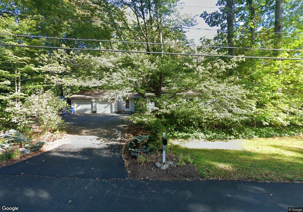
43 Walbridge Hill Rd Tolland, CT 06084
Estimated Value: $323,000 - $344,935
3
Beds
2
Baths
1,204
Sq Ft
$277/Sq Ft
Est. Value
About This Home
This home is located at 43 Walbridge Hill Rd, Tolland, CT 06084 and is currently estimated at $332,984, approximately $276 per square foot. 43 Walbridge Hill Rd is a home located in Tolland County with nearby schools including Birch Grove Primary School, Tolland Intermediate School, and Tolland Middle School.
Ownership History
Date
Name
Owned For
Owner Type
Purchase Details
Closed on
Jan 27, 1998
Sold by
Maffessoli Vincetn
Bought by
Viera Julie
Current Estimated Value
Purchase Details
Closed on
Sep 3, 1991
Sold by
Donaldson Harlan and Donaldson Muriel
Bought by
Maffessoli Vincent and Maffessoli Curtis
Create a Home Valuation Report for This Property
The Home Valuation Report is an in-depth analysis detailing your home's value as well as a comparison with similar homes in the area
Home Values in the Area
Average Home Value in this Area
Purchase History
| Date | Buyer | Sale Price | Title Company |
|---|---|---|---|
| Viera Julie | $115,000 | -- | |
| Viera Julie | $115,000 | -- | |
| Maffessoli Vincent | $140,000 | -- | |
| Maffessoli Vincent | $140,000 | -- |
Source: Public Records
Mortgage History
| Date | Status | Borrower | Loan Amount |
|---|---|---|---|
| Open | Maffessoli Vincent | $144,000 | |
| Closed | Maffessoli Vincent | $25,000 | |
| Closed | Maffessoli Vincent | $101,000 |
Source: Public Records
Tax History Compared to Growth
Tax History
| Year | Tax Paid | Tax Assessment Tax Assessment Total Assessment is a certain percentage of the fair market value that is determined by local assessors to be the total taxable value of land and additions on the property. | Land | Improvement |
|---|---|---|---|---|
| 2025 | $5,321 | $195,700 | $60,500 | $135,200 |
| 2024 | $4,880 | $129,200 | $57,600 | $71,600 |
| 2023 | $4,823 | $129,200 | $57,600 | $71,600 |
| 2022 | $4,726 | $129,200 | $57,600 | $71,600 |
| 2021 | $4,795 | $129,200 | $57,600 | $71,600 |
| 2020 | $4,658 | $129,200 | $57,600 | $71,600 |
| 2019 | $4,449 | $123,400 | $59,400 | $64,000 |
| 2018 | $4,319 | $123,400 | $59,400 | $64,000 |
| 2017 | $4,219 | $123,400 | $59,400 | $64,000 |
| 2016 | $4,219 | $123,400 | $59,400 | $64,000 |
| 2015 | $4,117 | $123,400 | $59,400 | $64,000 |
| 2014 | $4,167 | $134,200 | $66,100 | $68,100 |
Source: Public Records
Map
Nearby Homes
- 4 Randy Rd
- 46 Walbridge Hill Rd
- 132 Virginia Ln
- 126 Virginia Ln
- 5 Randy Rd
- 57 Walbridge Hill Rd
- 56 Walbridge Hill Rd
- 125 Virginia Ln
- 136 Virginia Ln
- 118 Virginia Ln
- 137 Virginia Ln
- 25 Walbridge Hill Rd
- 32 Walbridge Hill Rd
- 12 Hughs Rd
- 17 Walbridge Hill Rd
- 142 Virginia Ln
- 114 Virginia Ln
- 115 Virginia Ln
- 11 Hughs Rd
- 16 Hughs Rd