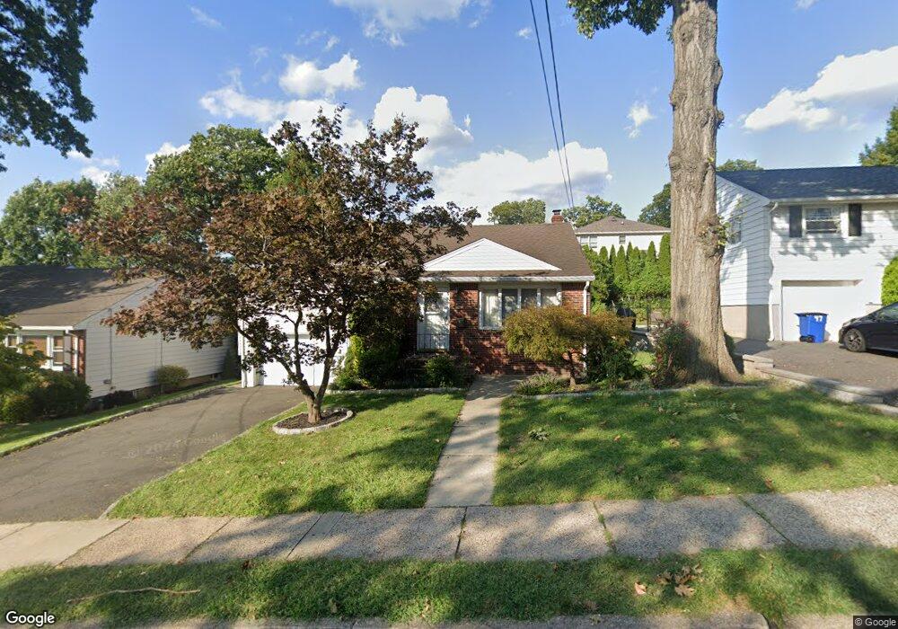
43 Walter Ave Hasbrouck Heights, NJ 07604
Estimated Value: $616,000 - $752,000
Studio
--
Bath
1,672
Sq Ft
$407/Sq Ft
Est. Value
About This Home
This home is located at 43 Walter Ave, Hasbrouck Heights, NJ 07604 and is currently estimated at $680,023, approximately $406 per square foot. 43 Walter Ave is a home located in Bergen County with nearby schools including Hasbrouck Heights High School and Corpus Christi School.
Ownership History
Date
Name
Owned For
Owner Type
Purchase Details
Closed on
Sep 28, 2007
Sold by
Vaag Joel A and Vaag Vannessa M
Bought by
Kuzviwanz Stan
Current Estimated Value
Purchase Details
Closed on
Dec 5, 1997
Sold by
Damato Albert V and Damato Nadine
Bought by
Vaag Joel A and Castoro Vanessa M
Home Financials for this Owner
Home Financials are based on the most recent Mortgage that was taken out on this home.
Original Mortgage
$184,500
Interest Rate
7.09%
Create a Home Valuation Report for This Property
The Home Valuation Report is an in-depth analysis detailing your home's value as well as a comparison with similar homes in the area
Home Values in the Area
Average Home Value in this Area
Purchase History
| Date | Buyer | Sale Price | Title Company |
|---|---|---|---|
| Kuzviwanz Stan | $462,000 | -- | |
| Vaag Joel A | $205,000 | -- |
Source: Public Records
Mortgage History
| Date | Status | Borrower | Loan Amount |
|---|---|---|---|
| Previous Owner | Vaag Joel A | $184,500 |
Source: Public Records
Tax History
| Year | Tax Paid | Tax Assessment Tax Assessment Total Assessment is a certain percentage of the fair market value that is determined by local assessors to be the total taxable value of land and additions on the property. | Land | Improvement |
|---|---|---|---|---|
| 2025 | $12,627 | $494,200 | $233,500 | $260,700 |
| 2024 | $12,264 | $494,200 | $233,500 | $260,700 |
| 2023 | $12,082 | $475,900 | $223,500 | $252,400 |
| 2022 | $12,082 | $448,800 | $206,000 | $242,800 |
| 2021 | $11,734 | $415,500 | $193,500 | $222,000 |
| 2020 | $11,843 | $411,800 | $186,000 | $225,800 |
| 2019 | $11,514 | $404,700 | $183,500 | $221,200 |
| 2018 | $11,337 | $397,500 | $181,000 | $216,500 |
| 2017 | $11,150 | $390,400 | $178,500 | $211,900 |
| 2016 | $11,964 | $394,200 | $168,500 | $225,700 |
| 2015 | $11,771 | $394,200 | $168,500 | $225,700 |
| 2014 | $11,448 | $394,200 | $168,500 | $225,700 |
Source: Public Records
Map
Nearby Homes
- 47 Franklin Ave
- 63 Raymond St
- 14 Jefferson Ave Unit 16
- 50 Henry St
- 125 Henry St
- 28 Logan Place
- 14 Passaic Ave
- 167 Kipp Ave
- 183 Terhune Ave Unit 3
- 183c Terhune Ave Unit C
- 163 Grove St
- 8800 Boulevard Unit 4B
- 8800 Boulevard Unit 7K
- 25 Roosevelt Dr
- 93 Richmond St
- 270 Hamilton Ave
- 117 Central Ave
- 4 Wesmont Dr Unit 1102
- 84 Richmond St
- 129 Eisenhower Ln Unit 2109
Your Personal Tour Guide
Ask me questions while you tour the home.