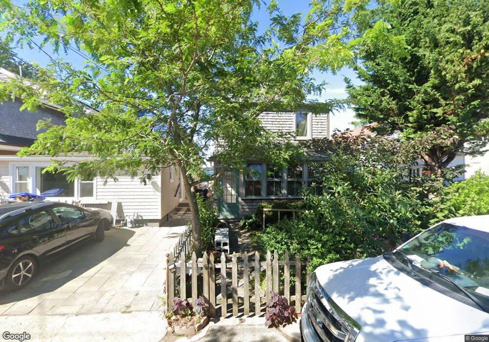
43 White Ave Riverside, RI 02915
Riverside NeighborhoodEstimated Value: $573,000 - $809,000
3
Beds
1
Bath
925
Sq Ft
$734/Sq Ft
Est. Value
About This Home
This home is located at 43 White Ave, Riverside, RI 02915 and is currently estimated at $678,625, approximately $733 per square foot. 43 White Ave is a home located in Providence County with nearby schools including East Providence High School, St Mary Academy-Bay View, and St Luke Elementary School.
Ownership History
Date
Name
Owned For
Owner Type
Purchase Details
Closed on
Nov 10, 2015
Sold by
Pfahning Robin H
Bought by
Balcetis Ramunas and Pfahning Robin H
Current Estimated Value
Purchase Details
Closed on
May 24, 2011
Sold by
Laurendeau Shirely A
Bought by
Pfahning Robin H
Purchase Details
Closed on
Aug 11, 1998
Sold by
Corrado Sabatino R and Corrado Frederick S
Bought by
Pfahning Robin H
Home Financials for this Owner
Home Financials are based on the most recent Mortgage that was taken out on this home.
Original Mortgage
$67,200
Interest Rate
6.92%
Mortgage Type
Purchase Money Mortgage
Create a Home Valuation Report for This Property
The Home Valuation Report is an in-depth analysis detailing your home's value as well as a comparison with similar homes in the area
Home Values in the Area
Average Home Value in this Area
Purchase History
| Date | Buyer | Sale Price | Title Company |
|---|---|---|---|
| Balcetis Ramunas | -- | -- | |
| Pfahning Robin H | -- | -- | |
| Pfahning Robin H | $84,000 | -- | |
| Balcetis Ramunas | -- | -- | |
| Pfahning Robin H | -- | -- | |
| Pfahning Robin H | $84,000 | -- |
Source: Public Records
Mortgage History
| Date | Status | Borrower | Loan Amount |
|---|---|---|---|
| Previous Owner | Pfahning Robin H | $89,300 | |
| Previous Owner | Pfahning Robin H | $67,200 |
Source: Public Records
Tax History Compared to Growth
Tax History
| Year | Tax Paid | Tax Assessment Tax Assessment Total Assessment is a certain percentage of the fair market value that is determined by local assessors to be the total taxable value of land and additions on the property. | Land | Improvement |
|---|---|---|---|---|
| 2025 | $9,506 | $727,300 | $394,800 | $332,500 |
| 2024 | $9,068 | $591,500 | $329,000 | $262,500 |
| 2023 | $8,731 | $591,500 | $329,000 | $262,500 |
| 2022 | $8,980 | $410,800 | $214,100 | $196,700 |
| 2021 | $8,832 | $410,800 | $212,900 | $197,900 |
| 2020 | $8,458 | $410,800 | $212,900 | $197,900 |
| 2019 | $8,224 | $410,800 | $212,900 | $197,900 |
| 2018 | $8,303 | $362,900 | $188,200 | $174,700 |
| 2017 | $8,118 | $362,900 | $188,200 | $174,700 |
| 2016 | $6,829 | $306,800 | $213,900 | $92,900 |
| 2015 | $4,494 | $195,800 | $107,700 | $88,100 |
| 2014 | $4,494 | $195,800 | $107,700 | $88,100 |
Source: Public Records
Map
Nearby Homes
- 45 White Ave
- 50 White Ave
- 47 White Ave
- 31 White Ave
- 49 White Ave
- 46 White Ave
- 46 White Ave
- 42 White Ave
- 53 White Ave
- 29 White Ave
- 55 White Ave
- 52 White Ave
- 54 White Ave
- 657 Bullocks Point Ave
- 557 Bullocks Point Ave
- 57 White Ave
- 635 Bullocks Ave
- 561 Bullocks Point Ave
- 635 Bullocks Point Ave
- 577 Bullocks Point Ave