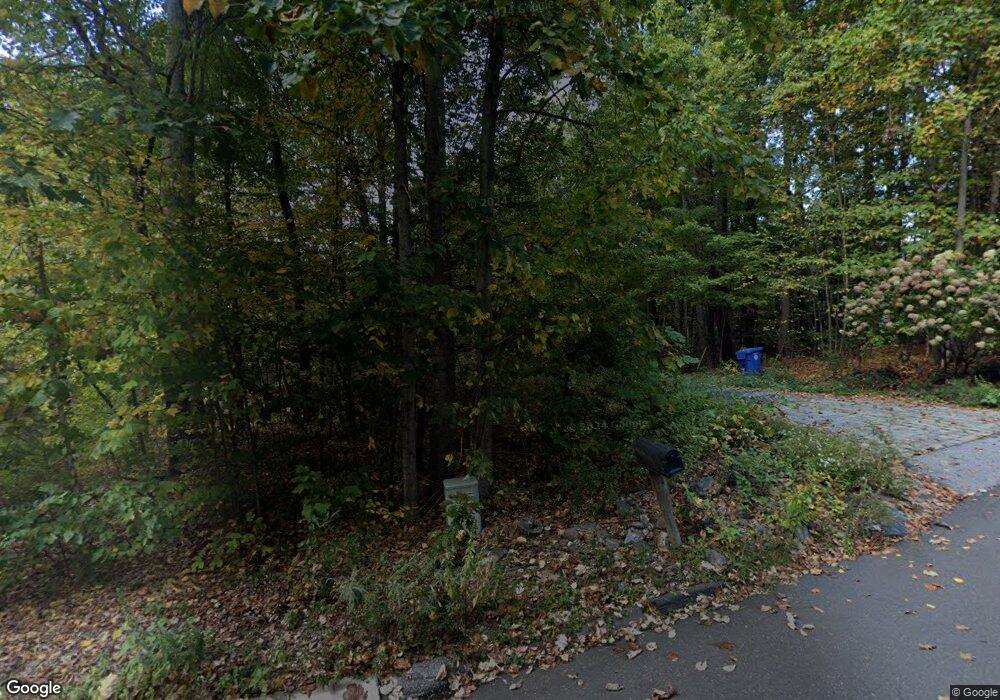
43 Wildcat Rd Burlington, CT 06013
Estimated Value: $719,000 - $921,000
3
Beds
3
Baths
2,633
Sq Ft
$306/Sq Ft
Est. Value
About This Home
This home is located at 43 Wildcat Rd, Burlington, CT 06013 and is currently estimated at $805,026, approximately $305 per square foot. 43 Wildcat Rd is a home with nearby schools including Lake Garda Elementary School, Har-Bur Middle School, and Lewis S. Mills High School.
Ownership History
Date
Name
Owned For
Owner Type
Purchase Details
Closed on
Nov 19, 2015
Sold by
Angelillo Tracy C
Bought by
Angelillo Robert M
Current Estimated Value
Purchase Details
Closed on
Feb 27, 2013
Sold by
Angelillo Robert
Bought by
Angelillo Robert M and Angelillo Tracy C
Create a Home Valuation Report for This Property
The Home Valuation Report is an in-depth analysis detailing your home's value as well as a comparison with similar homes in the area
Home Values in the Area
Average Home Value in this Area
Purchase History
| Date | Buyer | Sale Price | Title Company |
|---|---|---|---|
| Angelillo Robert M | -- | -- | |
| Angelillo Robert M | -- | -- | |
| Angelillo Robert M | -- | -- | |
| Angelillo Robert M | -- | -- |
Source: Public Records
Mortgage History
| Date | Status | Borrower | Loan Amount |
|---|---|---|---|
| Open | Angelillo Robert M | $411,000 | |
| Previous Owner | Angelillo Robert M | $420,000 |
Source: Public Records
Tax History
| Year | Tax Paid | Tax Assessment Tax Assessment Total Assessment is a certain percentage of the fair market value that is determined by local assessors to be the total taxable value of land and additions on the property. | Land | Improvement |
|---|---|---|---|---|
| 2025 | $12,904 | $485,100 | $117,320 | $367,780 |
| 2024 | $12,564 | $485,100 | $117,320 | $367,780 |
| 2023 | $11,437 | $355,180 | $125,930 | $229,250 |
| 2022 | $11,614 | $355,180 | $125,930 | $229,250 |
| 2021 | $11,863 | $355,180 | $125,930 | $229,250 |
| 2020 | $11,830 | $355,250 | $125,930 | $229,320 |
| 2019 | $11,721 | $355,180 | $125,930 | $229,250 |
| 2018 | $11,616 | $357,420 | $125,930 | $231,490 |
| 2017 | $11,437 | $357,420 | $125,930 | $231,490 |
| 2016 | $11,294 | $357,420 | $125,930 | $231,490 |
| 2015 | $11,116 | $357,420 | $125,930 | $231,490 |
| 2014 | $10,669 | $357,420 | $125,930 | $231,490 |
Source: Public Records
Map
Nearby Homes
- 60 Wildcat Rd
- 229 Jerome Ave
- 10 Stone Ridge Crossing
- 39 Jerome Ave
- 419 Jerome Ave
- 6 Pine Hill Rd
- 49 Siegas Rd
- 50 Woodhaven Dr
- 358 George Washington Turnpike
- 361D George Washington Turnpike
- Map Block # 1-04-8 ( George Washington Turnpike
- 22 Angelas Way
- 52 Wood Creek Rd
- 12 Woodside St
- 10 School St
- 16 Strong St
- 26 George Washington Turnpike
- 66 Intervale Rd
- 15 Bittersweet Ln
- 84 Glen Eagle Dr
Your Personal Tour Guide
Ask me questions while you tour the home.
