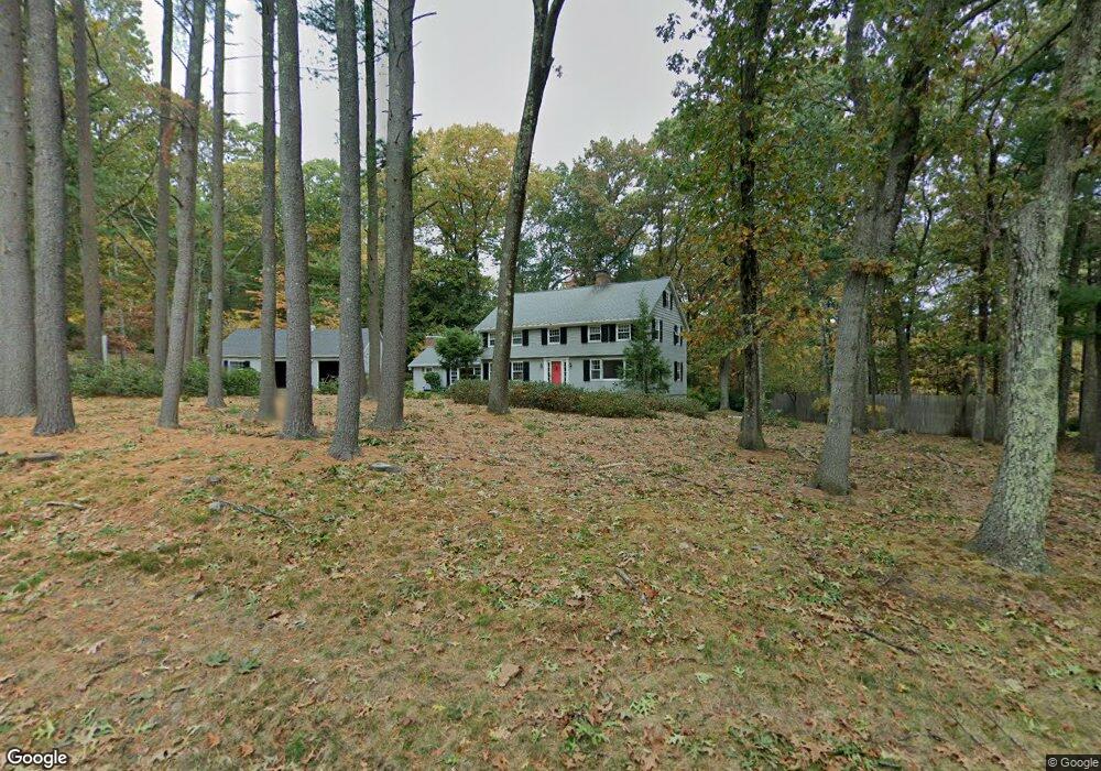
43 Winsor Rd Sudbury, MA 01776
Estimated Value: $1,167,000 - $1,550,000
3
Beds
3
Baths
2,918
Sq Ft
$446/Sq Ft
Est. Value
About This Home
This home is located at 43 Winsor Rd, Sudbury, MA 01776 and is currently estimated at $1,301,664, approximately $446 per square foot. 43 Winsor Rd is a home located in Middlesex County with nearby schools including Israel Loring Elementary School, Ephraim Curtis Middle School, and Lincoln-Sudbury Regional High School.
Ownership History
Date
Name
Owned For
Owner Type
Purchase Details
Closed on
Aug 8, 2022
Sold by
Sinclair Samuel J and Sinclair Tatum C
Bought by
Samuel Justin Sinclair T and Samuel Sinclair
Current Estimated Value
Purchase Details
Closed on
May 14, 2010
Sold by
Lopater Mavis E
Bought by
Sinclair Samuel J and Sinclair Tatum C
Home Financials for this Owner
Home Financials are based on the most recent Mortgage that was taken out on this home.
Original Mortgage
$417,000
Interest Rate
5.11%
Mortgage Type
Purchase Money Mortgage
Create a Home Valuation Report for This Property
The Home Valuation Report is an in-depth analysis detailing your home's value as well as a comparison with similar homes in the area
Home Values in the Area
Average Home Value in this Area
Purchase History
| Date | Buyer | Sale Price | Title Company |
|---|---|---|---|
| Samuel Justin Sinclair T | -- | None Available | |
| Sinclair Samuel J | $591,000 | -- | |
| Sinclair Samuel J | $591,000 | -- |
Source: Public Records
Mortgage History
| Date | Status | Borrower | Loan Amount |
|---|---|---|---|
| Previous Owner | Sinclair Samuel J | $412,000 | |
| Previous Owner | Sinclair Samuel J | $417,000 | |
| Previous Owner | Sinclair Samuel J | $417,000 |
Source: Public Records
Tax History Compared to Growth
Tax History
| Year | Tax Paid | Tax Assessment Tax Assessment Total Assessment is a certain percentage of the fair market value that is determined by local assessors to be the total taxable value of land and additions on the property. | Land | Improvement |
|---|---|---|---|---|
| 2025 | $15,870 | $1,084,000 | $461,600 | $622,400 |
| 2024 | $15,272 | $1,045,300 | $448,000 | $597,300 |
| 2023 | $14,426 | $914,800 | $414,800 | $500,000 |
| 2022 | $14,164 | $784,700 | $380,400 | $404,300 |
| 2021 | $13,535 | $718,800 | $380,400 | $338,400 |
| 2020 | $13,262 | $718,800 | $380,400 | $338,400 |
| 2019 | $12,874 | $718,800 | $380,400 | $338,400 |
| 2018 | $12,483 | $696,200 | $400,400 | $295,800 |
| 2017 | $12,214 | $688,500 | $395,600 | $292,900 |
| 2016 | $11,832 | $664,700 | $380,400 | $284,300 |
| 2015 | $11,338 | $644,200 | $365,600 | $278,600 |
| 2014 | $10,903 | $604,700 | $354,800 | $249,900 |
Source: Public Records
Map
Nearby Homes
- 94 Goodmans Hill Rd
- 23 Massasoit Ave
- 36 Concord Rd
- 216 Landham Rd
- 6 Old County Rd Unit 16
- 1011 Boston Post Rd
- 270 Old Lancaster Rd
- 0 Wagonwheel Rd
- 84 Hopestill Brown Rd
- 63 Landham Rd
- 89 Bridle Path
- 24 Woodland Rd
- 128 Nobscot Rd
- 25 Bridle Path
- 23 Cider Mill Rd
- 7 Adams Rd
- 427 Concord Rd
- 0 Robbins Rd
- 30 Nobscot Rd Unit 14
- 91 Eaton Rd W