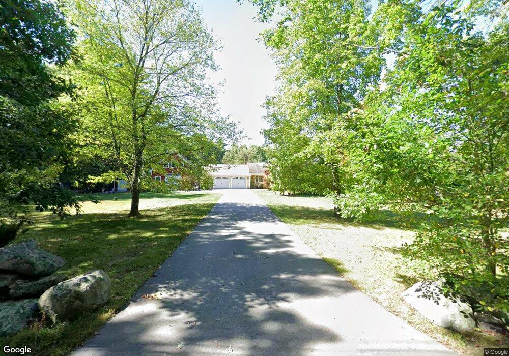
43 Woods Ct Dunstable, MA 01827
Estimated Value: $777,767 - $891,000
4
Beds
3
Baths
2,608
Sq Ft
$312/Sq Ft
Est. Value
About This Home
This home is located at 43 Woods Ct, Dunstable, MA 01827 and is currently estimated at $814,192, approximately $312 per square foot. 43 Woods Ct is a home located in Middlesex County with nearby schools including Groton Dunstable Regional High School, Pepperell Christian Academy, and Maple Dene & Moppet School.
Ownership History
Date
Name
Owned For
Owner Type
Purchase Details
Closed on
Nov 22, 2017
Sold by
Sniezek Andrew J and Sniezek Kathleen
Bought by
Sniezek Ft
Current Estimated Value
Purchase Details
Closed on
Aug 20, 2010
Sold by
Mcmillan Rt and Mcmillan Deborah
Bought by
Sniezek Andrew J and Sniezek Kathleen
Home Financials for this Owner
Home Financials are based on the most recent Mortgage that was taken out on this home.
Original Mortgage
$331,500
Interest Rate
4.63%
Mortgage Type
Purchase Money Mortgage
Purchase Details
Closed on
Jul 28, 1995
Sold by
Oneil Peter M and Oneil Cindy
Bought by
Craft William and Craft Deborah
Home Financials for this Owner
Home Financials are based on the most recent Mortgage that was taken out on this home.
Original Mortgage
$150,000
Interest Rate
7.56%
Mortgage Type
Purchase Money Mortgage
Create a Home Valuation Report for This Property
The Home Valuation Report is an in-depth analysis detailing your home's value as well as a comparison with similar homes in the area
Home Values in the Area
Average Home Value in this Area
Purchase History
| Date | Buyer | Sale Price | Title Company |
|---|---|---|---|
| Sniezek Ft | -- | -- | |
| Sniezek Andrew J | $418,500 | -- | |
| Craft William | $231,900 | -- |
Source: Public Records
Mortgage History
| Date | Status | Borrower | Loan Amount |
|---|---|---|---|
| Previous Owner | Sniezek Andrew J | $331,500 | |
| Previous Owner | Craft William | $143,000 | |
| Previous Owner | Craft William | $15,000 | |
| Previous Owner | Craft William | $150,000 |
Source: Public Records
Tax History Compared to Growth
Tax History
| Year | Tax Paid | Tax Assessment Tax Assessment Total Assessment is a certain percentage of the fair market value that is determined by local assessors to be the total taxable value of land and additions on the property. | Land | Improvement |
|---|---|---|---|---|
| 2025 | $8,922 | $648,900 | $221,200 | $427,700 |
| 2024 | $8,636 | $618,600 | $212,500 | $406,100 |
| 2023 | $8,614 | $575,400 | $212,500 | $362,900 |
| 2022 | $7,948 | $521,200 | $212,500 | $308,700 |
| 2021 | $7,895 | $481,100 | $192,000 | $289,100 |
| 2020 | $7,903 | $469,300 | $192,000 | $277,300 |
| 2019 | $7,730 | $453,100 | $192,000 | $261,100 |
| 2018 | $3,448 | $436,000 | $191,000 | $245,000 |
| 2017 | $7,370 | $433,000 | $191,000 | $242,000 |
| 2016 | $7,128 | $430,700 | $191,000 | $239,700 |
| 2015 | $6,856 | $409,800 | $160,000 | $249,800 |
| 2014 | $6,463 | $409,800 | $160,000 | $249,800 |
Source: Public Records
Map
Nearby Homes
- 8 Jamie Rd
- 120 1/2 Lowell Rd
- 120 1/2 Lowell Rd Unit B
- 120 1/2 Lowell Rd Unit A
- 14 Cross St
- 14 Nova Dr Unit A
- 46 Oak St
- 32 Bear Hill Rd
- 46 Lowell Rd
- 153 Off Pond St
- 23 Shawnee Rd Unit 23
- 34 Lowell Rd Unit 13
- 34 Lowell Rd Unit 12
- 38 Tarbell St Unit 5B
- 11 Tarbell St
- 139 Nashua Rd
- 102A Nashua Rd
- 109 Pond St
- 573 Longley Rd
- 147 Nashua Rd