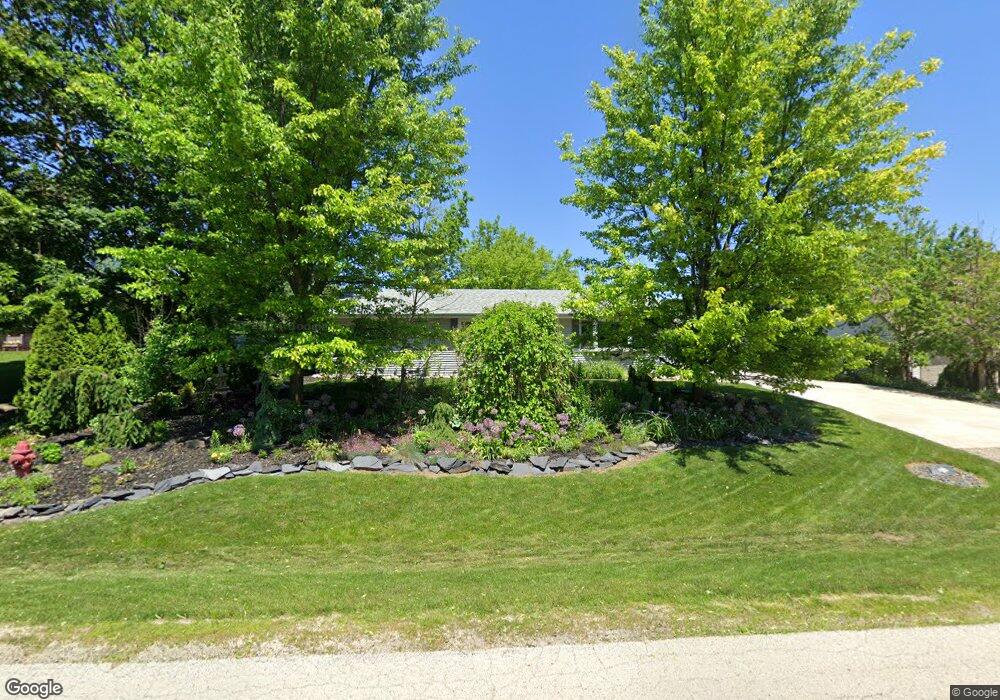
430 Barbara Ct Marengo, IL 60152
Estimated Value: $231,000 - $295,000
3
Beds
--
Bath
1,225
Sq Ft
$207/Sq Ft
Est. Value
About This Home
This home is located at 430 Barbara Ct, Marengo, IL 60152 and is currently estimated at $253,617, approximately $207 per square foot. 430 Barbara Ct is a home located in McHenry County with nearby schools including Riley Community Consolidated School District 18, Marengo Community High School, and Zion Lutheran School.
Ownership History
Date
Name
Owned For
Owner Type
Purchase Details
Closed on
Sep 18, 2023
Sold by
Solorzano Helen M
Bought by
Helen M Solorzano Trust
Current Estimated Value
Purchase Details
Closed on
Mar 17, 2004
Sold by
Berry Thomas Q and Berry Yvonne L
Bought by
Solorzano Helen M
Purchase Details
Closed on
Apr 13, 2000
Sold by
Berry Thomas Q and Berry Yvonne L
Bought by
Berry Thomas Q and Berry Yvonne L
Purchase Details
Closed on
Jul 30, 1999
Sold by
Schott Lois J
Bought by
Berry Thomas Q and Berry Yvonne L
Purchase Details
Closed on
Mar 23, 1998
Sold by
Schott Lois J
Bought by
Schott Lois J and Lois J Schott Trust #1
Create a Home Valuation Report for This Property
The Home Valuation Report is an in-depth analysis detailing your home's value as well as a comparison with similar homes in the area
Home Values in the Area
Average Home Value in this Area
Purchase History
| Date | Buyer | Sale Price | Title Company |
|---|---|---|---|
| Helen M Solorzano Trust | -- | None Listed On Document | |
| Solorzano Helen M | -- | -- | |
| Berry Thomas Q | -- | -- | |
| Berry Thomas Q | $133,000 | Fox Title Company | |
| Schott Lois J | -- | -- |
Source: Public Records
Tax History Compared to Growth
Tax History
| Year | Tax Paid | Tax Assessment Tax Assessment Total Assessment is a certain percentage of the fair market value that is determined by local assessors to be the total taxable value of land and additions on the property. | Land | Improvement |
|---|---|---|---|---|
| 2024 | $3,692 | $64,061 | $7,382 | $56,679 |
| 2023 | $4,341 | $57,085 | $6,578 | $50,507 |
| 2022 | $4,408 | $52,343 | $6,032 | $46,311 |
| 2021 | $3,253 | $48,497 | $5,589 | $42,908 |
| 2020 | $4,054 | $45,847 | $5,284 | $40,563 |
| 2019 | $4,287 | $43,881 | $5,057 | $38,824 |
| 2018 | $4,039 | $42,103 | $3,890 | $38,213 |
| 2017 | $3,963 | $40,699 | $3,760 | $36,939 |
| 2016 | $3,902 | $39,149 | $3,617 | $35,532 |
| 2013 | -- | $36,667 | $12,374 | $24,293 |
Source: Public Records
Map
Nearby Homes
- 832 Oak Manor Dr
- 422 Damen St
- 704 Echo (Lot 21) Trail
- 806 Echo (Lot 22) Trail
- 802 Echo (Lot 23) Trail
- 455 Park Dr
- 600 Spring Dr
- 459 Kennedy St
- 579 Johnson St
- 436 W Washington St
- 10 ac U S 20
- 509 Lynnann Ct
- 737 E Grant Hwy
- 0 Ratfield Rd
- 905 Randall Ct
- 214 S Prospect St
- 725 Cloverleaf Dr
- 726 Jackson St
- 935 Courtney Ln
- 906 N State St