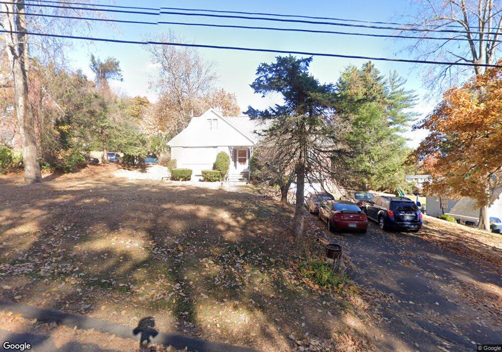
430 Blake Rd New Britain, CT 06053
Estimated Value: $339,564 - $444,000
3
Beds
2
Baths
2,124
Sq Ft
$184/Sq Ft
Est. Value
About This Home
This home is located at 430 Blake Rd, New Britain, CT 06053 and is currently estimated at $390,141, approximately $183 per square foot. 430 Blake Rd is a home located in Hartford County with nearby schools including Holmes School, Pulaski Middle School, and St. Francis of Assisi Middle School.
Create a Home Valuation Report for This Property
The Home Valuation Report is an in-depth analysis detailing your home's value as well as a comparison with similar homes in the area
Home Values in the Area
Average Home Value in this Area
Tax History
| Year | Tax Paid | Tax Assessment Tax Assessment Total Assessment is a certain percentage of the fair market value that is determined by local assessors to be the total taxable value of land and additions on the property. | Land | Improvement |
|---|---|---|---|---|
| 2025 | $7,943 | $202,720 | $59,290 | $143,430 |
| 2024 | $8,026 | $202,720 | $59,290 | $143,430 |
| 2023 | $7,760 | $202,720 | $59,290 | $143,430 |
| 2022 | $6,940 | $140,210 | $27,300 | $112,910 |
| 2021 | $6,940 | $140,210 | $27,300 | $112,910 |
| 2020 | $7,081 | $140,210 | $27,300 | $112,910 |
| 2019 | $7,081 | $140,210 | $27,300 | $112,910 |
| 2018 | $7,081 | $140,210 | $27,300 | $112,910 |
| 2017 | $6,734 | $133,350 | $24,920 | $108,430 |
| 2016 | $6,734 | $133,350 | $24,920 | $108,430 |
| 2015 | $6,534 | $133,350 | $24,920 | $108,430 |
| 2014 | $6,534 | $133,350 | $24,920 | $108,430 |
Source: Public Records
Map
Nearby Homes
- 89 Hazelmere Rd
- 1634 Stanley St
- 53 Park Dr
- 45 Tunxis St
- 497 Commonwealth Ave
- 482 Commonwealth Ave
- 182 Francis St
- 57 Merigold Dr
- 432 Mcclintock St
- 678 Farmington Ave
- 227 Amherst St
- 169 Country Club Rd
- 24 Pentlow Ave
- 337 Allen St
- 154 Allen St
- 1320 Stanley St
- 21 Skipper St
- 1235 East St Unit B
- 138 Bradford Walk Unit 138
- 45 Atlantic St Unit C
Your Personal Tour Guide
Ask me questions while you tour the home.