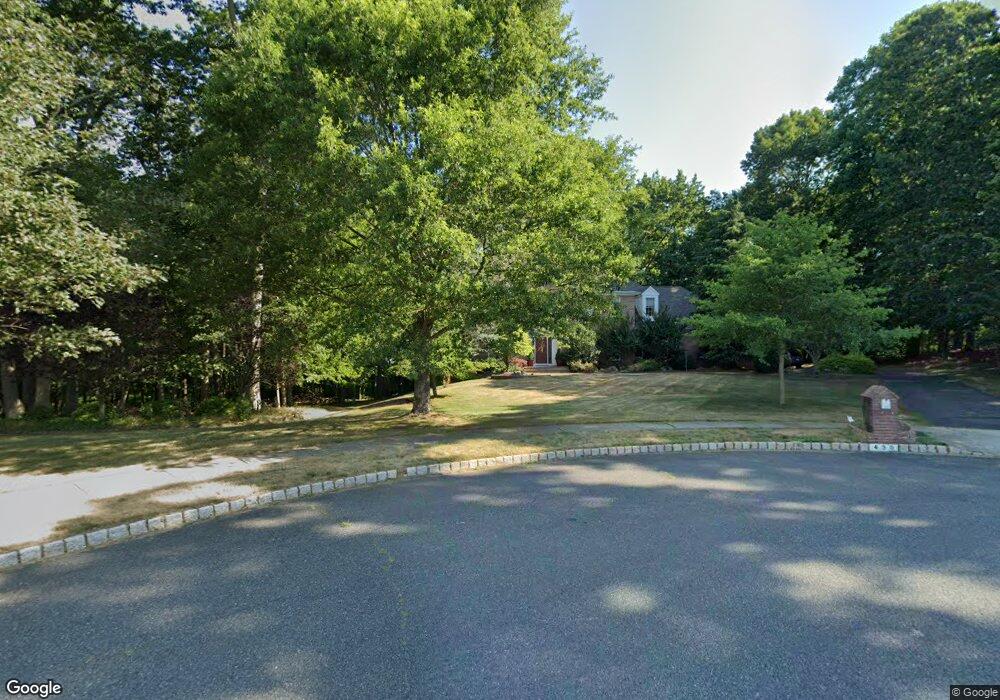
430 Bob Ferrell Ct Freehold, NJ 07728
Estimated Value: $1,333,000 - $1,412,000
5
Beds
5
Baths
4,300
Sq Ft
$319/Sq Ft
Est. Value
About This Home
This home is located at 430 Bob Ferrell Ct, Freehold, NJ 07728 and is currently estimated at $1,371,655, approximately $318 per square foot. 430 Bob Ferrell Ct is a home located in Monmouth County with nearby schools including C. Richard Applegate School, Dwight D. Eisenhower Middle School, and Freehold Township High School.
Ownership History
Date
Name
Owned For
Owner Type
Purchase Details
Closed on
Jan 3, 2024
Sold by
Stanislaw Stephen J
Bought by
Shah Khan S and Sikandar Rabia
Current Estimated Value
Purchase Details
Closed on
Aug 25, 2000
Sold by
Calton Homes Inc
Bought by
Stanislaw Stephen and Stanislaw Maria
Home Financials for this Owner
Home Financials are based on the most recent Mortgage that was taken out on this home.
Original Mortgage
$225,000
Interest Rate
8.1%
Create a Home Valuation Report for This Property
The Home Valuation Report is an in-depth analysis detailing your home's value as well as a comparison with similar homes in the area
Home Values in the Area
Average Home Value in this Area
Purchase History
| Date | Buyer | Sale Price | Title Company |
|---|---|---|---|
| Shah Khan S | $1,057,500 | Absolute Title | |
| Shah Khan S | $1,057,500 | Absolute Title | |
| Stanislaw Stephen | $627,505 | -- |
Source: Public Records
Mortgage History
| Date | Status | Borrower | Loan Amount |
|---|---|---|---|
| Previous Owner | Stanislaw Stephen | $225,000 |
Source: Public Records
Tax History Compared to Growth
Tax History
| Year | Tax Paid | Tax Assessment Tax Assessment Total Assessment is a certain percentage of the fair market value that is determined by local assessors to be the total taxable value of land and additions on the property. | Land | Improvement |
|---|---|---|---|---|
| 2025 | $20,699 | $1,152,400 | $397,600 | $754,800 |
| 2024 | $20,038 | $1,143,600 | $359,300 | $784,300 |
| 2023 | $20,038 | $1,080,200 | $371,300 | $708,900 |
| 2022 | $17,563 | $925,100 | $251,300 | $673,800 |
| 2021 | $17,563 | $849,400 | $227,300 | $622,100 |
| 2020 | $18,208 | $841,000 | $228,800 | $612,200 |
| 2019 | $18,224 | $840,200 | $220,300 | $619,900 |
| 2018 | $18,362 | $815,000 | $220,300 | $594,700 |
| 2017 | $18,535 | $810,800 | $220,300 | $590,500 |
| 2016 | $18,494 | $794,400 | $220,300 | $574,100 |
| 2015 | $17,147 | $756,400 | $190,500 | $565,900 |
| 2014 | $16,922 | $717,600 | $190,500 | $527,100 |
Source: Public Records
Map
Nearby Homes
- 35 Old Mill Rd
- 620 Kirwan Ct
- 3 Saxon Ct
- 7 Erte Place
- 72 Molly Pitcher Ln
- 254 Plum Dr
- 3501 Expedition St
- 97 Tangerine Dr
- 3502 Expedition St
- 3503 Expedition St
- 3504 Expedition St
- 3506 Expedition St
- 118 Pelican Ct
- 27 Hummingbird Ct
- 1006 Navigator Ave
- 7 Warbler Rd
- 23 Woodpecker Way
- 140 Palisade Dr
- Brookton Plan at The Parc at Marlboro - The Brookton Collection
- Monterey Plan at The Parc at Marlboro - The Monterey Collection
- 421 Bob Ferrell Ct
- 420 Bob Ferrell Ct
- 39 Old Mill Rd
- 45 Old Mill Rd
- 410 Bob Ferrell Ct
- 35 Old Mill Rd Unit 2
- 411 Bob Ferrell Ct
- 14 Miro Cir
- 16 Miro Cir
- 12 Miro Cir
- 660 Kirwan Ct
- 27 Old Mill Rd
- 10 Miro Cir
- 3 Barnett Way
- 401 Bob Ferrell Ct
- 650 Kirwan Ct
- 8 Miro Cir
- 1 Barnett Way
- 21 Andrews Dr
- 2 Nieman Square