430 Bunker Cir Saint George, UT 84770
Estimated Value: $587,000 - $824,000
3
Beds
2
Baths
2,421
Sq Ft
$285/Sq Ft
Est. Value
About This Home
This home is located at 430 Bunker Cir, Saint George, UT 84770 and is currently estimated at $689,107, approximately $284 per square foot. 430 Bunker Cir is a home located in Washington County with nearby schools including Bloomington Elementary School, Dixie Intermediate School, and Dixie Middle School.
Ownership History
Date
Name
Owned For
Owner Type
Purchase Details
Closed on
Oct 21, 2013
Sold by
Hobson William D
Bought by
Hobson Michael K and The Premier Childrens Trust
Current Estimated Value
Purchase Details
Closed on
Feb 19, 2009
Sold by
Sheffield Lynn D
Bought by
Sheffield Lynn D and Lynn D Sheffield Sr Trust
Purchase Details
Closed on
Jun 17, 2008
Sold by
Glissmeyer Joan L and Sheffield Lynn D
Bought by
Sheffield Lynn D
Home Financials for this Owner
Home Financials are based on the most recent Mortgage that was taken out on this home.
Original Mortgage
$424,650
Interest Rate
3.96%
Mortgage Type
Reverse Mortgage Home Equity Conversion Mortgage
Purchase Details
Closed on
Feb 24, 2005
Sold by
Glissmeyer Joan L
Bought by
Glissmeyer Joan L and Sheffield Lynn D
Create a Home Valuation Report for This Property
The Home Valuation Report is an in-depth analysis detailing your home's value as well as a comparison with similar homes in the area
Home Values in the Area
Average Home Value in this Area
Purchase History
| Date | Buyer | Sale Price | Title Company |
|---|---|---|---|
| Hobson Michael K | -- | United Title Services | |
| Hobson William D | -- | Mountain View Title Ogden | |
| Sheffield Lynn D | -- | None Available | |
| Sheffield Lynn D | -- | First American St George Mai | |
| Glissmeyer Joan L | -- | None Available |
Source: Public Records
Mortgage History
| Date | Status | Borrower | Loan Amount |
|---|---|---|---|
| Previous Owner | Sheffield Lynn D | $424,650 |
Source: Public Records
Tax History Compared to Growth
Tax History
| Year | Tax Paid | Tax Assessment Tax Assessment Total Assessment is a certain percentage of the fair market value that is determined by local assessors to be the total taxable value of land and additions on the property. | Land | Improvement |
|---|---|---|---|---|
| 2025 | $2,138 | $331,045 | $79,200 | $251,845 |
| 2023 | $2,246 | $335,610 | $74,800 | $260,810 |
| 2022 | $2,073 | $291,335 | $65,450 | $225,885 |
| 2021 | $1,896 | $397,300 | $106,300 | $291,000 |
| 2020 | $1,931 | $381,100 | $97,800 | $283,300 |
| 2019 | $1,822 | $351,300 | $97,800 | $253,500 |
| 2018 | $1,843 | $178,090 | $0 | $0 |
| 2017 | $1,609 | $155,540 | $0 | $0 |
| 2016 | $1,656 | $148,005 | $0 | $0 |
| 2015 | $1,691 | $145,035 | $0 | $0 |
| 2014 | $1,635 | $141,075 | $0 | $0 |
Source: Public Records
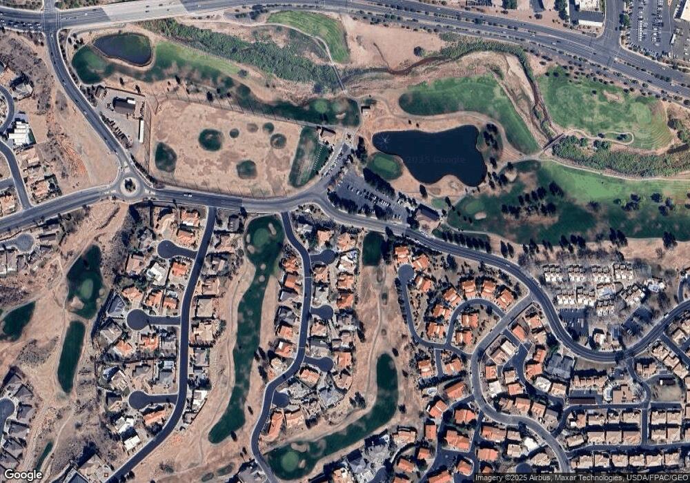
Map
Nearby Homes
- 300 W 2025 S Unit 26
- 2159 Fairway Hills Dr Unit 40
- 2159 Fairway Hills Dr
- 2150 Balboa Way Unit 9
- 2105 Balboa Way Unit 15
- 668 Lava Pointe Dr
- 667 Lava Pointe Dr Unit 5
- 667 Lava Pointe Dr
- 2244 Putters Cir
- 667 Lava Point Drive Lot #5 Dr
- 639 W Uxbridge Dr
- 0 Null Unit 25-263229
- 181 W Mojave Heights Dr
- 284 W Sir Monte Dr
- 0 Lava Pointe Dr Unit 25-260968
- 199 W 2025 S Unit 63
- 199 W 2025 S Unit 70
- 767 W Uxbridge Dr
- 646 W Verde Ridge Rd
- 433 W Bunker Cir
- 433 Bunker Cir
- 444 Bunker Cir
- 439 Bunker Cir
- 2021 Fairway Hills Dr
- 2049 Fairway Hills Dr
- 2042 Fairway Hills Dr
- 432 Caddy Cir
- 2063 Fairway Hills Dr
- 2 Fairway Hills Dr
- 64 Fairway Hills Dr
- 2051 Fairway Hills Dr
- 2056 Fairway Hills Dr Unit Lot 65
- 2056 Fairway Hills Dr
- 435 W Caddy Cir
- 429 Caddy Cir
- 2068 Fairway Hills Dr
- 429 Caddy Cir
- 300 W 2025 S Unit 9
- 300 W 2025 S Unit 8