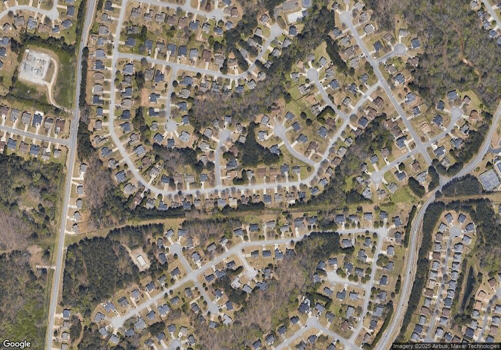
430 Cedarhurst Rd Unit 2 Lawrenceville, GA 30045
Estimated Value: $343,000 - $359,000
3
Beds
3
Baths
1,812
Sq Ft
$194/Sq Ft
Est. Value
About This Home
This home is located at 430 Cedarhurst Rd Unit 2, Lawrenceville, GA 30045 and is currently estimated at $350,669, approximately $193 per square foot. 430 Cedarhurst Rd Unit 2 is a home located in Gwinnett County with nearby schools including Simonton Elementary School, Jordan Middle School, and Central Gwinnett High School.
Ownership History
Date
Name
Owned For
Owner Type
Purchase Details
Closed on
Sep 19, 2019
Sold by
Mulbah Leo M
Bought by
Reeves Bessie S
Current Estimated Value
Purchase Details
Closed on
Mar 5, 2003
Sold by
Hogu Yuan and Hogu Veronica
Bought by
Reeves Bessie S
Home Financials for this Owner
Home Financials are based on the most recent Mortgage that was taken out on this home.
Original Mortgage
$141,338
Interest Rate
5.89%
Mortgage Type
FHA
Create a Home Valuation Report for This Property
The Home Valuation Report is an in-depth analysis detailing your home's value as well as a comparison with similar homes in the area
Home Values in the Area
Average Home Value in this Area
Purchase History
| Date | Buyer | Sale Price | Title Company |
|---|---|---|---|
| Reeves Bessie S | $184,300 | -- | |
| Reeves Bessie S | $143,600 | -- |
Source: Public Records
Mortgage History
| Date | Status | Borrower | Loan Amount |
|---|---|---|---|
| Previous Owner | Reeves Bessie S | $141,338 |
Source: Public Records
Tax History Compared to Growth
Tax History
| Year | Tax Paid | Tax Assessment Tax Assessment Total Assessment is a certain percentage of the fair market value that is determined by local assessors to be the total taxable value of land and additions on the property. | Land | Improvement |
|---|---|---|---|---|
| 2025 | $3,998 | $124,480 | $32,000 | $92,480 |
| 2024 | $3,970 | $117,240 | $24,000 | $93,240 |
| 2023 | $3,970 | $112,000 | $24,000 | $88,000 |
| 2022 | $3,820 | $112,000 | $24,000 | $88,000 |
| 2021 | $3,713 | $94,000 | $18,400 | $75,600 |
| 2020 | $3,422 | $85,400 | $16,000 | $69,400 |
| 2019 | $2,384 | $73,720 | $16,000 | $57,720 |
| 2018 | $2,383 | $73,720 | $16,000 | $57,720 |
| 2016 | $1,823 | $48,680 | $10,560 | $38,120 |
| 2015 | $1,838 | $48,680 | $10,560 | $38,120 |
| 2014 | $1,337 | $34,400 | $6,000 | $28,400 |
Source: Public Records
Map
Nearby Homes
- 370 Cedarhurst Rd
- 919 Madison Trace Ct
- 922 Madison Trace Ct
- 882 Madison View Ln
- 760 Mccart Rd
- 835 Madison Chase Way
- 530 Simonton Crest Dr Unit 1
- 415 Madison Chase Dr
- 705 Allens Landing Dr
- 1847 Shaker Falls Ln
- 395 Simonton Rd SE
- 1044 Simonton Hill Ct
- 1249 Simonton Glen Way
- 597 Paper Mill Rd
- 616 Simon Ive Dr
- 340 Windsor Brook Ln Unit 3
- 1045 Paper Creek Dr
- 100 Jacobs Farm Ln
- 102 Jacobs Farm Ln
- 22 Jacobs Farm Ln Unit 11
- 440 Cedarhurst Rd Unit 2
- 907 Keldron Ct
- 917 Keldron Ct Unit 2
- 450 Cedarhurst Rd
- 927 Keldron Ct Unit 1
- 926 Tilford Ct
- 947 Keldron Ct Unit 2
- 435 Cedarhurst Rd
- 460 Cedarhurst Rd Unit 2
- 425 Cedarhurst Rd
- 936 Tilford Ct
- 445 Cedarhurst Rd Unit 1
- 415 Cedarhurst Rd Unit 2
- 958 Tilford Ct
- 455 Cedarhurst Rd
- 390 Cedarhurst Rd
- 405 Cedarhurst Rd
- 938 Tilford Ct Unit 118
- 938 Tilford Ct
- 465 Cedarhurst Rd
