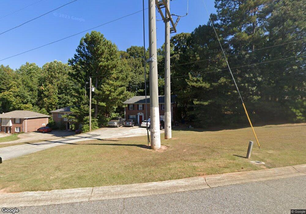
430 Charter Ct Lawrenceville, GA 30046
Estimated Value: $386,888 - $447,000
4
Beds
6
Baths
2,400
Sq Ft
$176/Sq Ft
Est. Value
About This Home
This home is located at 430 Charter Ct, Lawrenceville, GA 30046 and is currently estimated at $423,296, approximately $176 per square foot. 430 Charter Ct is a home located in Gwinnett County with nearby schools including Margaret Winn Holt Elementary School, Moore Middle School, and Central Gwinnett High School.
Ownership History
Date
Name
Owned For
Owner Type
Purchase Details
Closed on
Apr 6, 2005
Sold by
Bohon Carlton R and Bohon Delores
Bought by
Solomon Anna
Current Estimated Value
Home Financials for this Owner
Home Financials are based on the most recent Mortgage that was taken out on this home.
Original Mortgage
$156,348
Outstanding Balance
$78,789
Interest Rate
5.62%
Mortgage Type
New Conventional
Estimated Equity
$344,507
Create a Home Valuation Report for This Property
The Home Valuation Report is an in-depth analysis detailing your home's value as well as a comparison with similar homes in the area
Home Values in the Area
Average Home Value in this Area
Purchase History
| Date | Buyer | Sale Price | Title Company |
|---|---|---|---|
| Solomon Anna | $172,000 | -- |
Source: Public Records
Mortgage History
| Date | Status | Borrower | Loan Amount |
|---|---|---|---|
| Open | Solomon Anna | $156,348 |
Source: Public Records
Tax History Compared to Growth
Tax History
| Year | Tax Paid | Tax Assessment Tax Assessment Total Assessment is a certain percentage of the fair market value that is determined by local assessors to be the total taxable value of land and additions on the property. | Land | Improvement |
|---|---|---|---|---|
| 2025 | $4,550 | $144,000 | $20,000 | $124,000 |
| 2024 | $4,608 | $144,000 | $20,000 | $124,000 |
| 2023 | $4,608 | $151,920 | $20,000 | $131,920 |
| 2022 | $4,231 | $131,800 | $17,600 | $114,200 |
| 2021 | $3,216 | $98,040 | $13,200 | $84,840 |
| 2020 | $3,479 | $98,040 | $13,200 | $84,840 |
| 2019 | $2,784 | $78,320 | $13,200 | $65,120 |
| 2018 | $2,422 | $69,320 | $13,200 | $56,120 |
| 2016 | $1,447 | $41,240 | $10,400 | $30,840 |
| 2015 | $1,466 | $41,240 | $7,600 | $33,640 |
| 2014 | $702 | $19,600 | $6,000 | $13,600 |
Source: Public Records
Map
Nearby Homes
- 310 Bedford Bay Ln
- 880 Five Forks Trickum Rd
- 910 Lauren Kay Ct
- 792 Charleston Ct
- 951 Lauren Kay Ct
- 140 Leigh Kay Dr
- 296 Grist Mill Ln
- 36 Hickory Ln
- 285 Camden Park Dr
- 267 Firecreek Ridge
- 1024 Stone Mill Run
- 255 Camden Park Dr
- 431 Thornbush Trace
- 85 Hickory Grove Ave
- 35 Hickory Grove Ave
- 25 Hickory Grove Ave
- 16 Hickory Grove Ave
- 188 Pine Forest Dr
- 1097 Wildwood Ln
- 707 Sherwood Dr
- 402 Charter Ct
- 420 Charter Ct Unit 37
- 420 Charter Ct
- 300 Bedford Bay Ln
- 300 Bedford Bay Ln
- 410 Charter Ct
- 330 Bedford Bay Ln
- 851 Tybee Ct
- 383 Charter Ct
- 340 Bedford Bay Ln Unit 342
- 340 Bedford Bay Ln
- 340 Bedford Bay Ln Unit 2
- 340 Bedford Bay Ln Unit 340
- 400 Charter Ct
- 372 Bedford Bay Ln
- 312 Bedford Bay Ln
- 342 Bedford Bay Ln
- 333 Bedford Bay Ln
- 351 Bedford Bay Ln
- 350 Bedford Bay Ln Unit 1