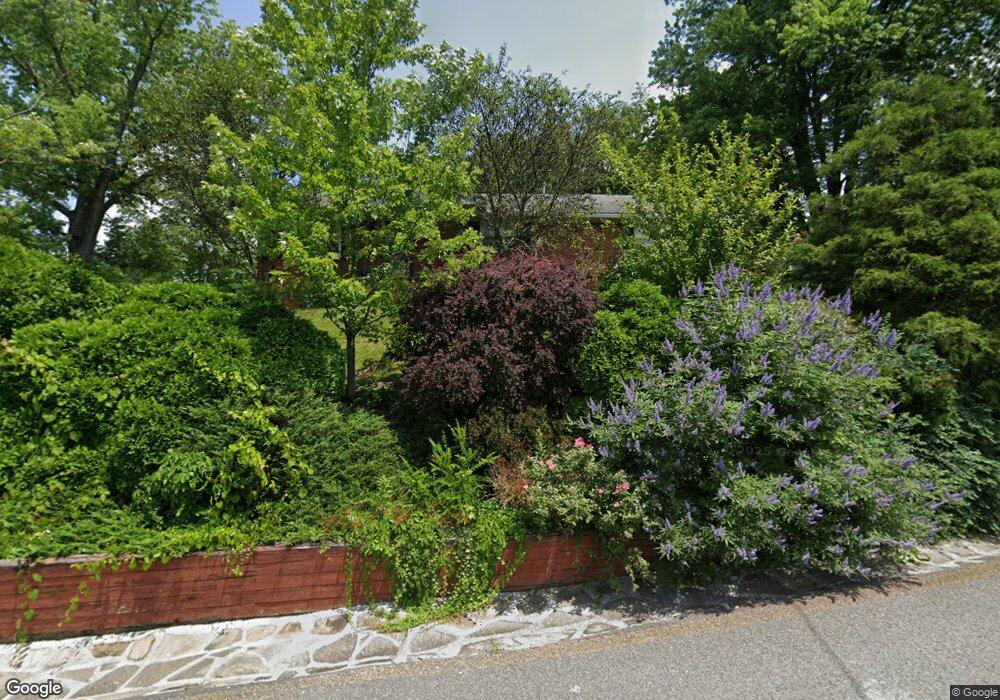
430 Civitan St Morgantown, WV 26505
Suncrest NeighborhoodEstimated Value: $363,000 - $402,000
3
Beds
3
Baths
2,156
Sq Ft
$179/Sq Ft
Est. Value
About This Home
This home is located at 430 Civitan St, Morgantown, WV 26505 and is currently estimated at $386,186, approximately $179 per square foot. 430 Civitan St is a home located in Monongalia County with nearby schools including Suncrest Elementary School, Suncrest Middle School, and Morgantown High School.
Ownership History
Date
Name
Owned For
Owner Type
Purchase Details
Closed on
Apr 17, 2018
Sold by
Mcmahon Theodore J and Jones Gwendolyn R
Bought by
Rosenhan Terri
Current Estimated Value
Home Financials for this Owner
Home Financials are based on the most recent Mortgage that was taken out on this home.
Original Mortgage
$230,400
Outstanding Balance
$198,140
Interest Rate
4.44%
Mortgage Type
New Conventional
Estimated Equity
$188,046
Create a Home Valuation Report for This Property
The Home Valuation Report is an in-depth analysis detailing your home's value as well as a comparison with similar homes in the area
Home Values in the Area
Average Home Value in this Area
Purchase History
| Date | Buyer | Sale Price | Title Company |
|---|---|---|---|
| Rosenhan Terri | $288,000 | None Available |
Source: Public Records
Mortgage History
| Date | Status | Borrower | Loan Amount |
|---|---|---|---|
| Open | Rosenhan Terri | $230,400 |
Source: Public Records
Tax History Compared to Growth
Tax History
| Year | Tax Paid | Tax Assessment Tax Assessment Total Assessment is a certain percentage of the fair market value that is determined by local assessors to be the total taxable value of land and additions on the property. | Land | Improvement |
|---|---|---|---|---|
| 2024 | $1,844 | $139,860 | $34,200 | $105,660 |
| 2023 | $1,840 | $137,400 | $34,200 | $103,200 |
| 2022 | $1,728 | $135,540 | $34,200 | $101,340 |
| 2021 | $1,735 | $135,540 | $34,200 | $101,340 |
| 2020 | $1,741 | $135,540 | $34,200 | $101,340 |
| 2019 | $1,768 | $136,860 | $34,200 | $102,660 |
| 2018 | $1,773 | $136,860 | $34,200 | $102,660 |
| 2017 | $1,869 | $143,700 | $32,280 | $111,420 |
| 2016 | $1,848 | $141,360 | $29,940 | $111,420 |
| 2015 | $1,801 | $142,800 | $29,940 | $112,860 |
| 2014 | $1,668 | $137,400 | $29,940 | $107,460 |
Source: Public Records
Map
Nearby Homes
- 1232 Lions Ave
- 3233 University Ave
- 478 Legion St
- 1287 Broadview Dr
- 3356 Collins Ferry Rd
- 429 Mansfield Ave
- 560 Plymouth Ave
- 481 Meridan St
- 1356 Bitonti St
- 1358 Bitonti St
- 563 Killarney Dr
- 529 Aspen St
- 34 Salthouse Ln
- 441 Kensington Ave
- 1081 Koontz Ave
- 440 Herman Ave
- 1053 Takoma St
- 532 & 532 1/2 Herman Ave
- 337 Patteson Dr
- 1497 Woodland Dr