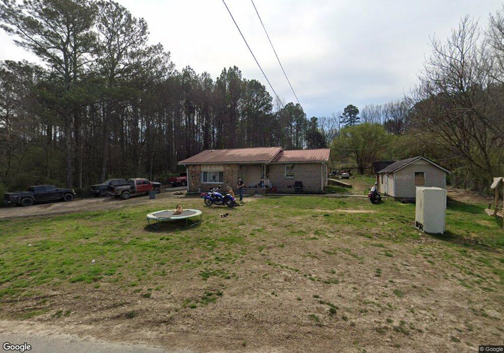
430 Dry Creek Rd Cedartown, GA 30125
Estimated Value: $183,000 - $214,000
2
Beds
1
Bath
1,180
Sq Ft
$167/Sq Ft
Est. Value
About This Home
This home is located at 430 Dry Creek Rd, Cedartown, GA 30125 and is currently estimated at $197,013, approximately $166 per square foot. 430 Dry Creek Rd is a home located in Polk County with nearby schools including Cedar Christian School.
Ownership History
Date
Name
Owned For
Owner Type
Purchase Details
Closed on
Oct 14, 1986
Sold by
Simmons G W
Bought by
Sorrells Herbert H
Current Estimated Value
Purchase Details
Closed on
Mar 18, 1983
Sold by
Adams Martha J
Bought by
Simmons G W
Purchase Details
Closed on
Dec 28, 1982
Sold by
Adams Jeff and Adams Martha
Bought by
Adams Martha J
Purchase Details
Closed on
Oct 24, 1978
Sold by
Parris Hoyt J
Bought by
Adams Jeff and Adams Martha
Purchase Details
Closed on
Oct 10, 1975
Sold by
Wright Ronald G
Bought by
Parris Hoyt J
Purchase Details
Closed on
Oct 16, 1974
Sold by
Lucas Rose Marie
Bought by
Wright Ronald G
Purchase Details
Closed on
Dec 28, 1967
Sold by
Popham Herman
Bought by
Lucas Rose Marie
Purchase Details
Closed on
Oct 13, 1965
Bought by
Popham Herman
Create a Home Valuation Report for This Property
The Home Valuation Report is an in-depth analysis detailing your home's value as well as a comparison with similar homes in the area
Home Values in the Area
Average Home Value in this Area
Purchase History
| Date | Buyer | Sale Price | Title Company |
|---|---|---|---|
| Sorrells Herbert H | -- | -- | |
| Simmons G W | -- | -- | |
| Adams Martha J | -- | -- | |
| Adams Jeff | -- | -- | |
| Parris Hoyt J | -- | -- | |
| Wright Ronald G | -- | -- | |
| Lucas Rose Marie | -- | -- | |
| Popham Herman | -- | -- |
Source: Public Records
Tax History Compared to Growth
Tax History
| Year | Tax Paid | Tax Assessment Tax Assessment Total Assessment is a certain percentage of the fair market value that is determined by local assessors to be the total taxable value of land and additions on the property. | Land | Improvement |
|---|---|---|---|---|
| 2024 | $980 | $46,862 | $6,702 | $40,160 |
| 2023 | $751 | $31,660 | $6,702 | $24,958 |
| 2022 | $609 | $25,642 | $4,468 | $21,174 |
| 2021 | $616 | $25,642 | $4,468 | $21,174 |
| 2020 | $618 | $25,642 | $4,468 | $21,174 |
| 2019 | $597 | $22,244 | $4,468 | $17,776 |
| 2018 | $593 | $21,516 | $4,468 | $17,048 |
| 2017 | $585 | $21,516 | $4,468 | $17,048 |
| 2016 | $611 | $22,448 | $5,400 | $17,048 |
| 2015 | $615 | $22,528 | $5,400 | $17,128 |
| 2014 | $619 | $22,528 | $5,400 | $17,128 |
Source: Public Records
Map
Nearby Homes
- 1849 Prior Station Rd Unit 76 ACRES
- 1849 Prior Station Rd
- 151 Friendship Rd
- 0 Mountain Home Rd Unit 1020-C 10351948
- 0 Mountain Home Rd Unit 1020-B 10351940
- 0 Mountain Home Rd Unit 1020-A 10351930
- 119 New Harmony Rd
- 255 Reynolds Rd
- 35 Harris Loop
- 123 Santa Claus Rd
- 382 5th St
- 293 4th St
- 516 Branch St
- 512 Branch St
- 508 Branch St
- 0 Cornelius Rd Unit 7646589
- 28 Summerwind Dr
- 39 Summerwind Dr
- 1200 N Cave Spring St
- 244 Valley Grove Rd
- 456 Dry Creek Rd
- 100 Edwards Rd
- 0 Sanders Cemetery Rd
- 0 Sanders Cemetery Rd Unit 8178630
- 0 Sanders Cemetery Rd Unit 7532714
- 0 Sanders Cemetery Rd Unit 7388794
- 0 Sanders Cemetery Rd Unit 7041106
- 0 Sanders Cemetery Rd Unit 3203051
- 0 Sanders Cemetery Rd Unit 8365348
- 449 Dry Creek Rd
- 499 Dry Creek Rd
- 477 Dry Creek Rd
- 496 Dry Creek Rd
- 73 Edwards Rd
- 142 Edwards Rd
- 185 Edwards Rd
- 552 Dry Creek Rd
- 105 Sanders Cemetery Rd
- 105 Sanders Cemetery Rd Unit 7 A B
- 105 Sanders Cemetery Rd Unit A