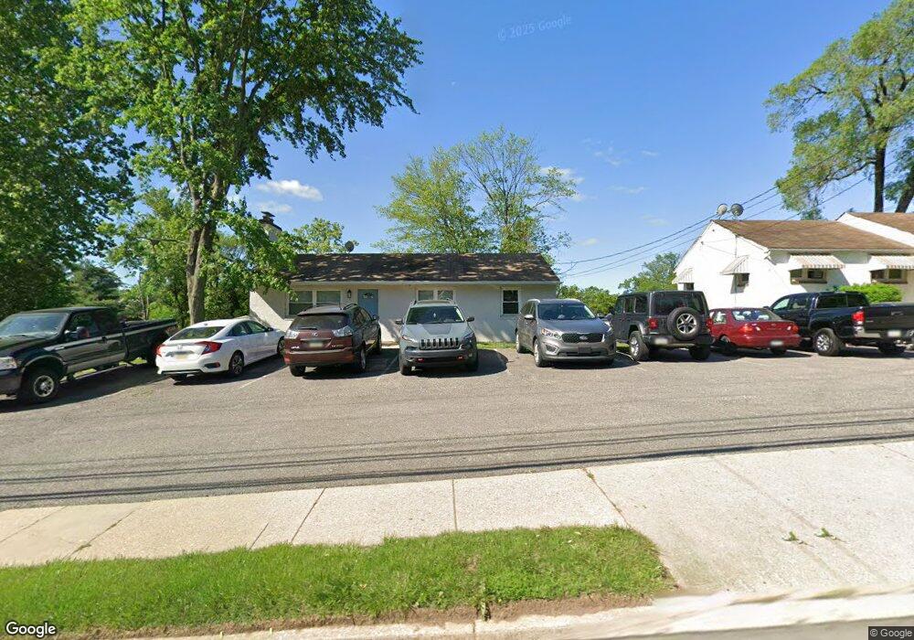
430 E Johnson Hwy Norristown, PA 19401
Estimated Value: $278,000 - $322,323
3
Beds
1
Bath
1,008
Sq Ft
$302/Sq Ft
Est. Value
About This Home
This home is located at 430 E Johnson Hwy, Norristown, PA 19401 and is currently estimated at $304,331, approximately $301 per square foot. 430 E Johnson Hwy is a home located in Montgomery County with nearby schools including Hancock Elementary School, Charles Blockson Middle School, and East Norriton Middle School.
Ownership History
Date
Name
Owned For
Owner Type
Purchase Details
Closed on
Jan 20, 2017
Sold by
American Realty Concepts Llc
Bought by
Tomasco Thomas
Current Estimated Value
Purchase Details
Closed on
Dec 9, 2005
Sold by
Zummo Janet and Mulligan Janet
Bought by
Aad Prop Llc
Home Financials for this Owner
Home Financials are based on the most recent Mortgage that was taken out on this home.
Original Mortgage
$300,000
Interest Rate
6.36%
Create a Home Valuation Report for This Property
The Home Valuation Report is an in-depth analysis detailing your home's value as well as a comparison with similar homes in the area
Home Values in the Area
Average Home Value in this Area
Purchase History
| Date | Buyer | Sale Price | Title Company |
|---|---|---|---|
| Tomasco Thomas | $75,000 | None Available | |
| Aad Prop Llc | $275,000 | -- |
Source: Public Records
Mortgage History
| Date | Status | Borrower | Loan Amount |
|---|---|---|---|
| Previous Owner | Aad Prop Llc | $300,000 |
Source: Public Records
Tax History Compared to Growth
Tax History
| Year | Tax Paid | Tax Assessment Tax Assessment Total Assessment is a certain percentage of the fair market value that is determined by local assessors to be the total taxable value of land and additions on the property. | Land | Improvement |
|---|---|---|---|---|
| 2025 | $5,835 | $95,070 | $35,950 | $59,120 |
| 2024 | $5,835 | $95,070 | $35,950 | $59,120 |
| 2023 | $5,783 | $95,070 | $35,950 | $59,120 |
| 2022 | $5,658 | $95,070 | $35,950 | $59,120 |
| 2021 | $5,631 | $95,070 | $35,950 | $59,120 |
| 2020 | $5,372 | $95,070 | $35,950 | $59,120 |
| 2019 | $5,273 | $95,070 | $35,950 | $59,120 |
| 2018 | $3,510 | $95,070 | $35,950 | $59,120 |
| 2017 | $4,843 | $95,070 | $35,950 | $59,120 |
| 2016 | $4,805 | $95,070 | $35,950 | $59,120 |
| 2015 | $4,690 | $95,070 | $35,950 | $59,120 |
| 2014 | $4,604 | $95,070 | $35,950 | $59,120 |
Source: Public Records
Map
Nearby Homes
- 51 Zummo Way Unit CONDO
- 41 Zummo Way
- 37 Zummo Way
- 8 Zummo Way
- 4 Zummo Way
- 1847 Arch St
- 1879 Harmony Ct Unit 72A
- 1831 Arch St Unit 9W
- 1829 Arch St Unit 10S
- 1827 Arch St Unit 11E
- 1825 Arch St Unit 12E
- 272 Harmony Ct Unit 78A
- 1819 Arch St Unit 15E
- 1817 Arch St Unit 16E
- 1815 Arch St Unit 17S
- 1813 Arch St Unit 18W
- 1883 Arbor Place Dr Unit 81C
- 1883 Arbor Place Dr Unit 82C
- 1883 Arbor Place Dr Unit 84A
- 1850 Arbor Place Dr Unit 48E
- 420 E Johnson Hwy
- 325 E Johnson Hwy
- 410 E Johnson Hwy
- 327 E Johnson Hwy
- 333 E Johnson Hwy
- 401 E Johnson Hwy
- 319 Connor St
- 6 Connor St
- 1906 Rahway Ave
- 305 Connor St
- 001 Rahway Ave
- 311 Connor St
- 400 E Johnson Hwy
- 1 Connor St
- 52 Zummo Way
- 1910 Rahway Ave
- 50 Zummo Way
- 51 Zummo Way
- 335 E Johnson Hwy
- 48 Zummo Way Unit CONDO